Uphill
99m
Length
6km
Duration
1h30min
Elev gain
99m
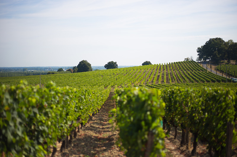
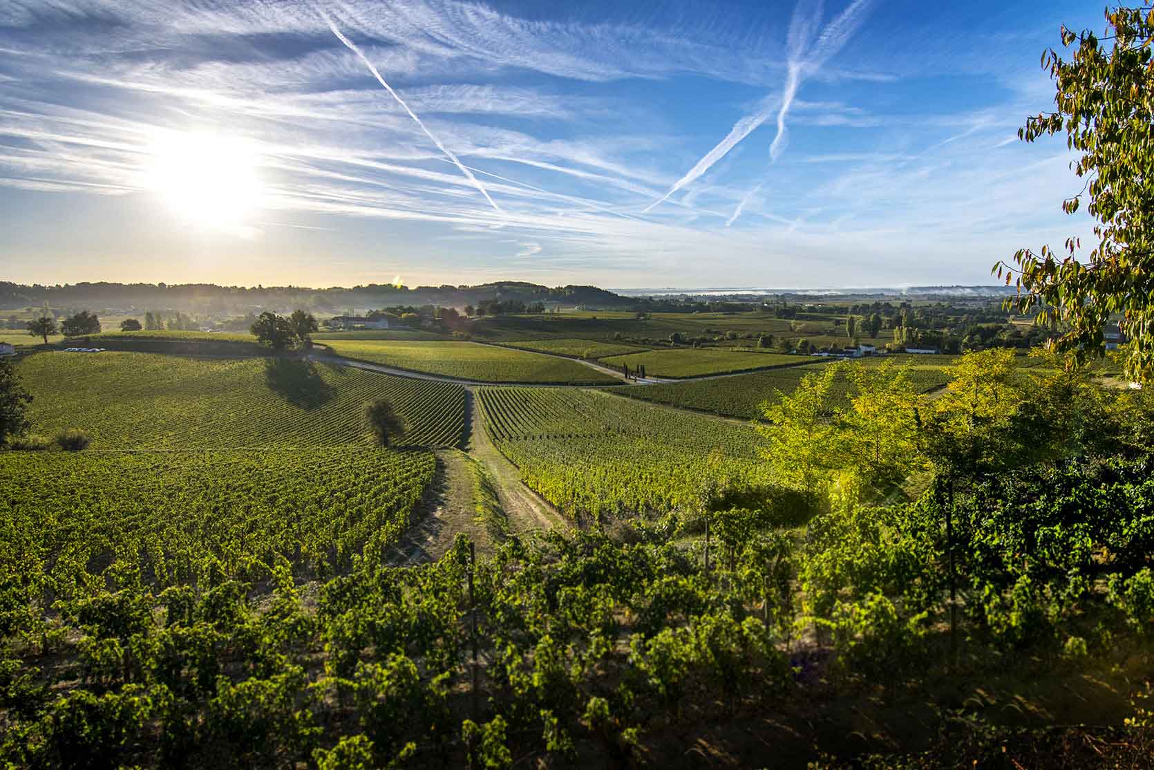
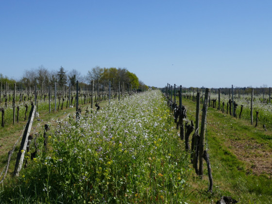
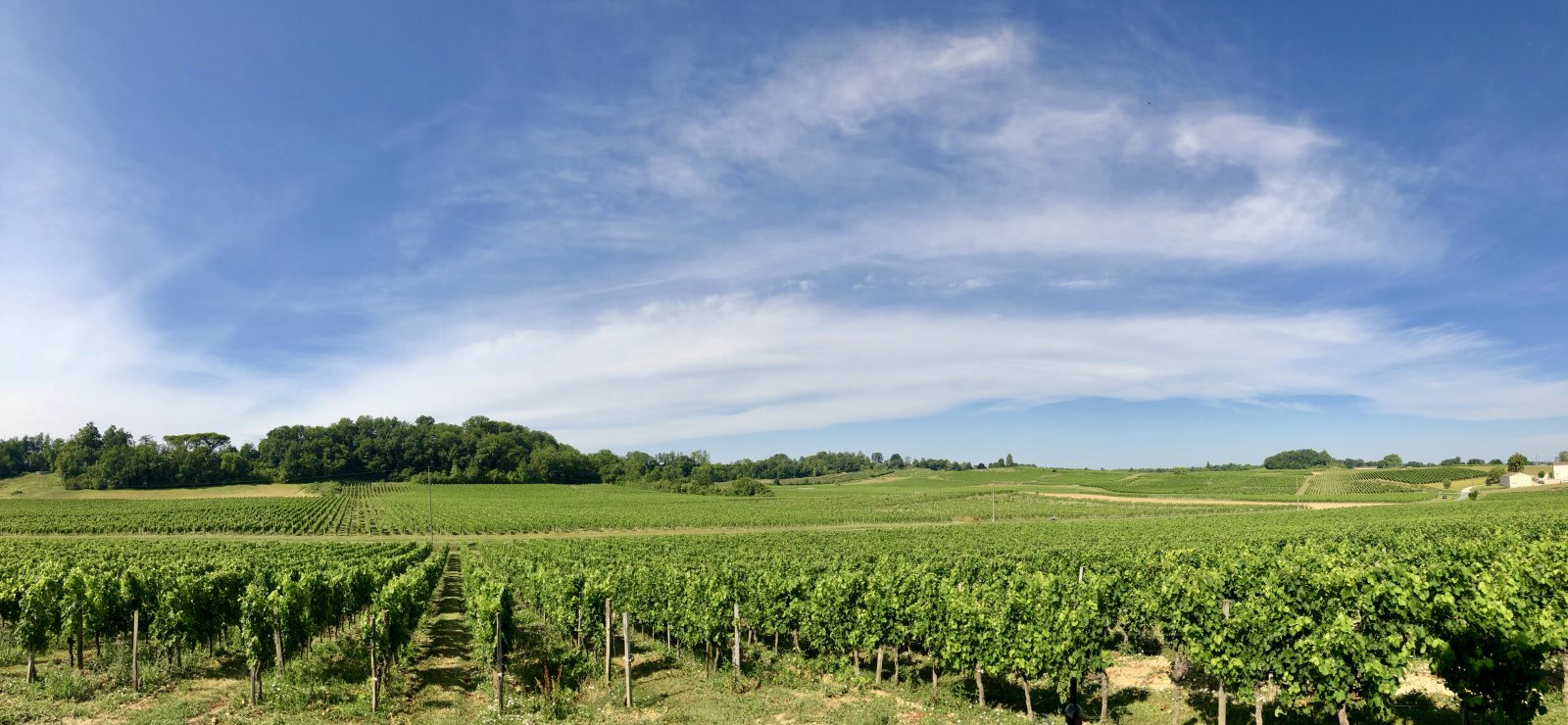
Departing from Saillans, take a quiet stroll through the vineyards, taking advantage of a few hills to get views of the Isle river and Libourne.

Already more than 200,000 users!
Uphill
99m
Highest point
67m
Downhill
99m
Lowest point
17m
Route type
Loop
Download the map on your smartphone to save battery and rest assured to always keep access to the route, even without signal.
Includes IGN France and Swisstopo.
I indicate whether dogs are allowed or prohibited on this trail
All year
2 ratings
Also enjoy:

Already more than 200,000 users!