Uphill
392m
Length
12km
Duration
4h
Elev gain
392m
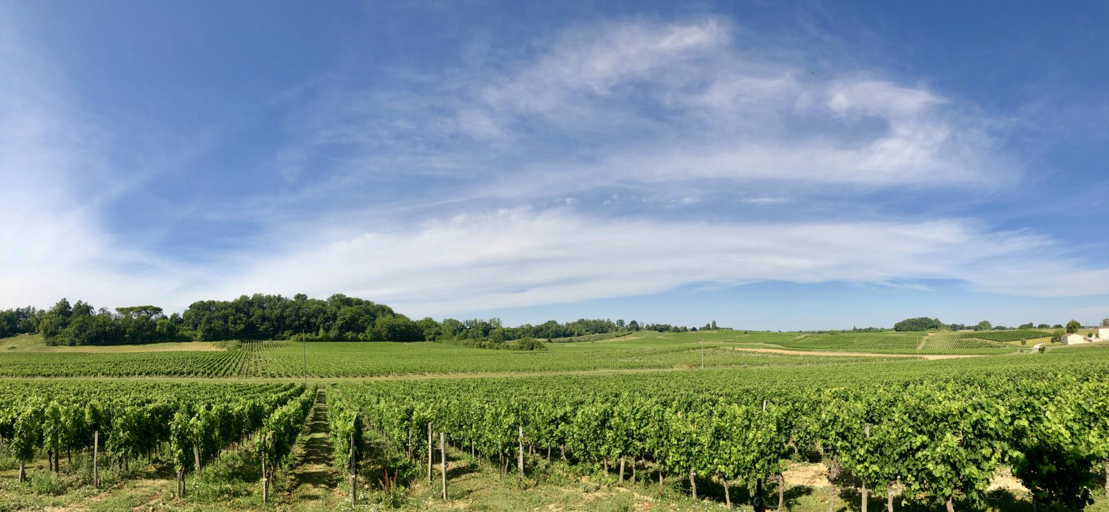
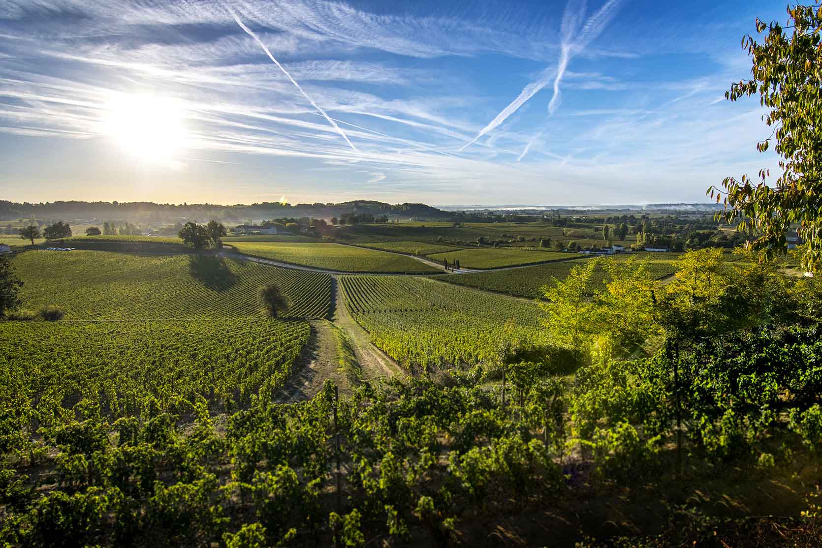
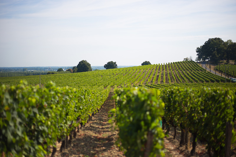
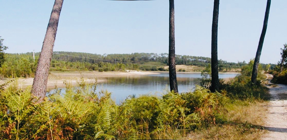
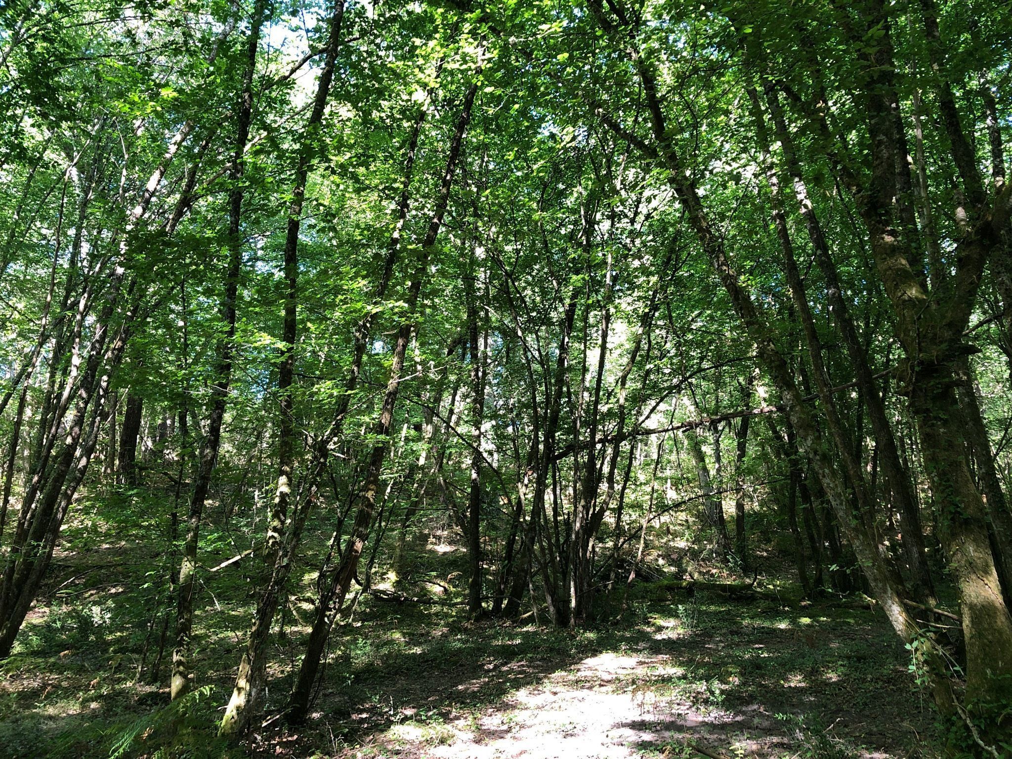
Walk in the forest between Lagorce and Maine Pommier, almost entirely in the undergrowth, with some rare passages on the road.

Already more than 200,000 users!
Uphill
392m
Highest point
115m
Downhill
392m
Lowest point
17m
Route type
Loop
Download the map on your smartphone to save battery and rest assured to always keep access to the route, even without signal.
Includes IGN France and Swisstopo.
I indicate whether dogs are allowed or prohibited on this trail
All year
0 ratings
Also enjoy:

Already more than 200,000 users!