Uphill
231m
Length
9km
Duration
3h
Elev gain
231m
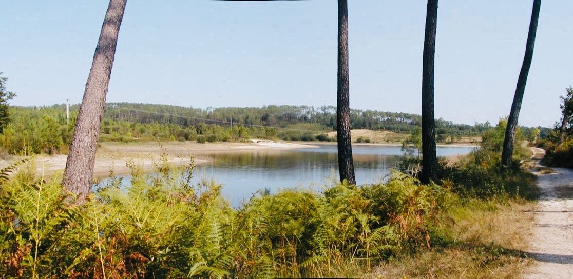
Here is a nice walk that starts in Rioux-Martin. The route takes place between fields and forest until reaching the charming Weasels pond, which it circles.

Already more than 200,000 users!
Uphill
231m
Highest point
104m
Downhill
231m
Lowest point
30m
Route type
Loop
Download the map on your smartphone to save battery and rest assured to always keep access to the route, even without signal.
Includes IGN France and Swisstopo.
I indicate whether dogs are allowed or prohibited on this trail
All year
1 rating
Superbe environnement
Très calme
À faire sans hésiter
Also enjoy:

Already more than 200,000 users!


