Uphill
123m
France > Nouvelle-Aquitaine > Charente
Length
9km
Duration
2h30min
Elev gain
123m
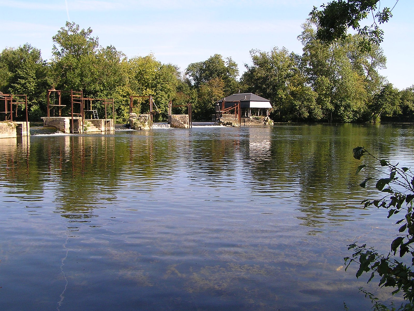
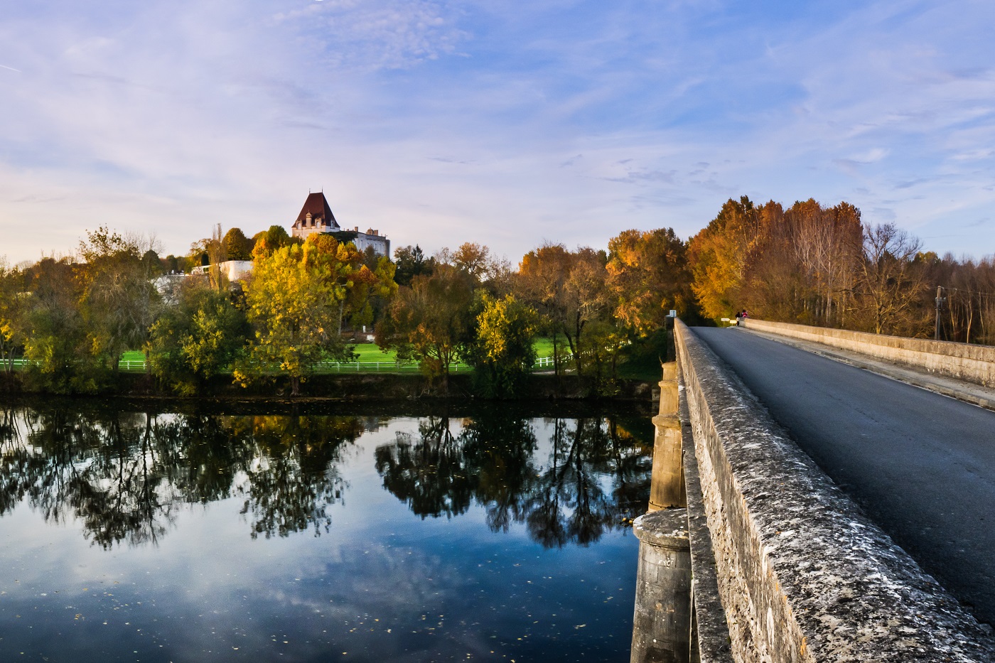
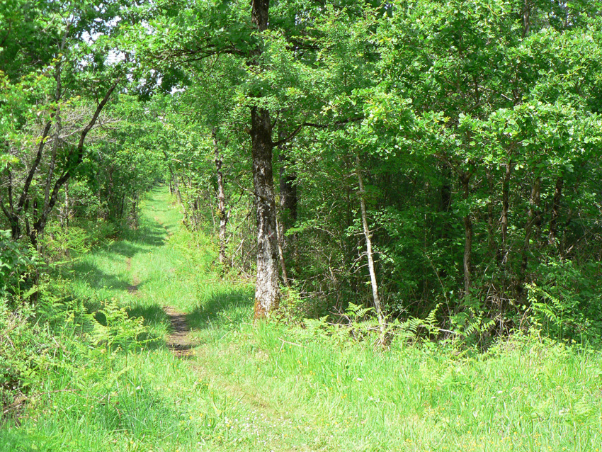
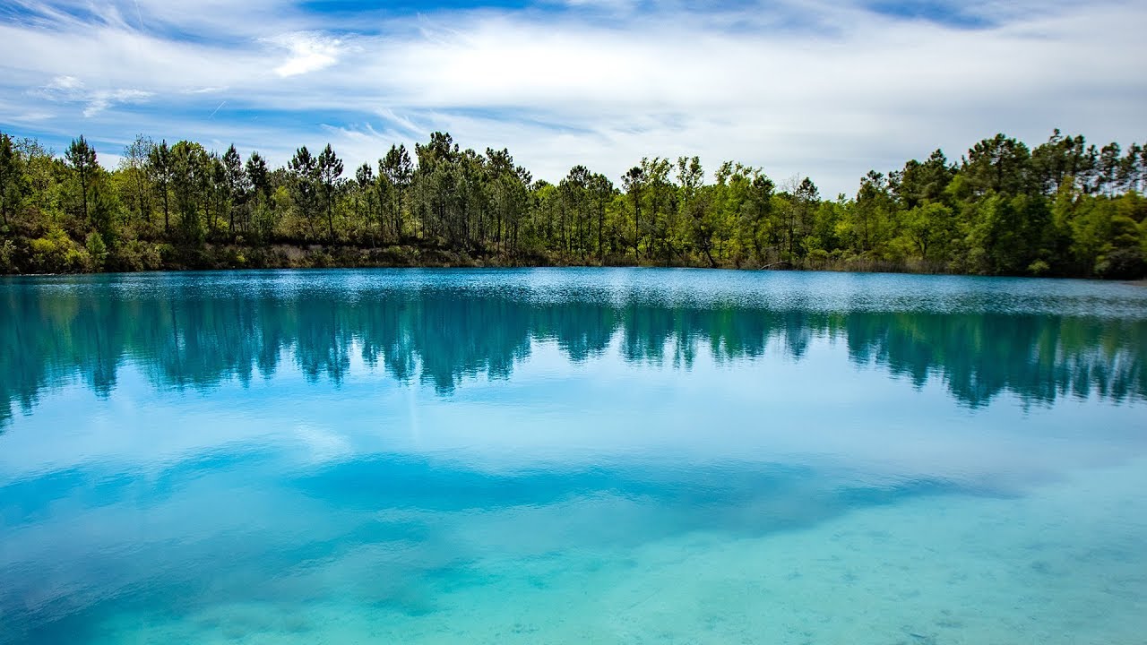
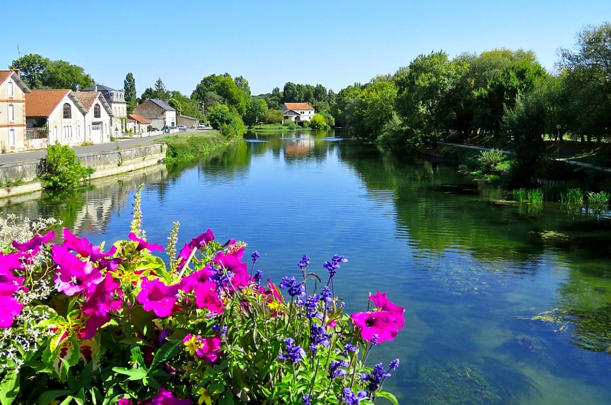
Here is a great walk that takes place along the Charente and begins in the town of Châteauneuf-sur-Charente. The route makes a loop in an idyllic setting and offers the possibility of seeing the Mattard and Malvy islands.
Picnic tables are also located on the course if you wish to take a short lunch break.

Already more than 200,000 users!
Uphill
123m
Highest point
60m
Downhill
123m
Lowest point
17m
Route type
Loop
Download the map on your smartphone to save battery and rest assured to always keep access to the route, even without signal.
Includes IGN France and Swisstopo.
I indicate whether dogs are allowed or prohibited on this trail
All year
2 ratings
Also enjoy:

Already more than 200,000 users!