Uphill
243m
Length
9km
Duration
3h
Elev gain
243m
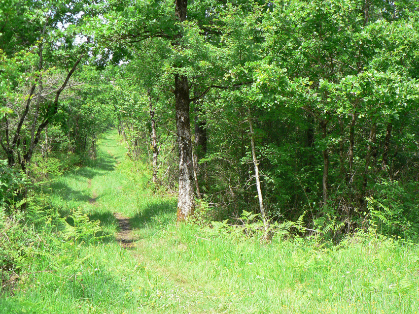
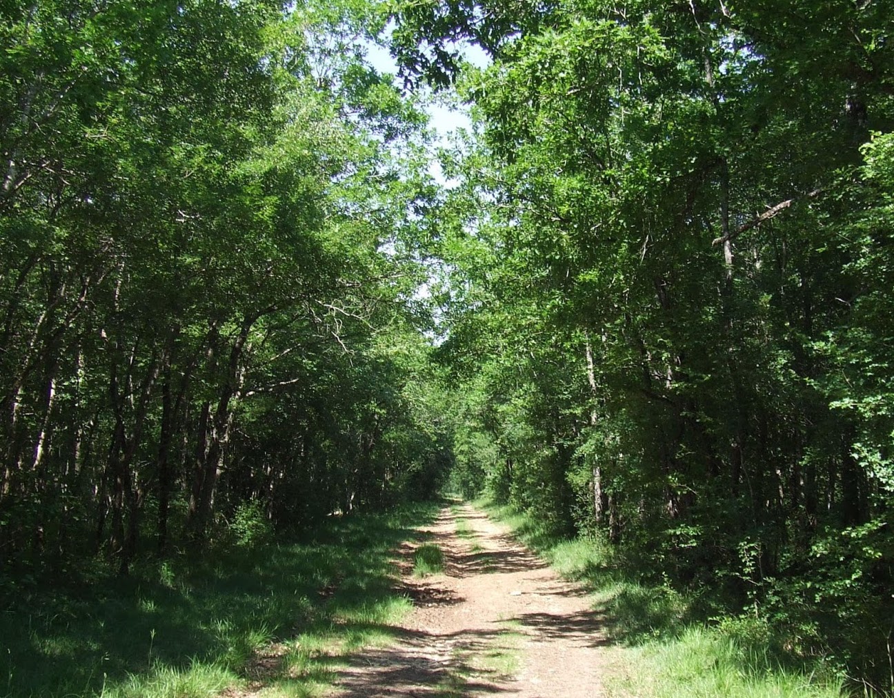
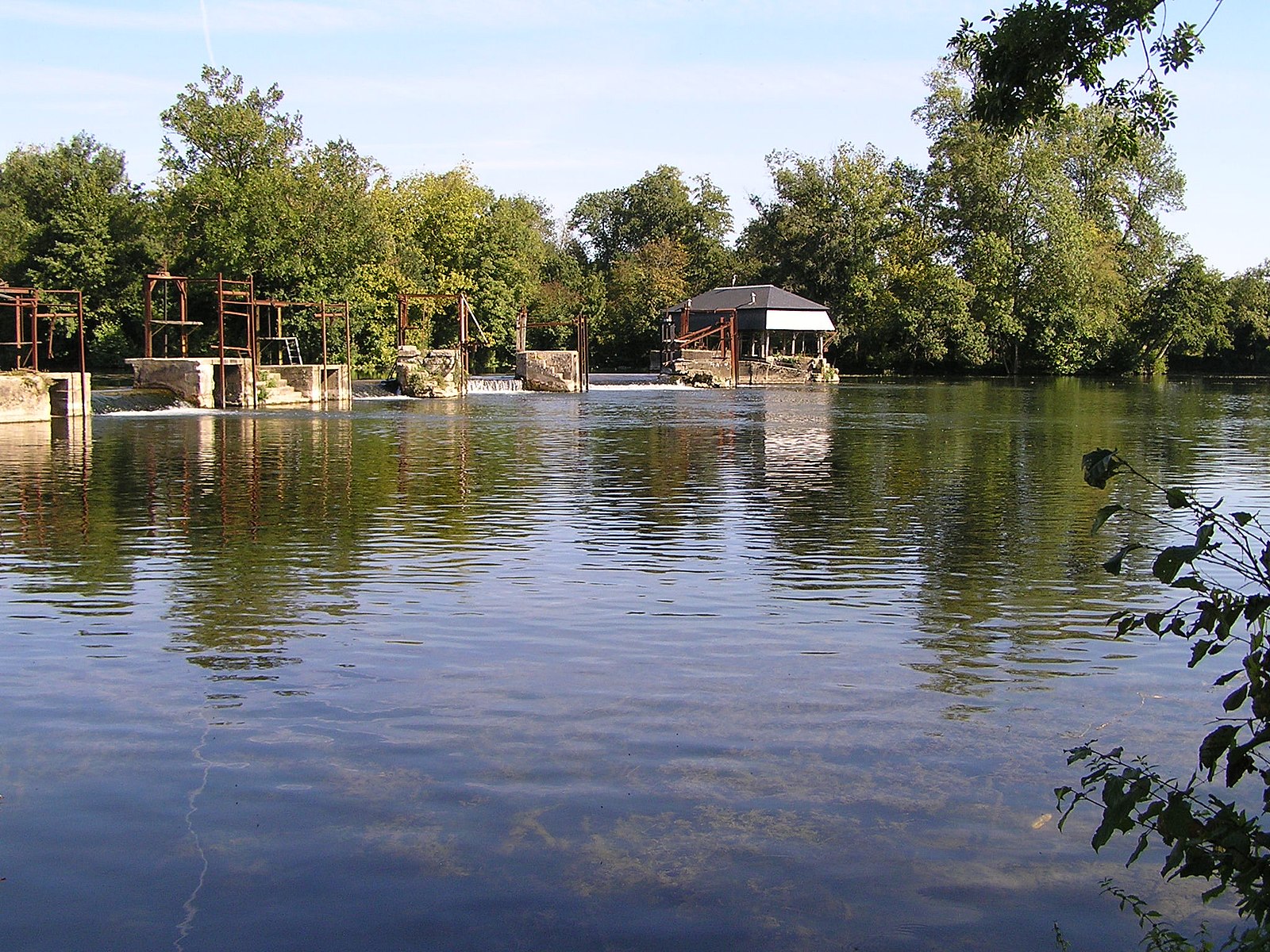
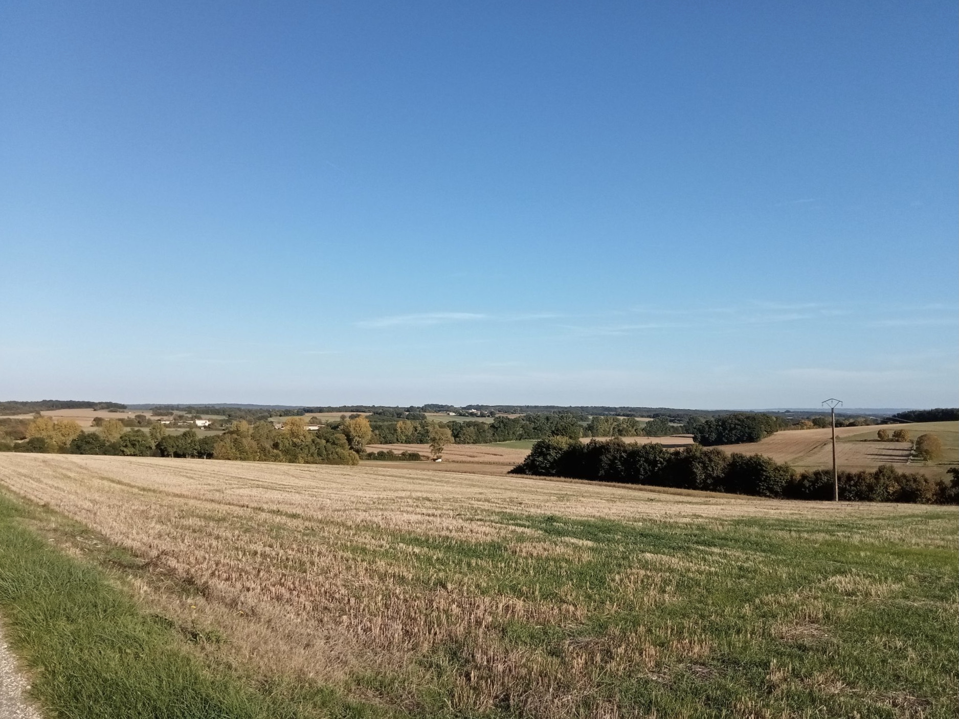
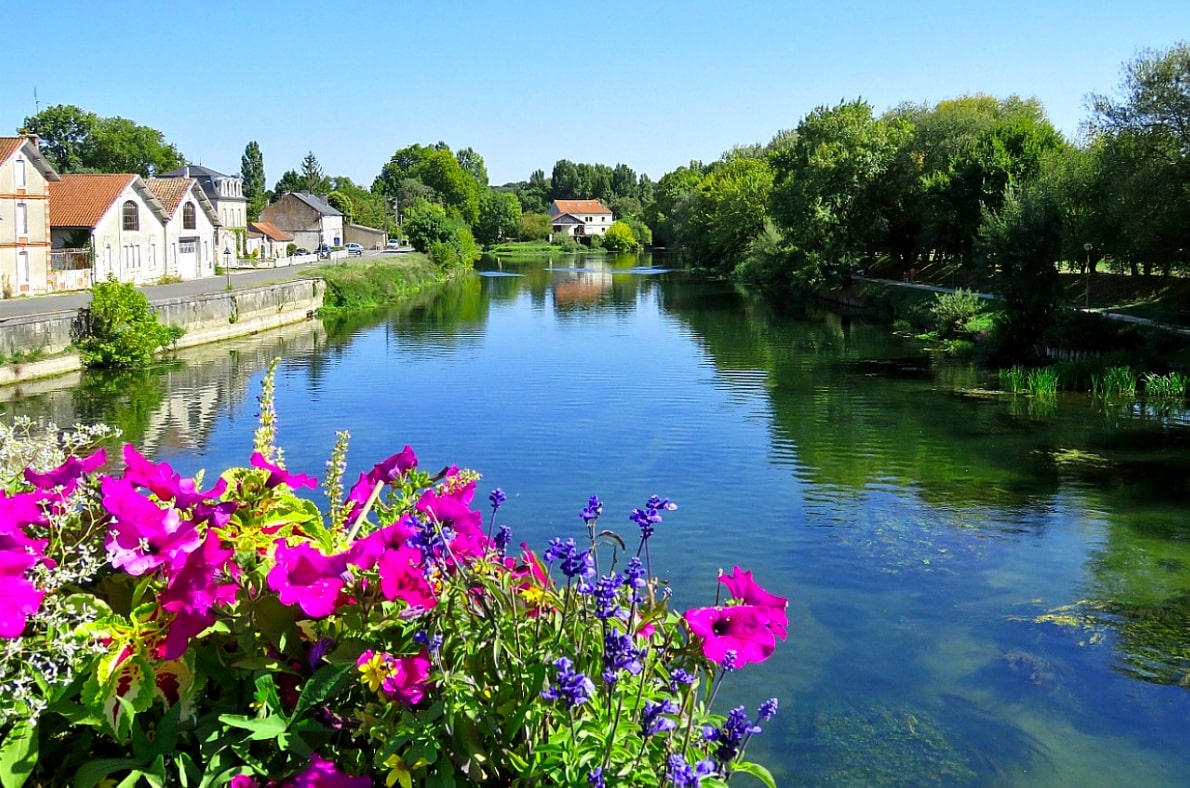
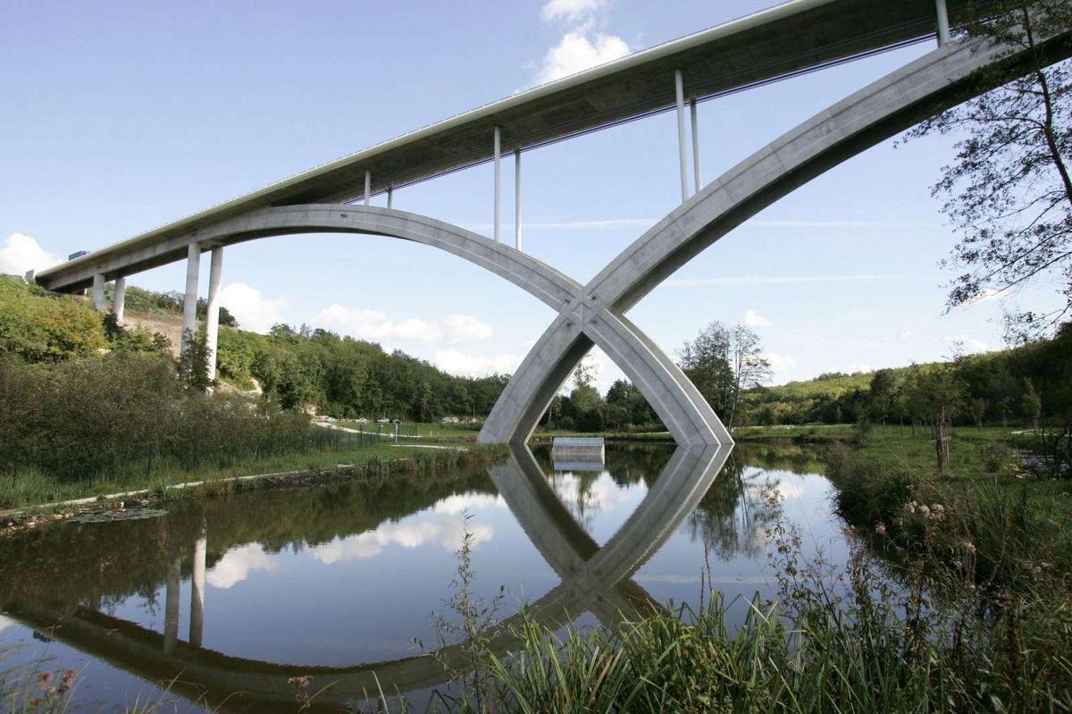
Fancy a short nature getaway near Angoulême? There she is. Starting from Soyaux, this route explores the impressive Anguienne viaduct. The path also runs along a river and passes very close to the Frégeneuil dwelling.

Already more than 200,000 users!
Uphill
243m
Highest point
150m
Downhill
243m
Lowest point
48m
Route type
Loop
Download the map on your smartphone to save battery and rest assured to always keep access to the route, even without signal.
Includes IGN France and Swisstopo.
I indicate whether dogs are allowed or prohibited on this trail
All year
0 ratings
Also enjoy:

Already more than 200,000 users!