Uphill
109m
Length
5km
Duration
1h30min
Elev gain
109m
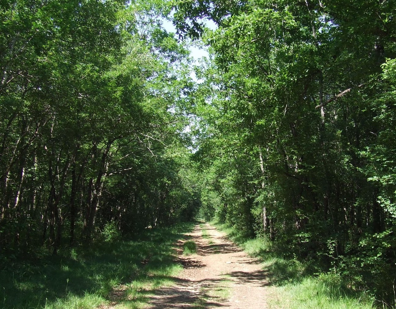
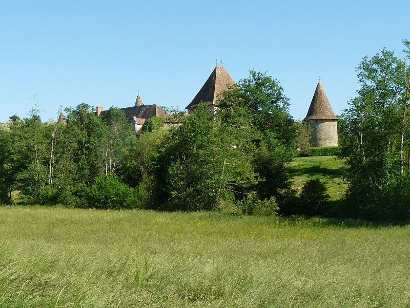
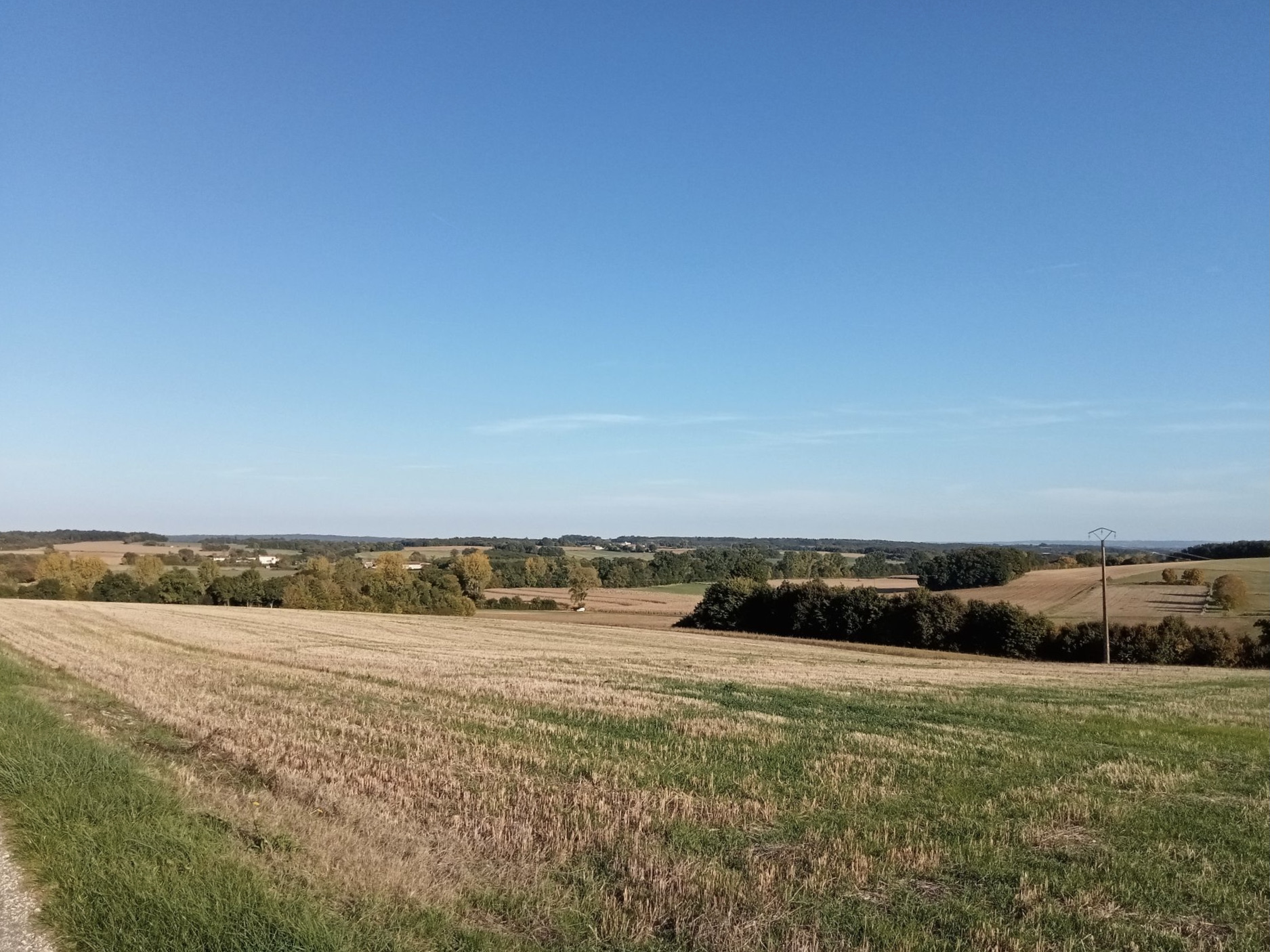
Departing from Muzenangle, this walk makes a loop in the surrounding countryside. On a pretty open path, the route partly runs along the Bonnieure then crosses fields before returning to the starting point.

Already more than 200,000 users!
Uphill
109m
Highest point
129m
Downhill
109m
Lowest point
43m
Route type
Loop
Download the map on your smartphone to save battery and rest assured to always keep access to the route, even without signal.
Includes IGN France and Swisstopo.
I indicate whether dogs are allowed or prohibited on this trail
All year
0 ratings
Also enjoy:

Already more than 200,000 users!