Uphill
131m
Length
7km
Duration
2h
Elev gain
131m
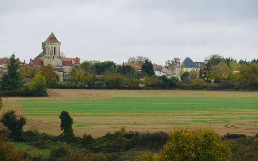
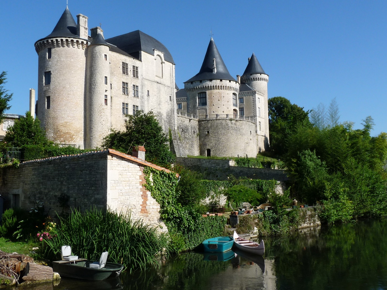
Departing from Verteuil-sur-Charente, this loop trail passes in front of the Château de Verteuil then continues towards the Charente, in order to follow it to return to the starting point.
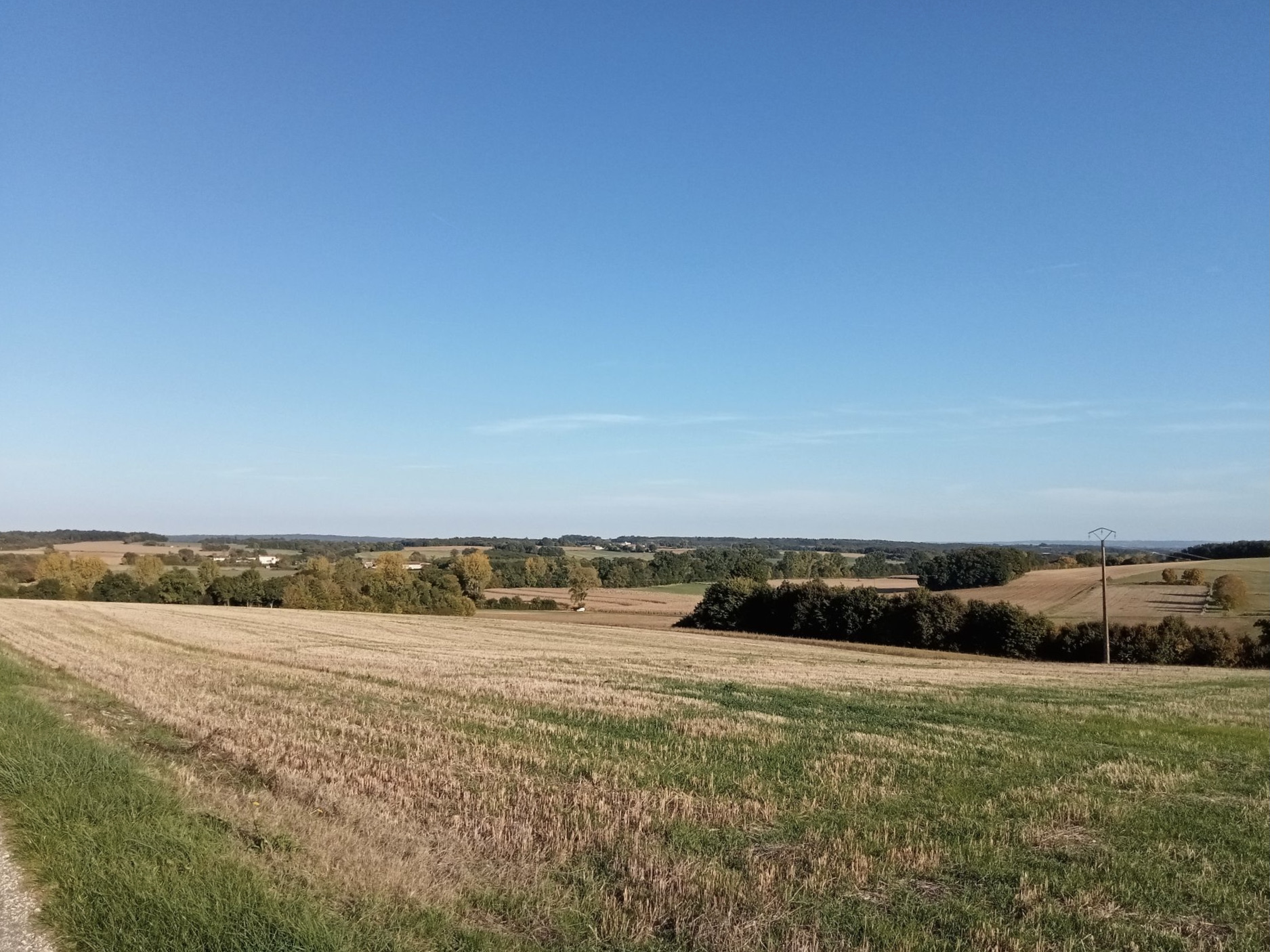
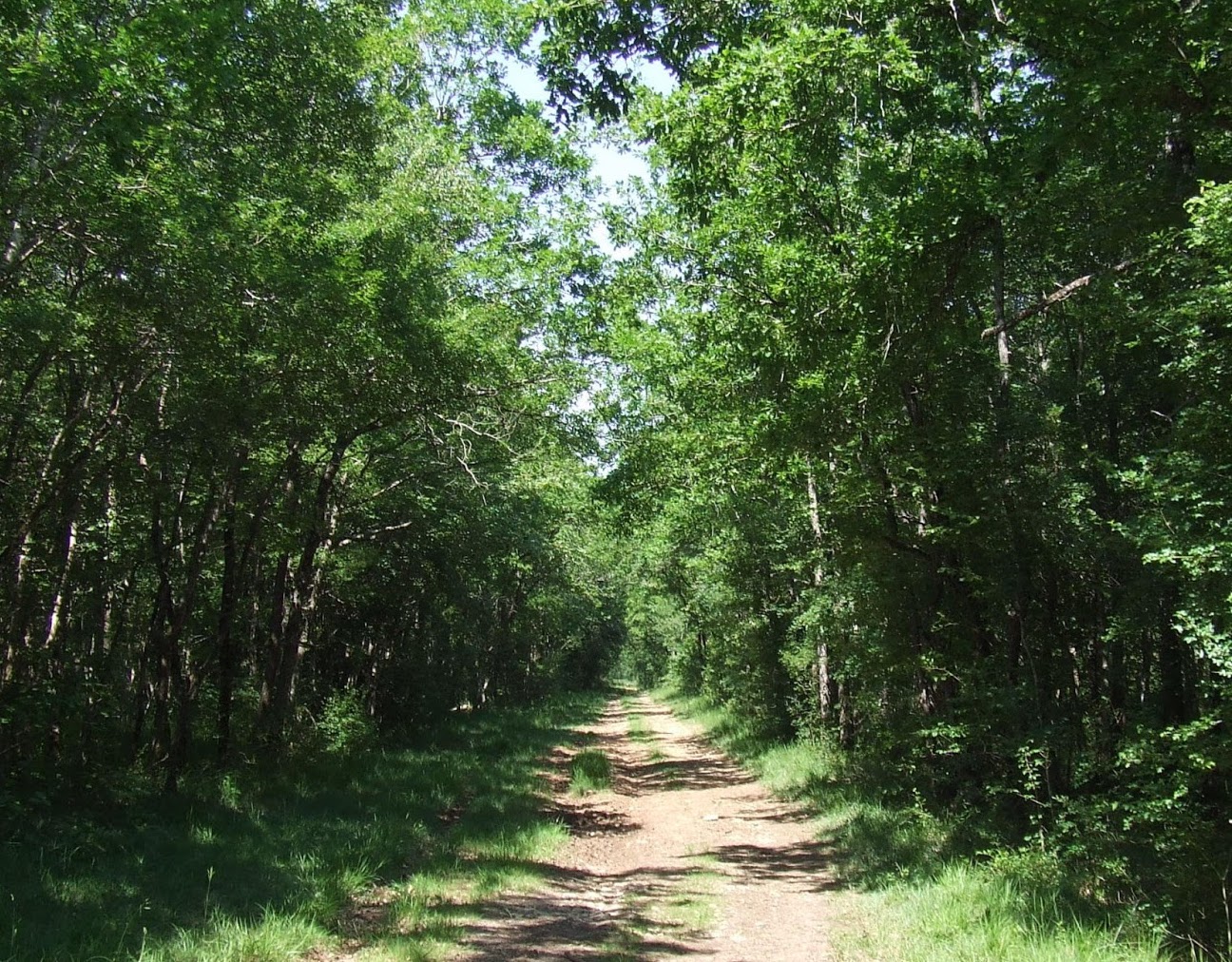
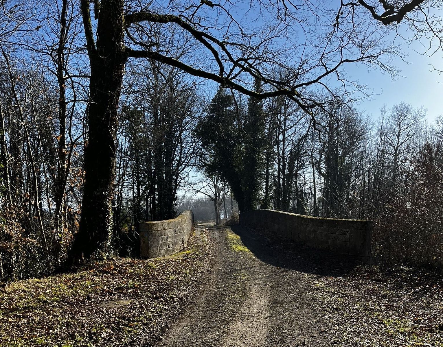
The route alternates between paths and small roads.

Already more than 200,000 users!
Uphill
131m
Highest point
115m
Downhill
131m
Lowest point
61m
Route type
Loop
Download the map on your smartphone to save battery and rest assured to always keep access to the route, even without signal.
Includes IGN France and Swisstopo.
I indicate whether dogs are allowed or prohibited on this trail
All year
1 rating
Also enjoy:

Already more than 200,000 users!