Uphill
209m
Length
9km
Duration
3h
Elev gain
209m
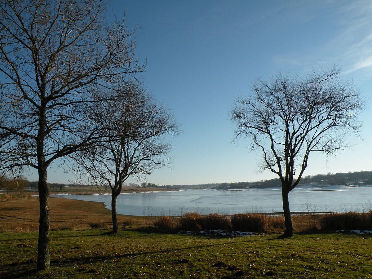
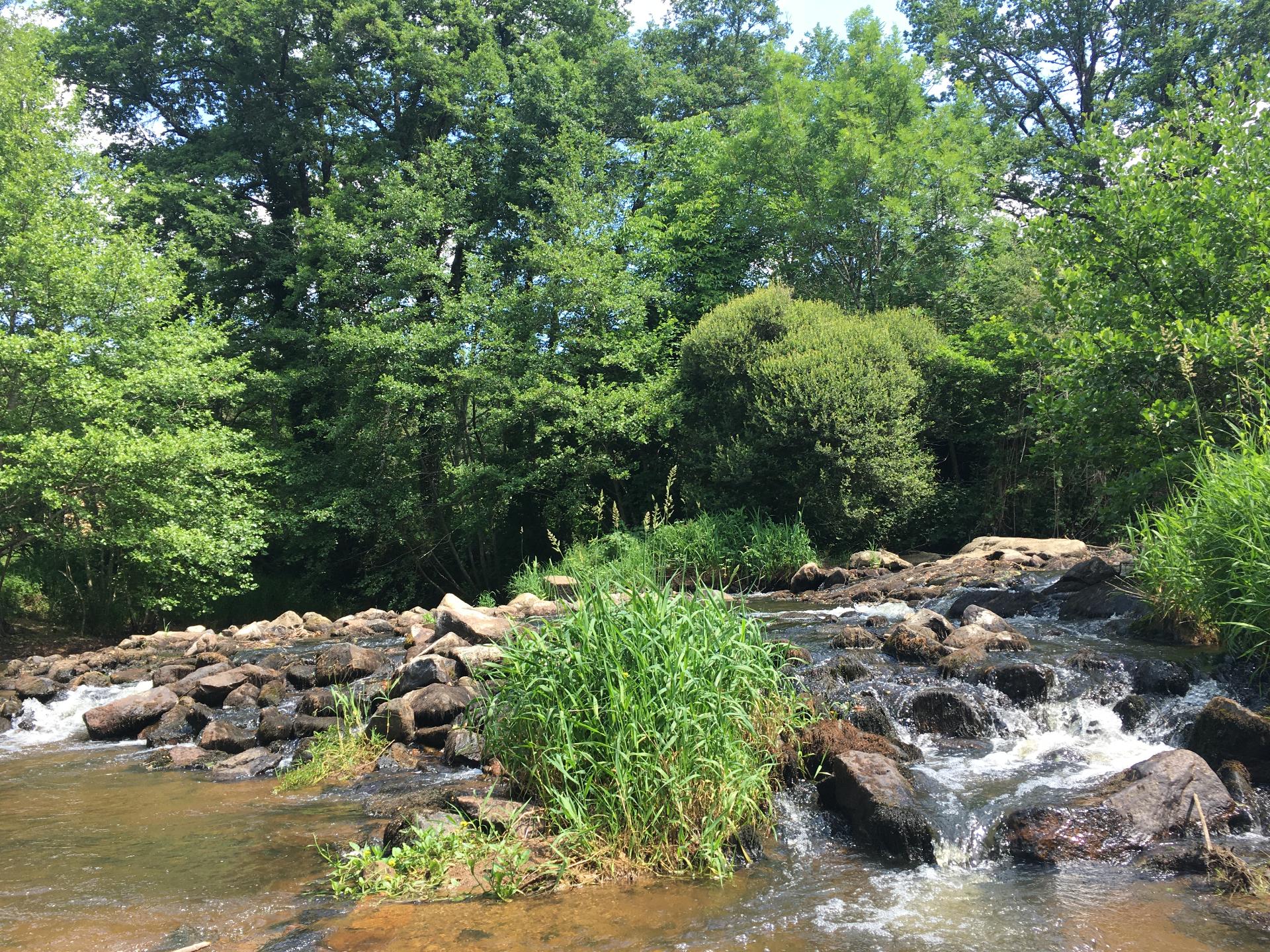
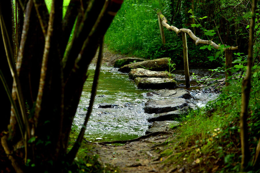
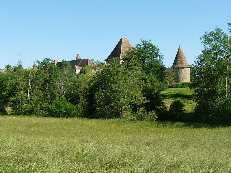
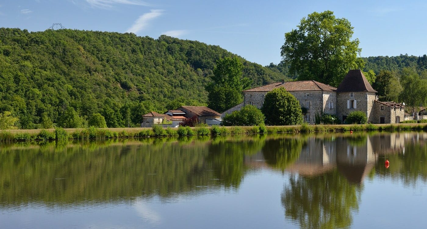
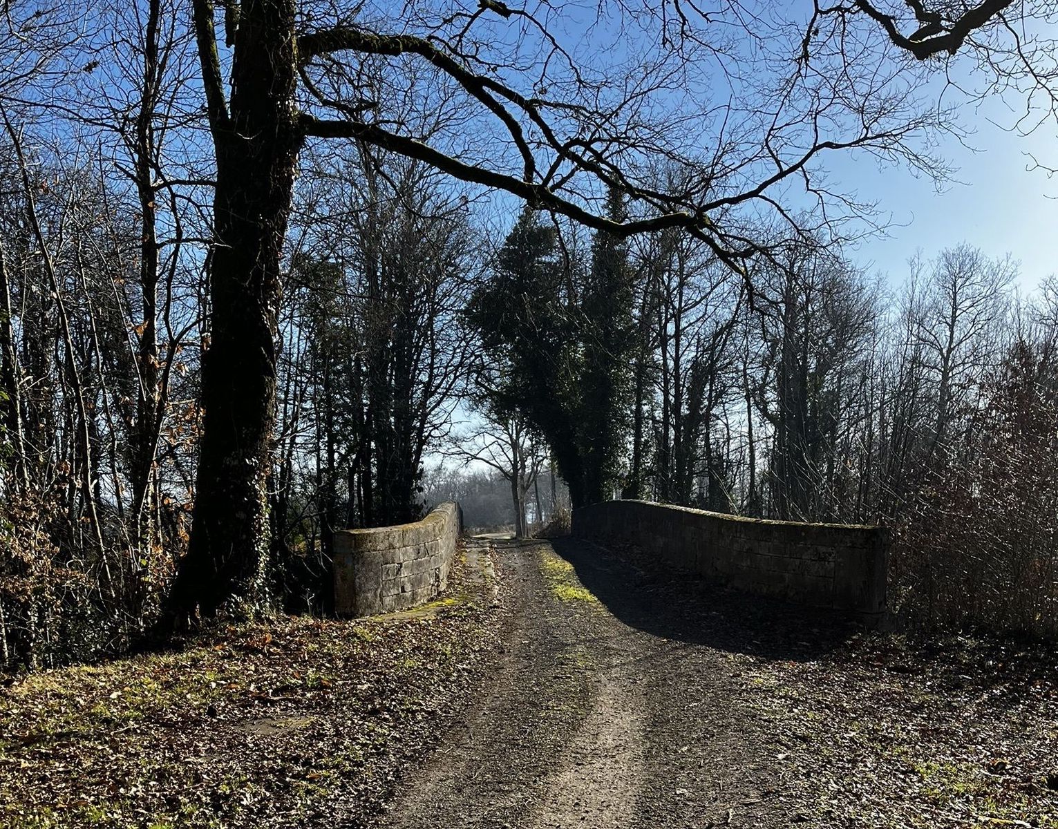
A very pleasant little walk that will satisfy the whole family. Indeed, this course is accessible to all and makes a beautiful loop in the countryside, between fields and forests.

Already more than 200,000 users!
Uphill
209m
Highest point
246m
Downhill
209m
Lowest point
155m
Route type
Loop
Download the map on your smartphone to save battery and rest assured to always keep access to the route, even without signal.
Includes IGN France and Swisstopo.
I indicate whether dogs are allowed or prohibited on this trail
All year
1 rating
Also enjoy:

Already more than 200,000 users!