Uphill
367m
Length
7km
Duration
3h
Elev gain
367m
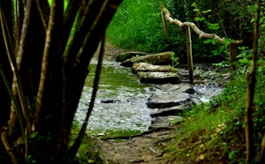
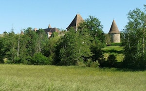
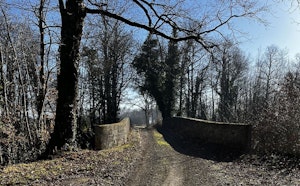
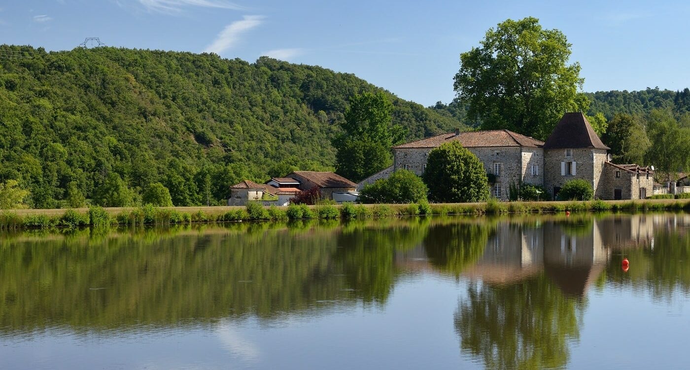
Here is a nice walk around Le Chambon. The route begins by going around two water reservoirs, then runs along the Tardoire to reach Empeyrat, before returning to the direction of the starting point.

Already more than 200,000 users!
Uphill
367m
Highest point
210m
Downhill
367m
Lowest point
116m
Route type
Loop
Download the map on your smartphone to save battery and rest assured to always keep access to the route, even without signal.
Includes IGN France and Swisstopo.
I indicate whether dogs are allowed or prohibited on this trail
All year
0 ratings
Also enjoy:

Already more than 200,000 users!