Uphill
227m
Length
13km
Duration
4h
Elev gain
227m
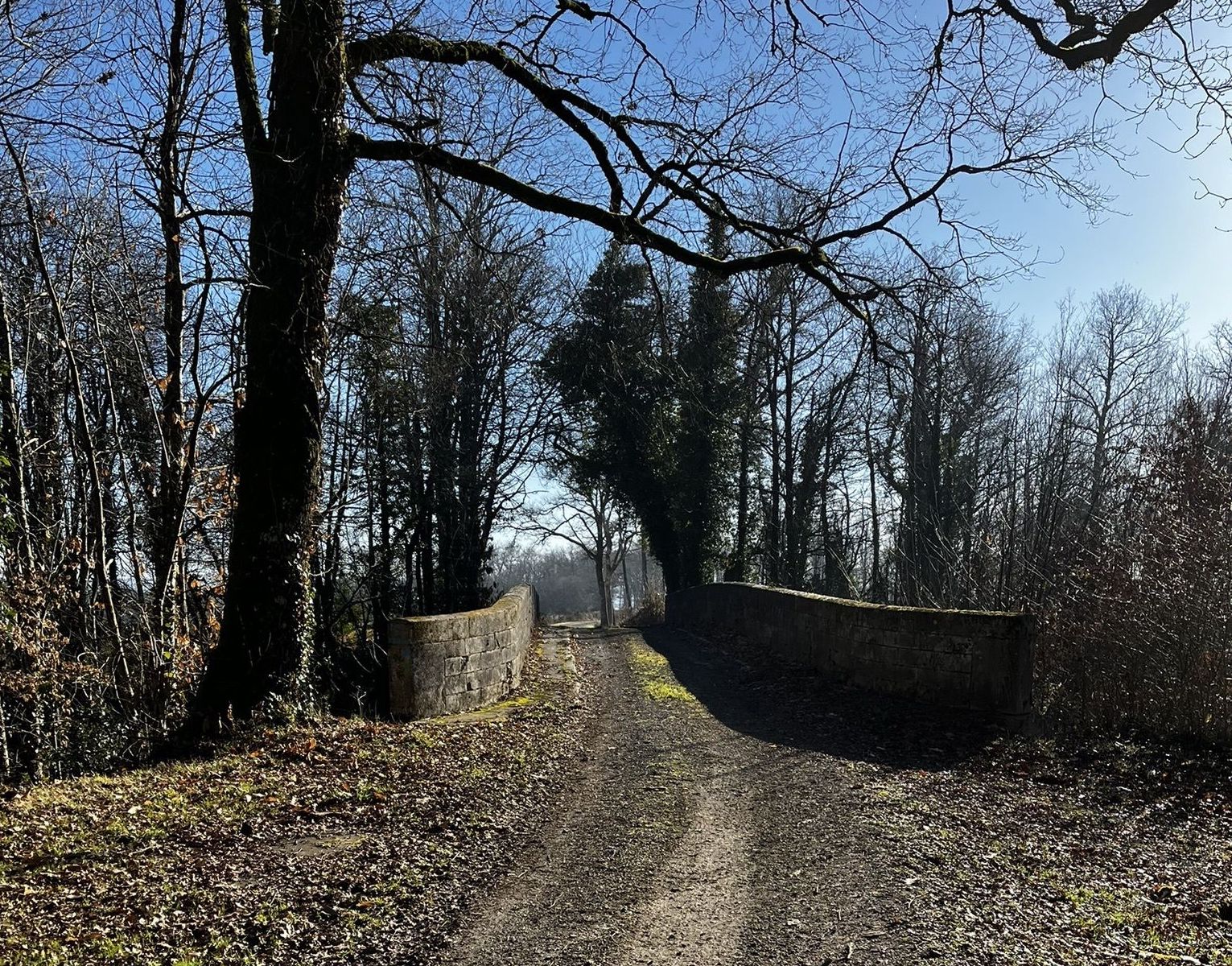
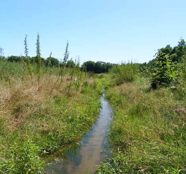
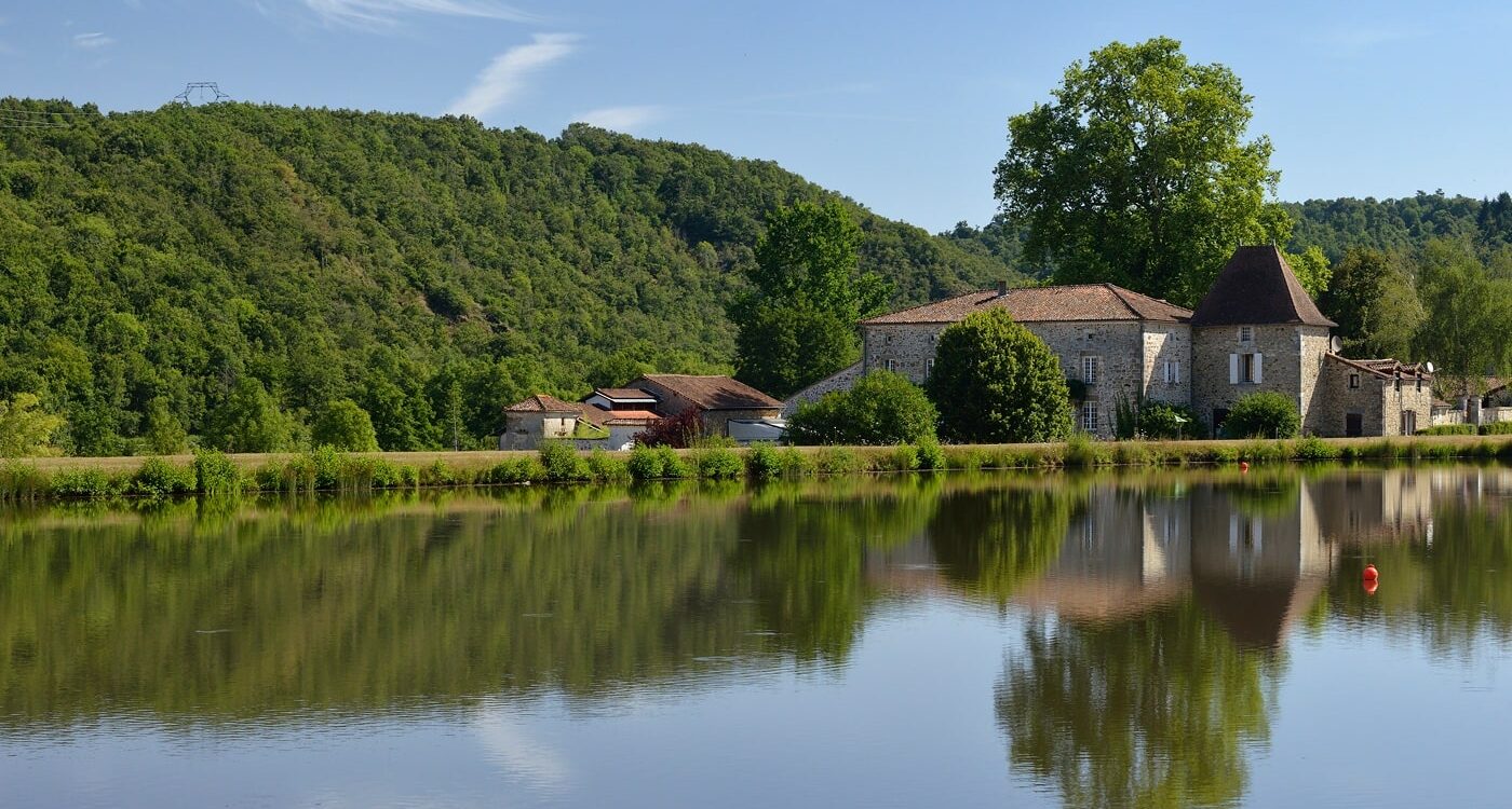
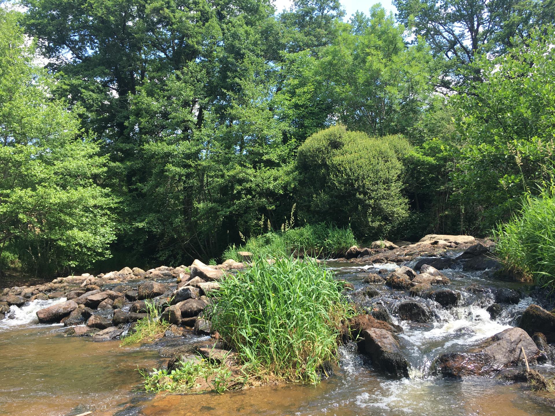
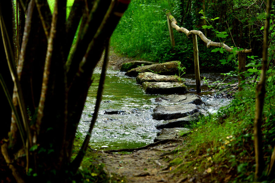
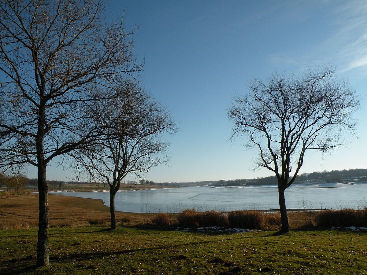
This route makes a nice loop around the Lac de Lavaud. This artificial lake was created by the construction of a dam in 1989, on the upstream part of the Charente. This hike therefore offers pretty views of the lake and takes place in a more than pleasant setting.

Already more than 200,000 users!
Uphill
227m
Highest point
281m
Downhill
227m
Lowest point
194m
Route type
Loop
Download the map on your smartphone to save battery and rest assured to always keep access to the route, even without signal.
Includes IGN France and Swisstopo.
I indicate whether dogs are allowed or prohibited on this trail
All year
0 ratings
Also enjoy:

Already more than 200,000 users!