Uphill
40m
Length
5km
Duration
1h30min
Elev gain
40m
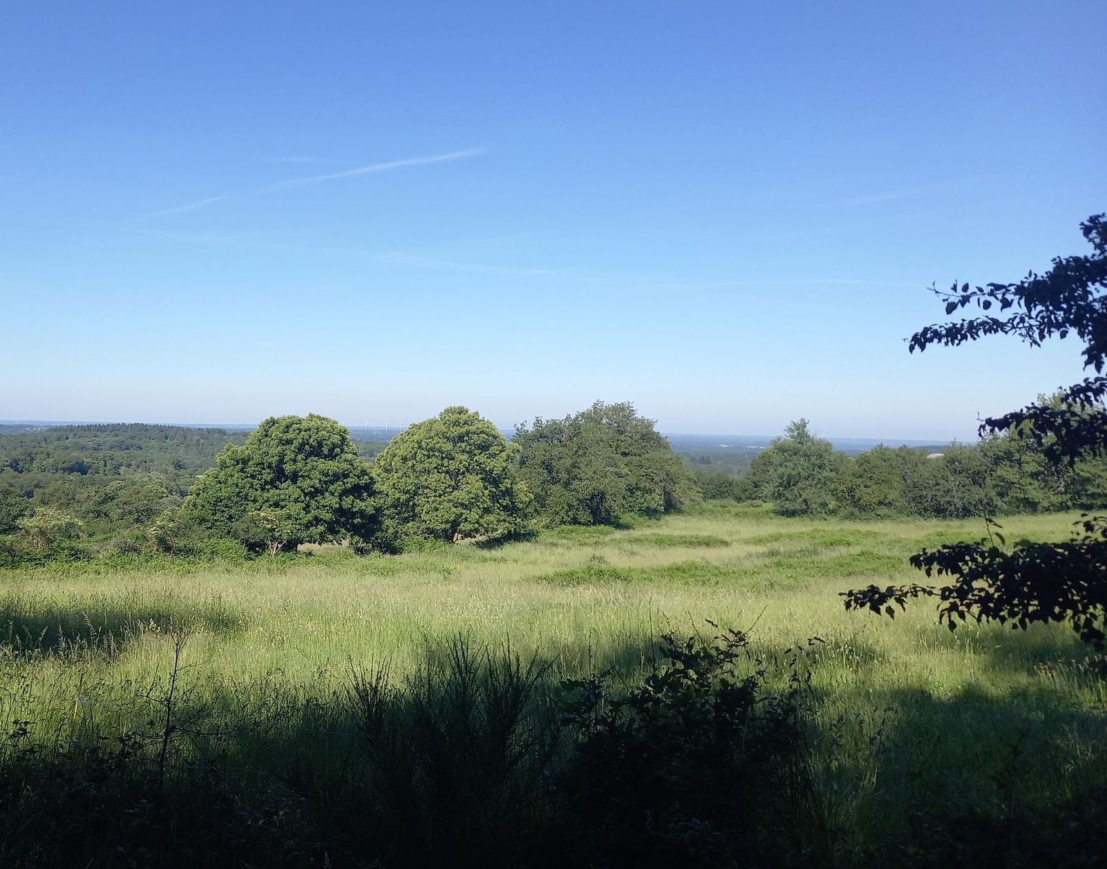
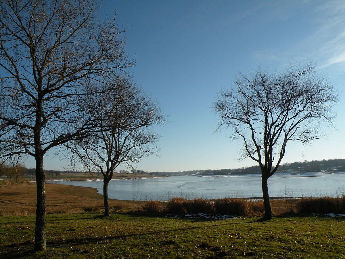
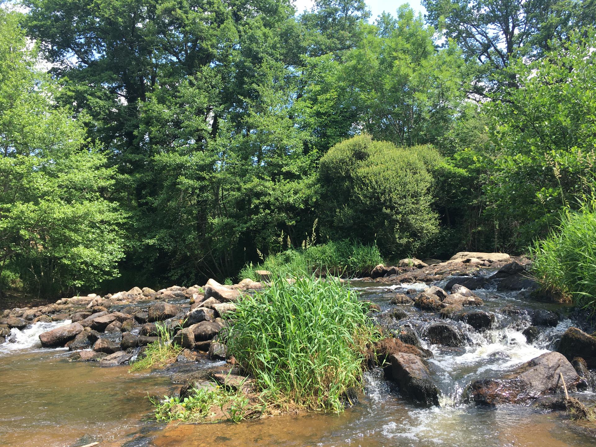
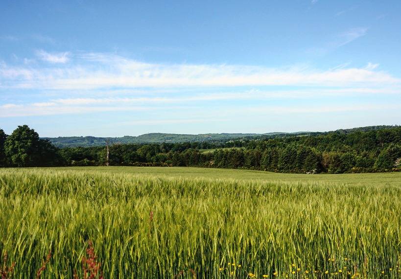
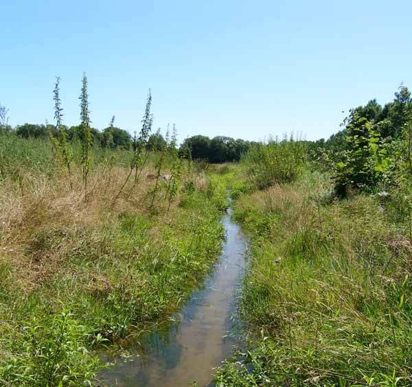
With its 46 hectares, the island of Navière, or Chaillac, is the largest of all the islands of Vienne. This walk allows you to discover all the riches of the local fauna and flora.

Already more than 200,000 users!
Uphill
40m
Highest point
172m
Downhill
40m
Lowest point
142m
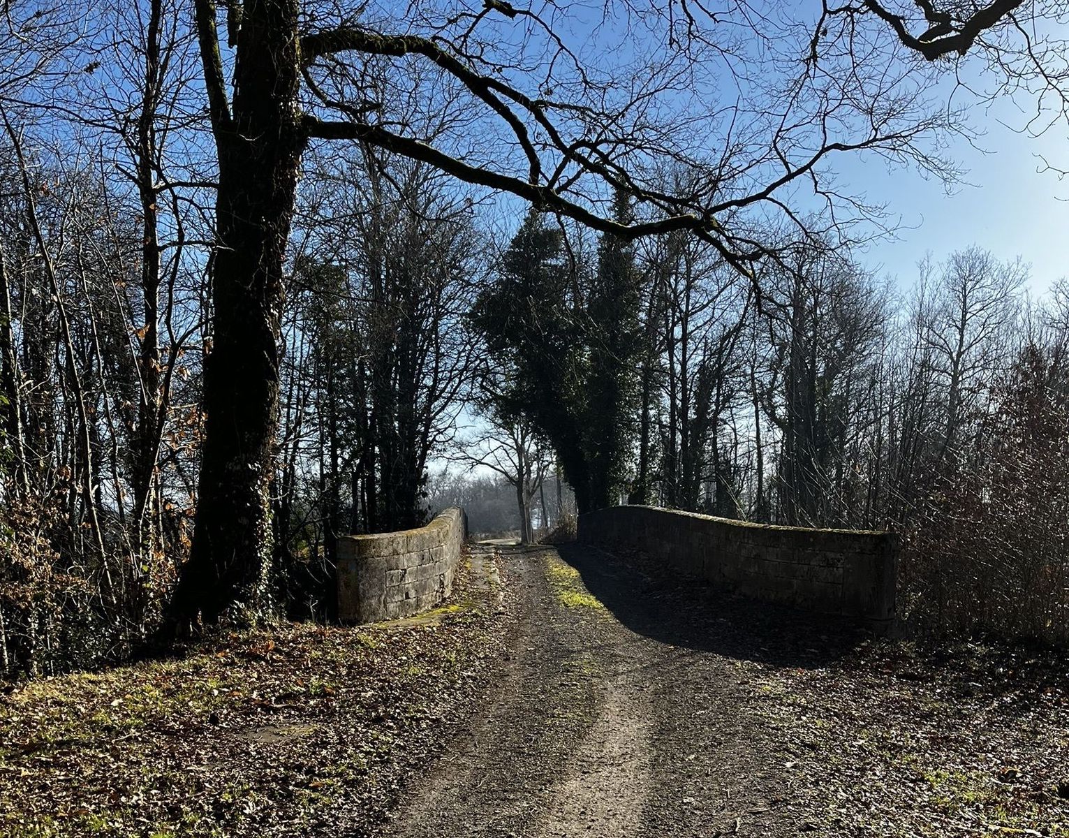
Route type
Loop
Download the map on your smartphone to save battery and rest assured to always keep access to the route, even without signal.
Includes IGN France and Swisstopo.
I indicate whether dogs are allowed or prohibited on this trail
All year
0 ratings
Also enjoy:

Already more than 200,000 users!