Uphill
157m
Length
7km
Duration
2h
Elev gain
157m
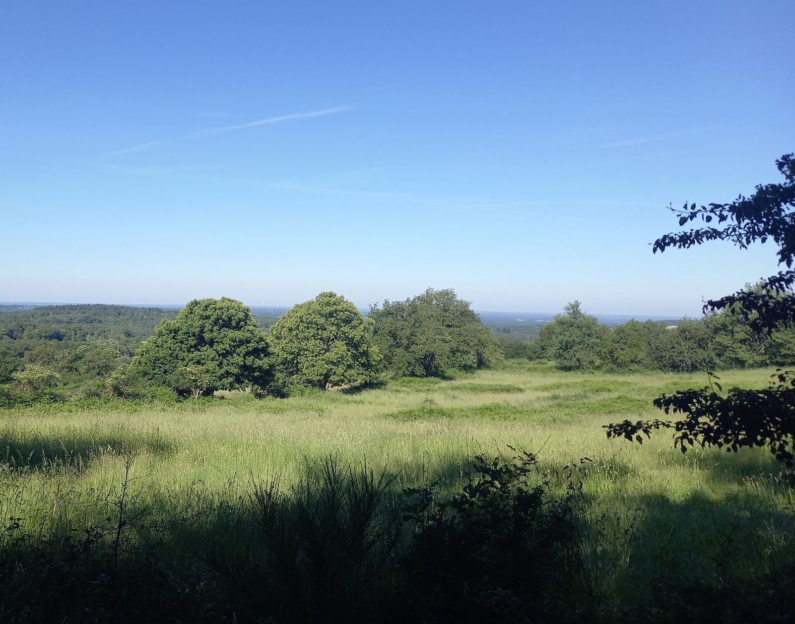
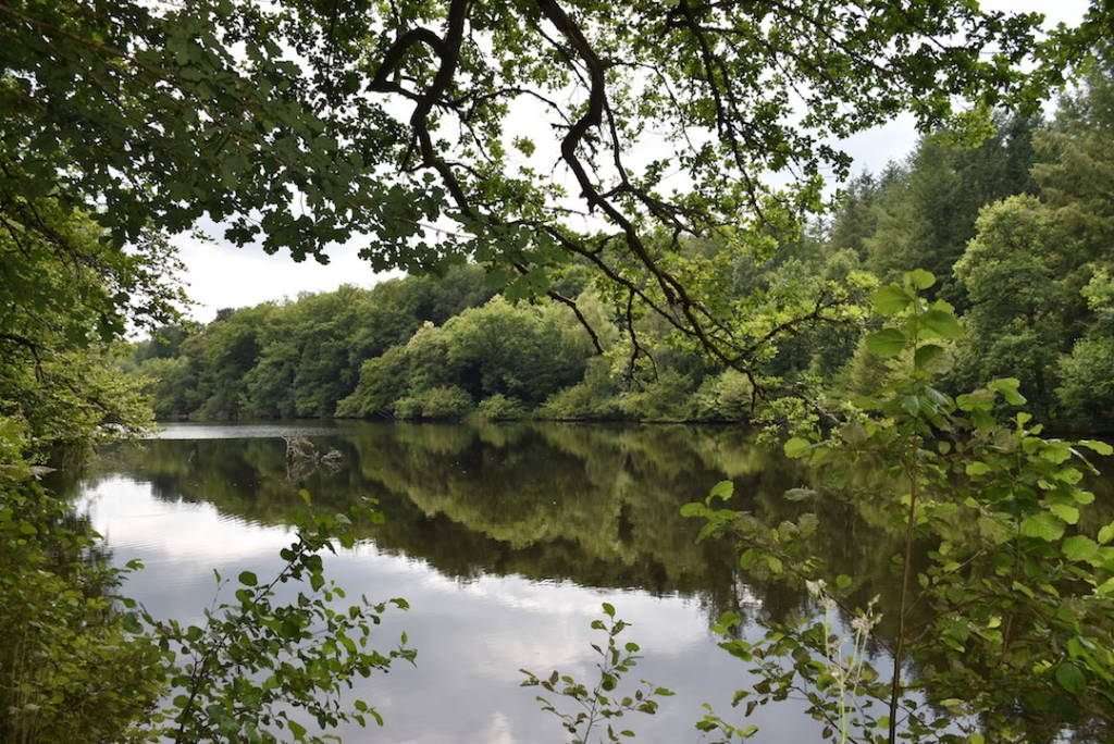
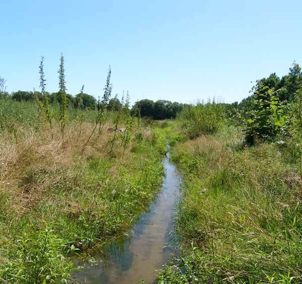
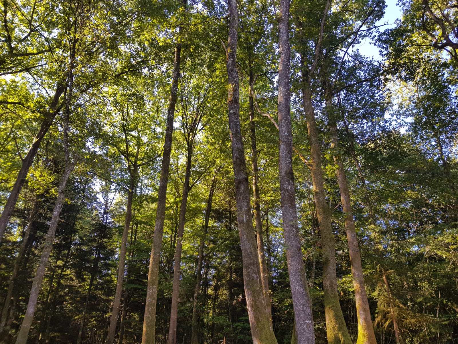
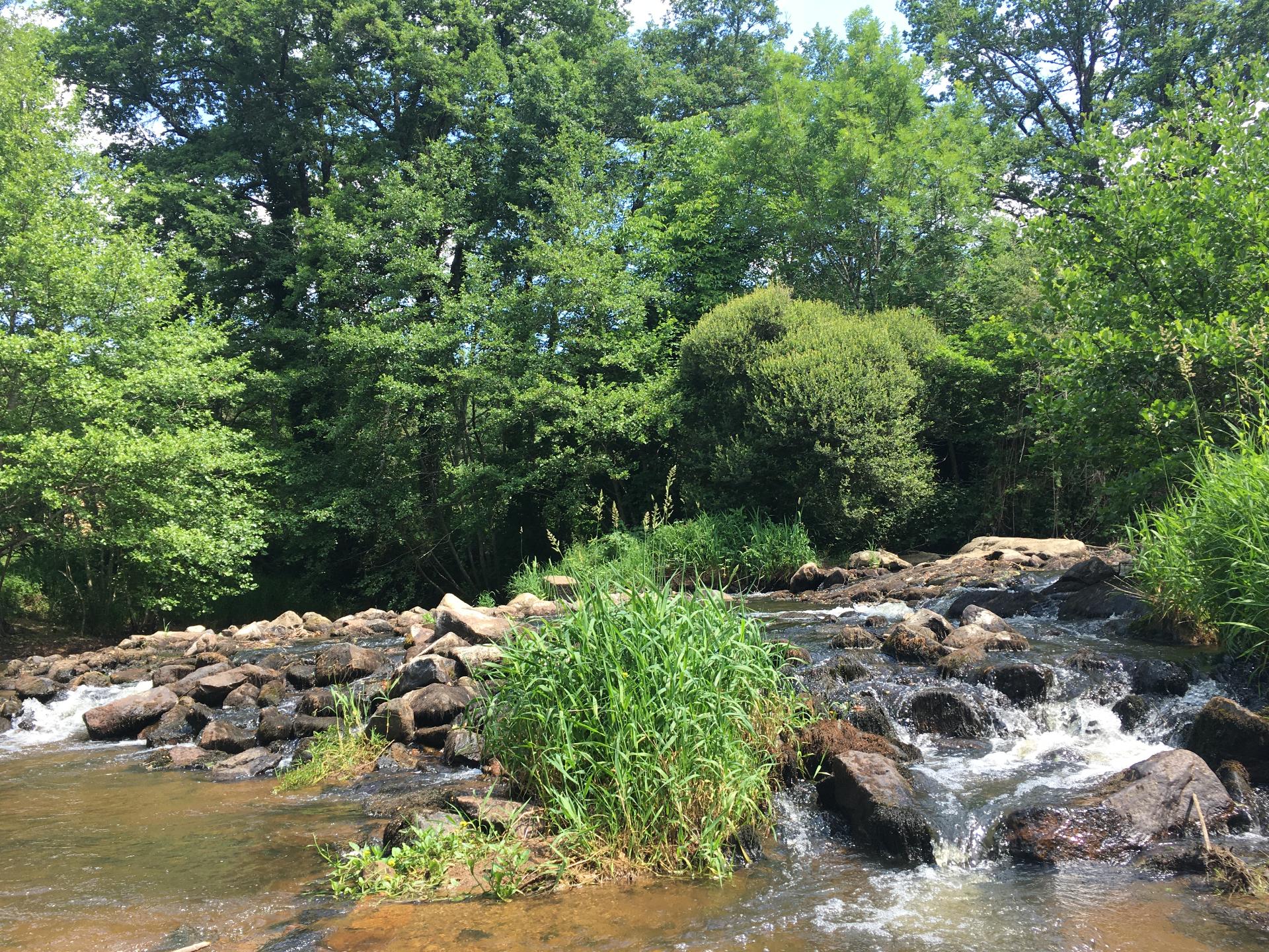
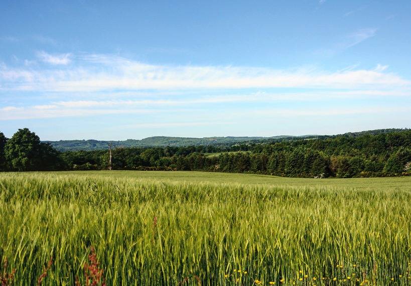
Departing from Maillofray, this beautiful walk takes place on the pretty paths of the heights of Blond. The route, alternating between meadows and undergrowth, offers very beautiful views, especially when the path reaches La Bachellerie.

Already more than 200,000 users!
Uphill
157m
Highest point
491m
Downhill
157m
Lowest point
347m
Route type
Loop
Download the map on your smartphone to save battery and rest assured to always keep access to the route, even without signal.
Includes IGN France and Swisstopo.
I indicate whether dogs are allowed or prohibited on this trail
All year
0 ratings
Also enjoy:

Already more than 200,000 users!