Uphill
127m
Length
6km
Duration
1h30min
Elev gain
127m
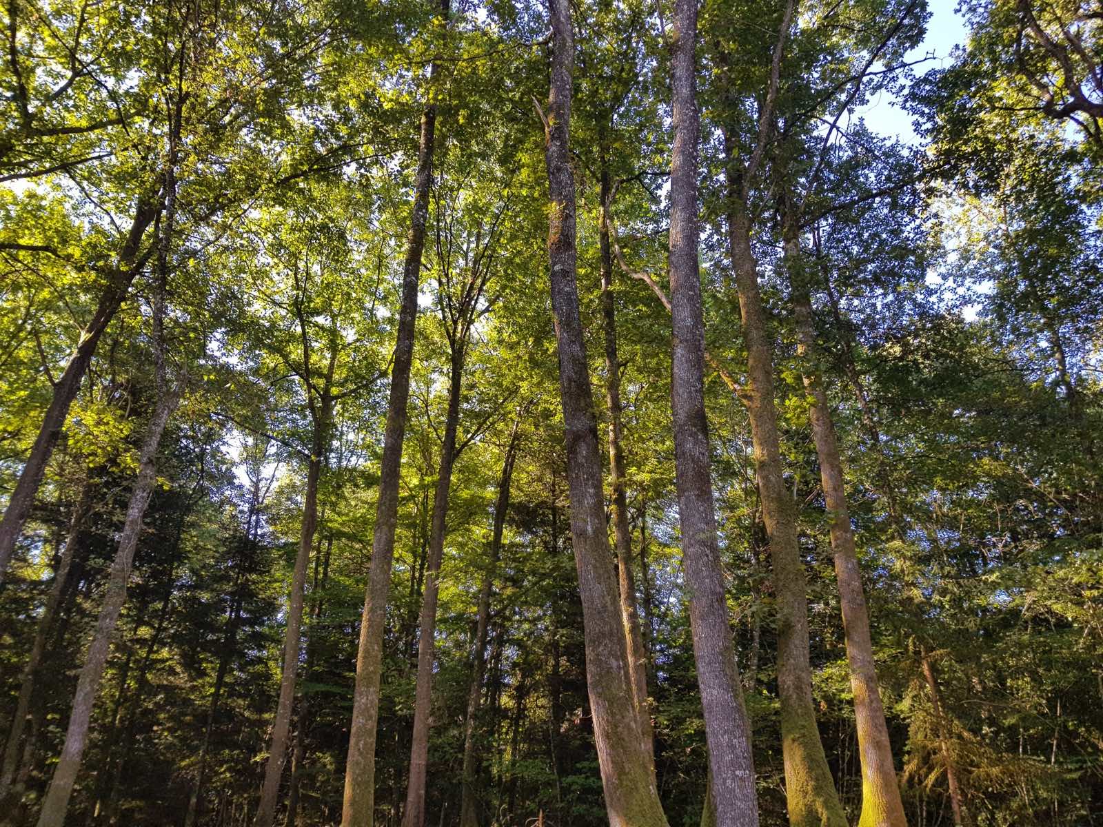
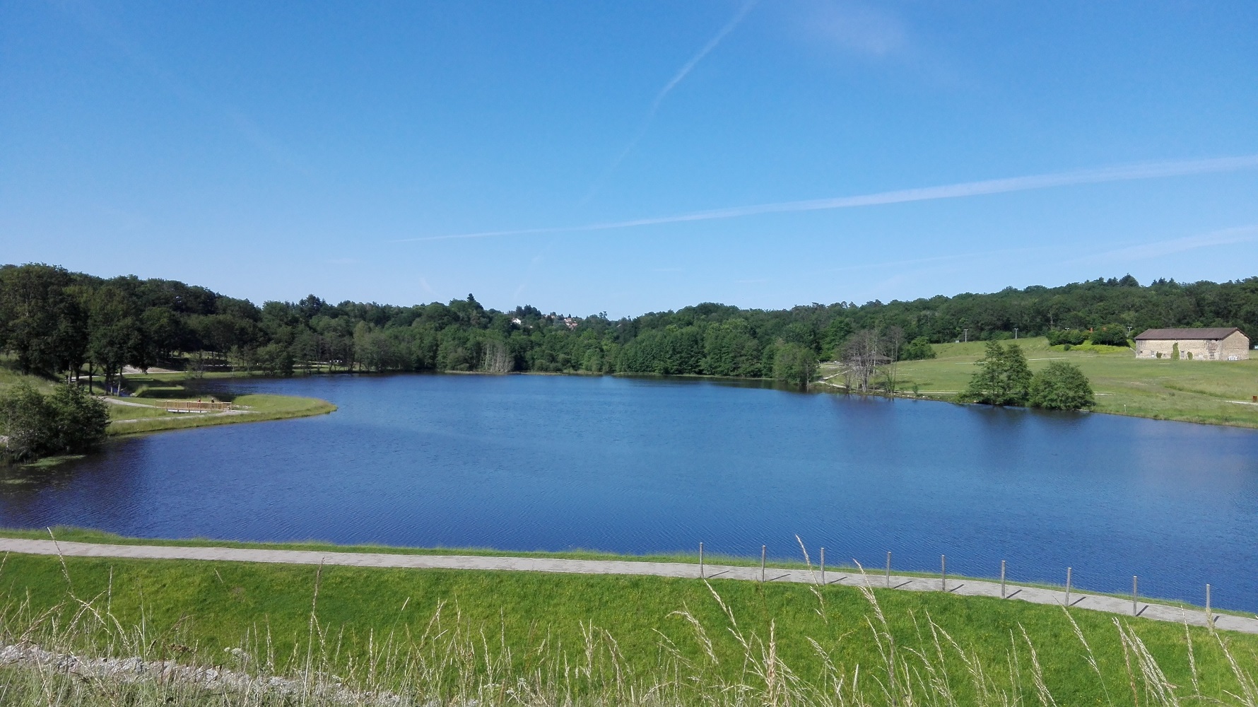
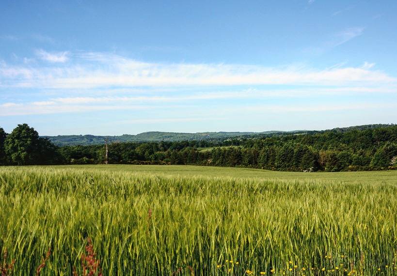
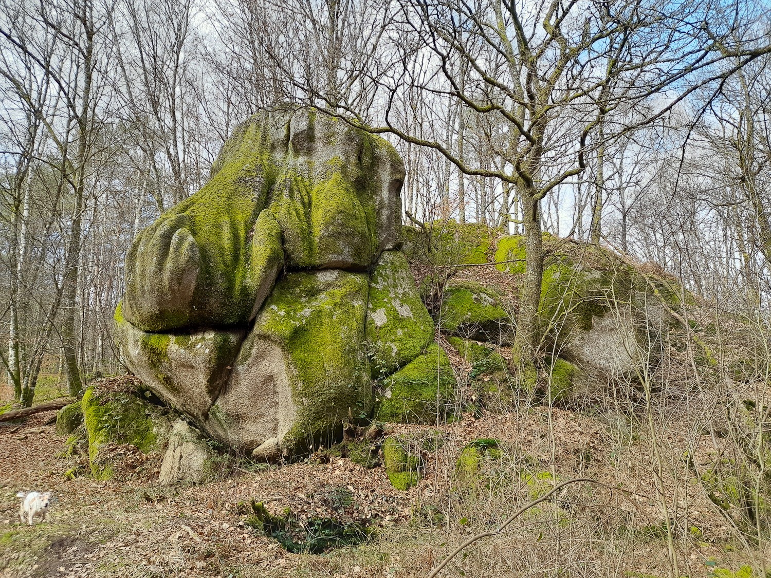
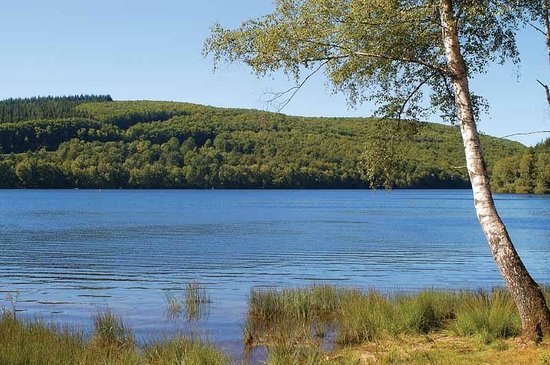
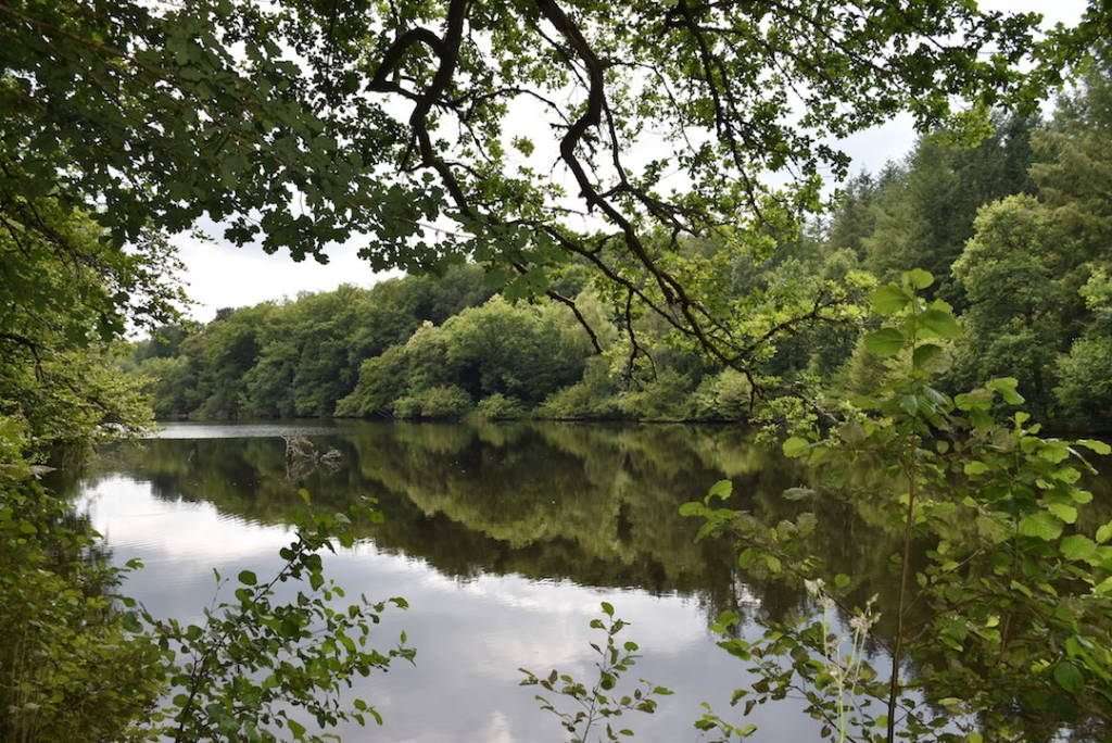
Here is a nice walk near Limoges, around the ponds of Saint-Gence. The route makes a loop around several bodies of water, including that of Puy Boursaud, and offers beautiful views of the surroundings.

Already more than 200,000 users!
Uphill
127m
Highest point
359m
Downhill
127m
Lowest point
284m
Route type
Loop
Download the map on your smartphone to save battery and rest assured to always keep access to the route, even without signal.
Includes IGN France and Swisstopo.
I indicate whether dogs are allowed or prohibited on this trail
All year
2 ratings
Also enjoy:

Already more than 200,000 users!