Uphill
13m
Length
1km
Duration
30min
Elev gain
13m
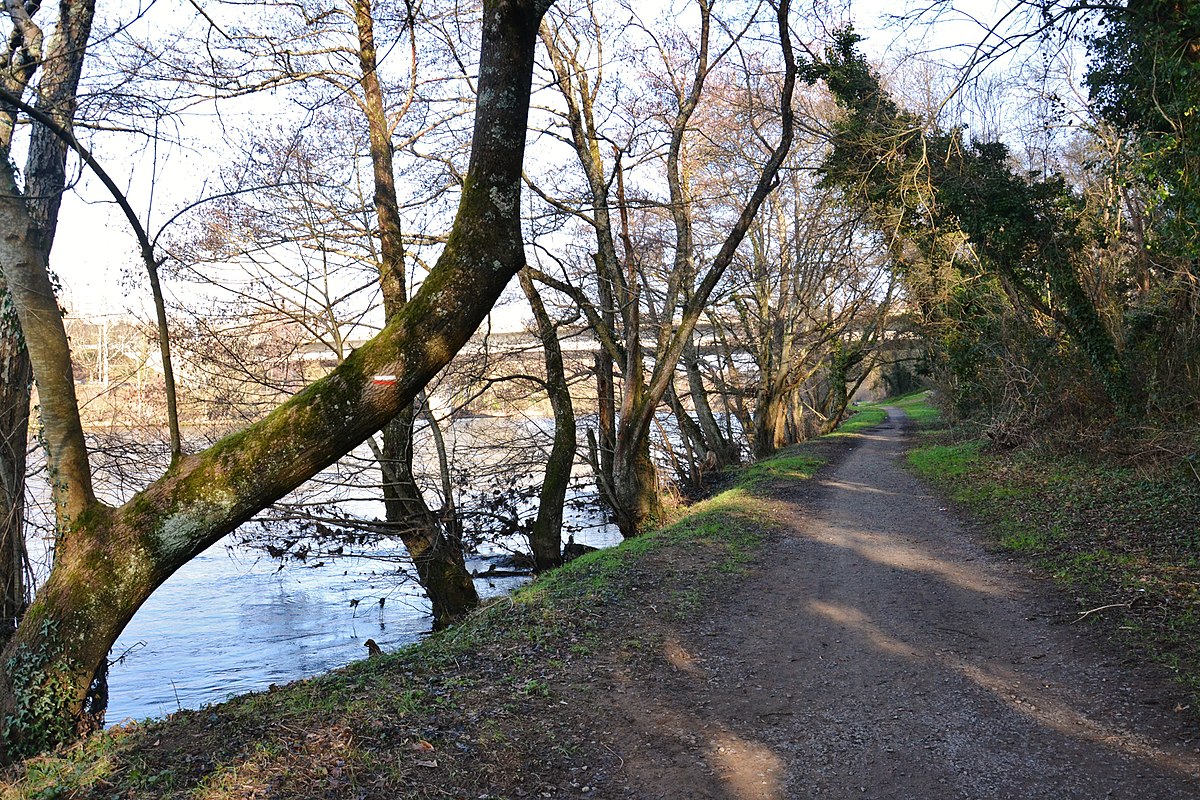
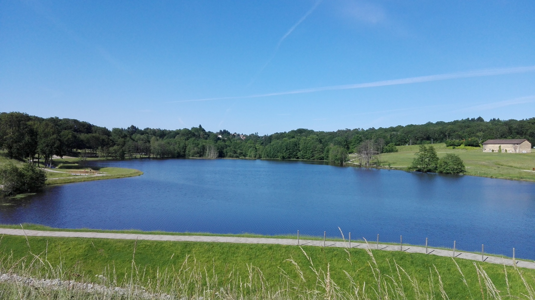
Family outing at the gates of Limoges. The course goes around the small lake of Uzurat, close to a shopping area, but still in a green setting.

Already more than 200,000 users!
Uphill
13m
Highest point
304m
Downhill
13m
Lowest point
288m
Route type
Loop
Download the map on your smartphone to save battery and rest assured to always keep access to the route, even without signal.
Includes IGN France and Swisstopo.
1 rating
Also enjoy:

Already more than 200,000 users!