Uphill
29m
Length
9km
Duration
2h30min
Elev gain
29m
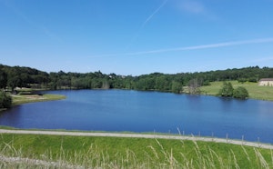
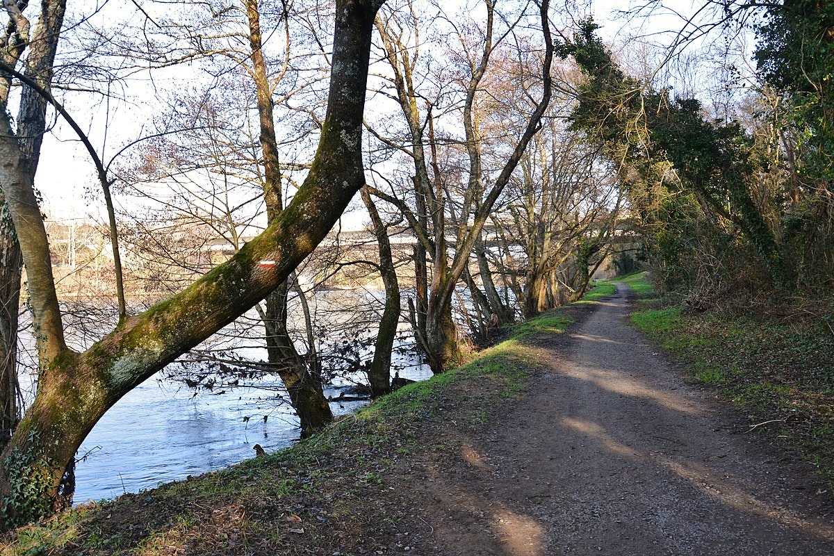
Nice walk on the side of Panazol, near Limoges. This round trip takes place on the banks of the Vienne, along meadows and undergrowth.

Already more than 200,000 users!
Uphill
29m
Highest point
239m
Downhill
29m
Lowest point
219m
Route type
There and back
Download the map on your smartphone to save battery and rest assured to always keep access to the route, even without signal.
Includes IGN France and Swisstopo.
I indicate whether dogs are allowed or prohibited on this trail
All year
1 rating
Also enjoy:

Already more than 200,000 users!