Uphill
117m

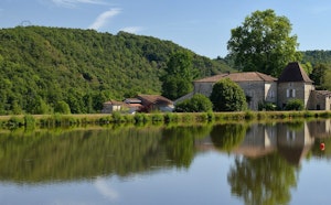
France > Nouvelle-Aquitaine > Dordogne > Périgord-Limousin Nature Park
Length
4km
Duration
1h30min
Elev gain
117m
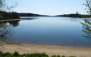
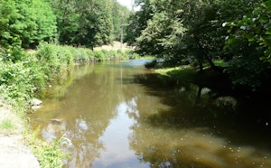
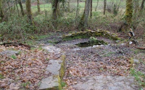
Trail along the Dronne before arriving at a small waterfall, which has been the subject of several local legends.

Already more than 200,000 users!
Uphill
117m
Highest point
293m
Downhill
117m
Lowest point
169m
Route type
Loop
Download the map on your smartphone to save battery and rest assured to always keep access to the route, even without signal.
Includes IGN France and Swisstopo.
I indicate whether dogs are allowed or prohibited on this trail
All year
3 ratings
Also enjoy:

Already more than 200,000 users!