Uphill
308m
Length
10km
Duration
3h
Elev gain
308m
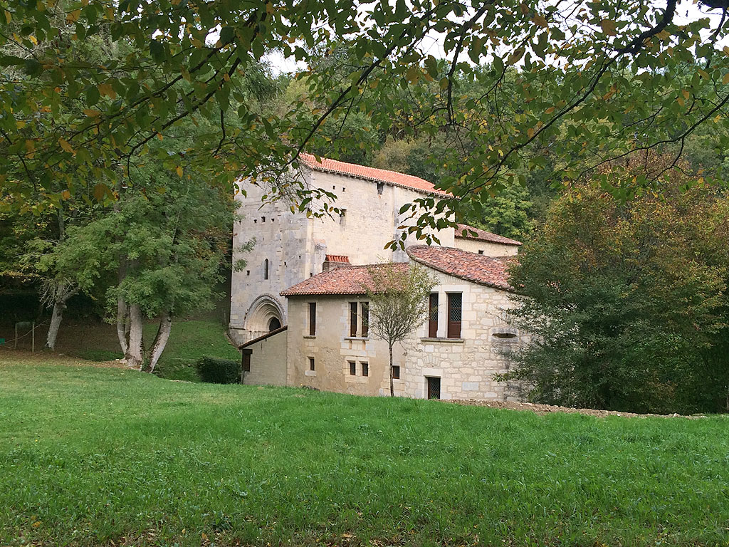
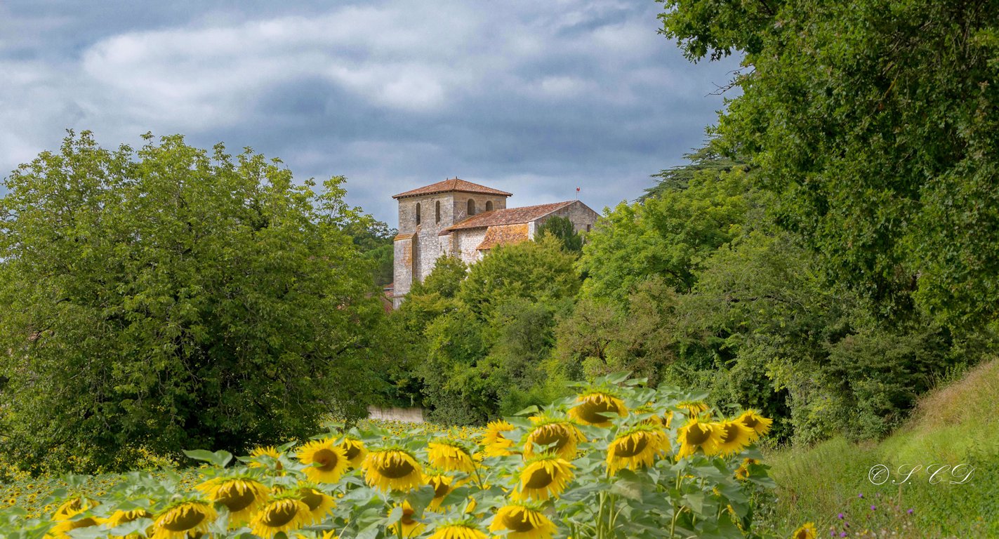
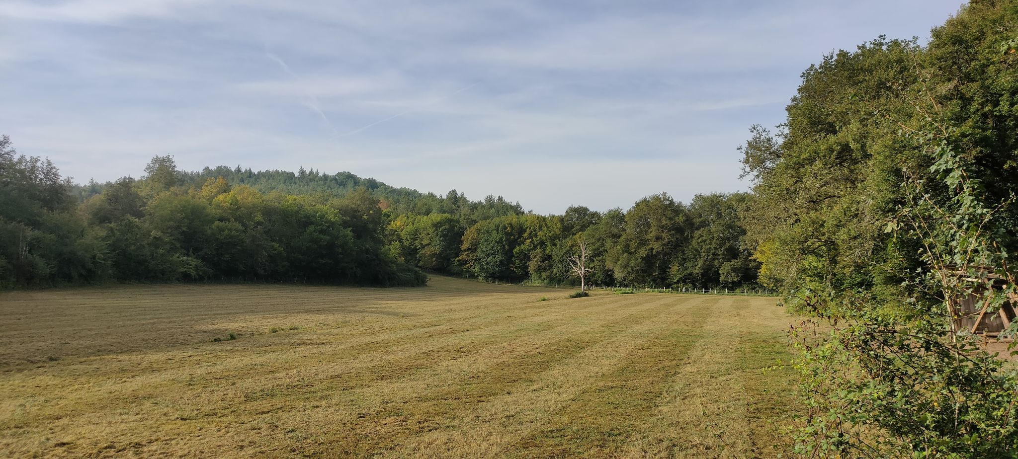
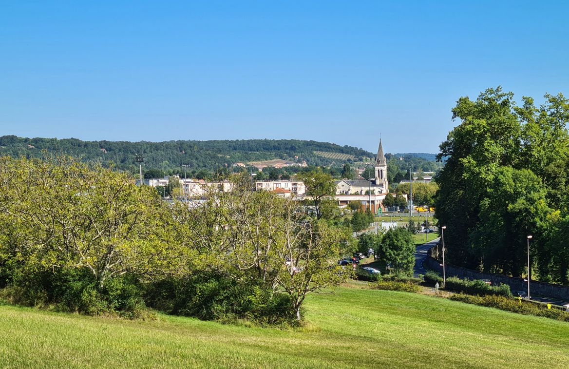
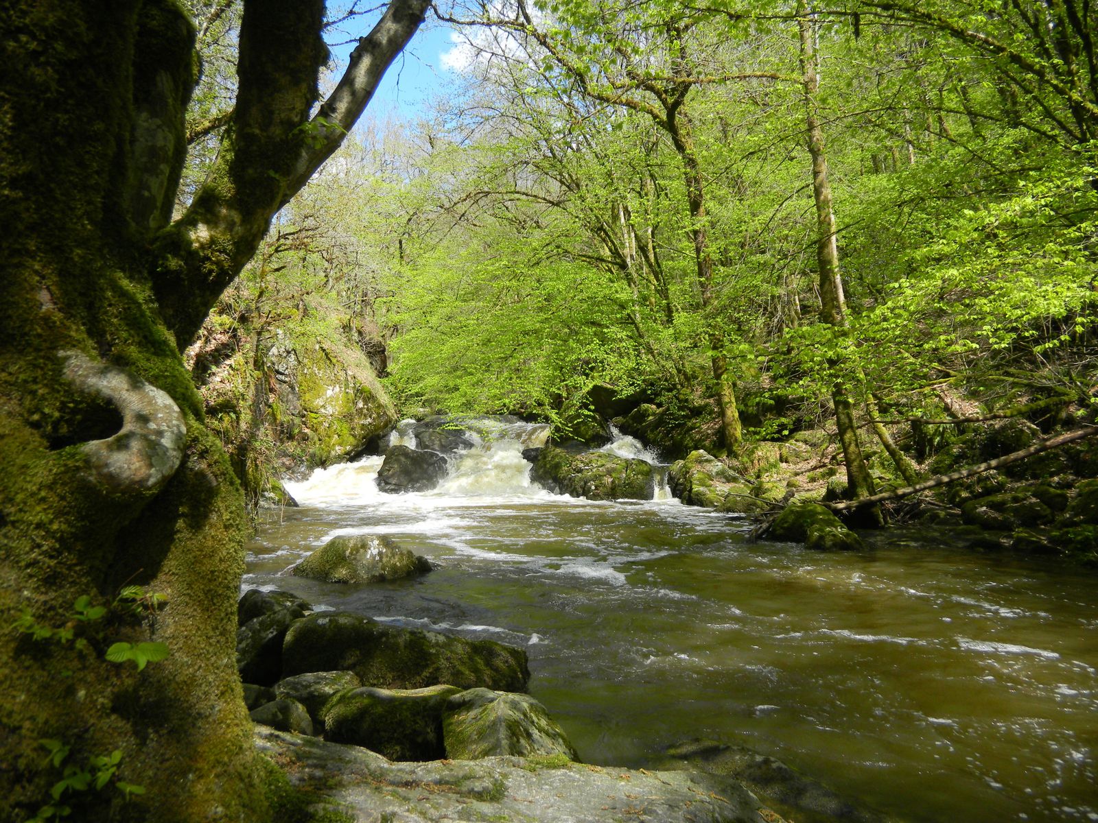
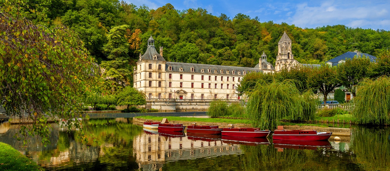
This loop hike begins in what is frequently called the Venice of Périgord, on the banks of the Dronne. It then continues mainly in the forest.

Already more than 200,000 users!
Uphill
308m
Highest point
184m
Downhill
308m
Lowest point
87m
Route type
Loop
Download the map on your smartphone to save battery and rest assured to always keep access to the route, even without signal.
Includes IGN France and Swisstopo.
I indicate whether dogs are allowed or prohibited on this trail
All year
0 ratings
Also enjoy:

Already more than 200,000 users!