Uphill
213m
Length
10km
Duration
3h
Elev gain
213m
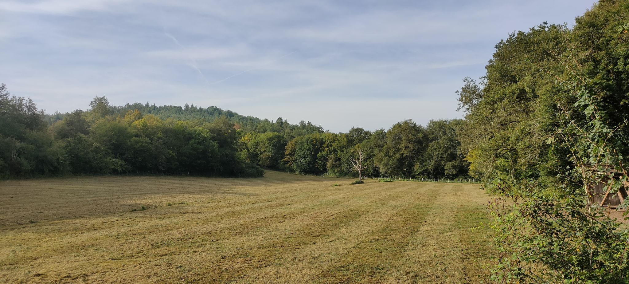
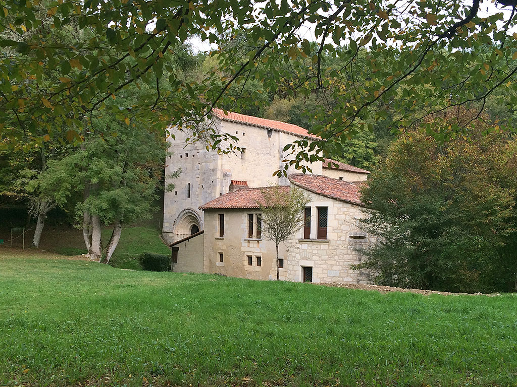
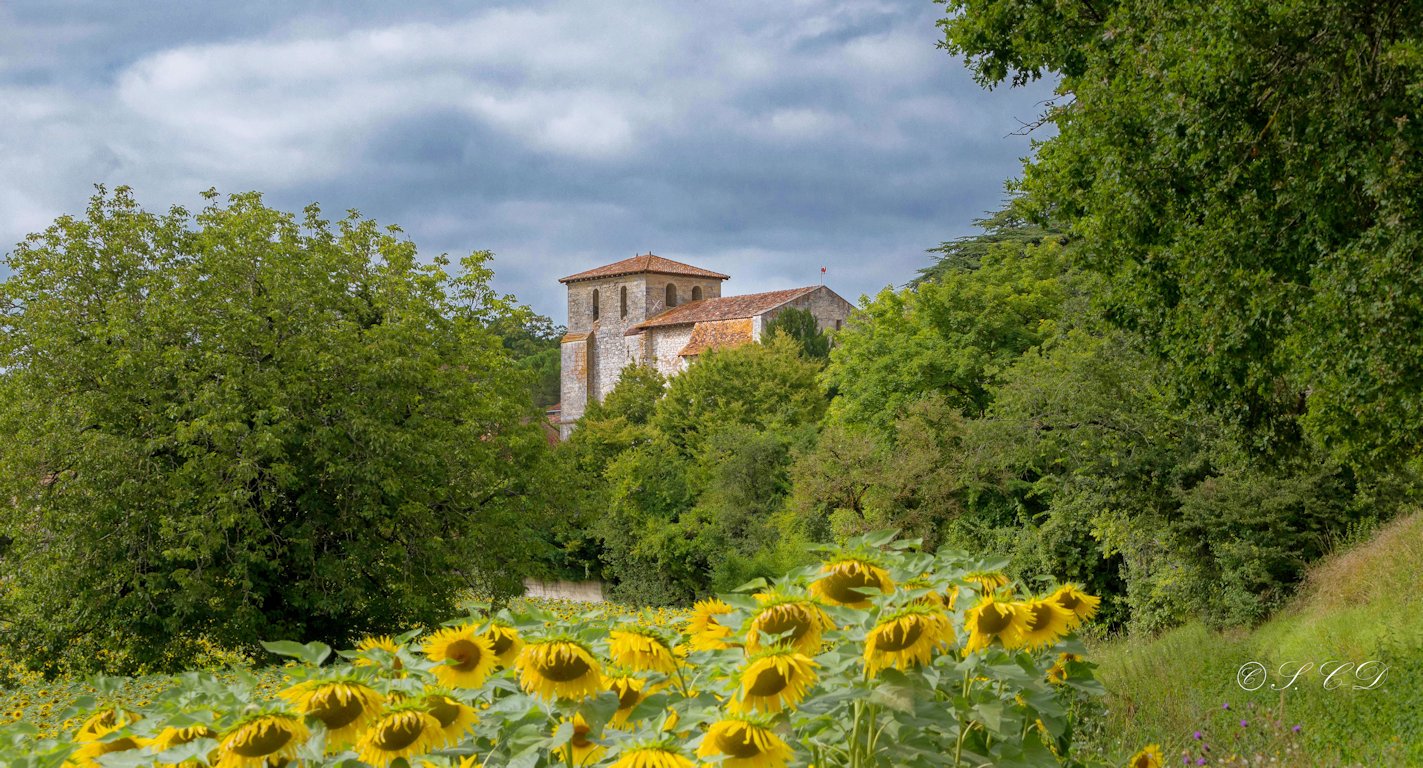
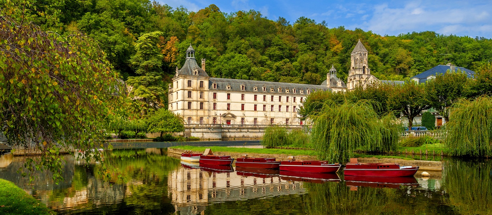
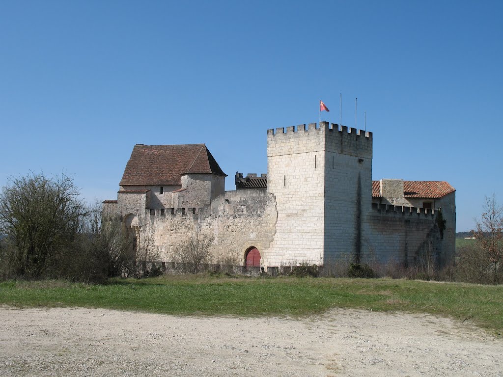
Here is a marked path at the gates of Périgueux. This course takes place in a pleasant setting, between castle, fountains, valleys and undergrowth. It's very varied, and that's the charm of this hike.
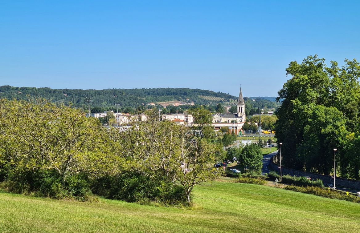
Note however that almost half of the walk is on paved roads.

Already more than 200,000 users!
Uphill
213m
Highest point
220m
Downhill
213m
Lowest point
78m
Route type
Loop
Download the map on your smartphone to save battery and rest assured to always keep access to the route, even without signal.
Includes IGN France and Swisstopo.
I indicate whether dogs are allowed or prohibited on this trail
All year
0 ratings
Also enjoy:

Already more than 200,000 users!