Uphill
292m
Length
12km
Duration
4h
Elev gain
292m
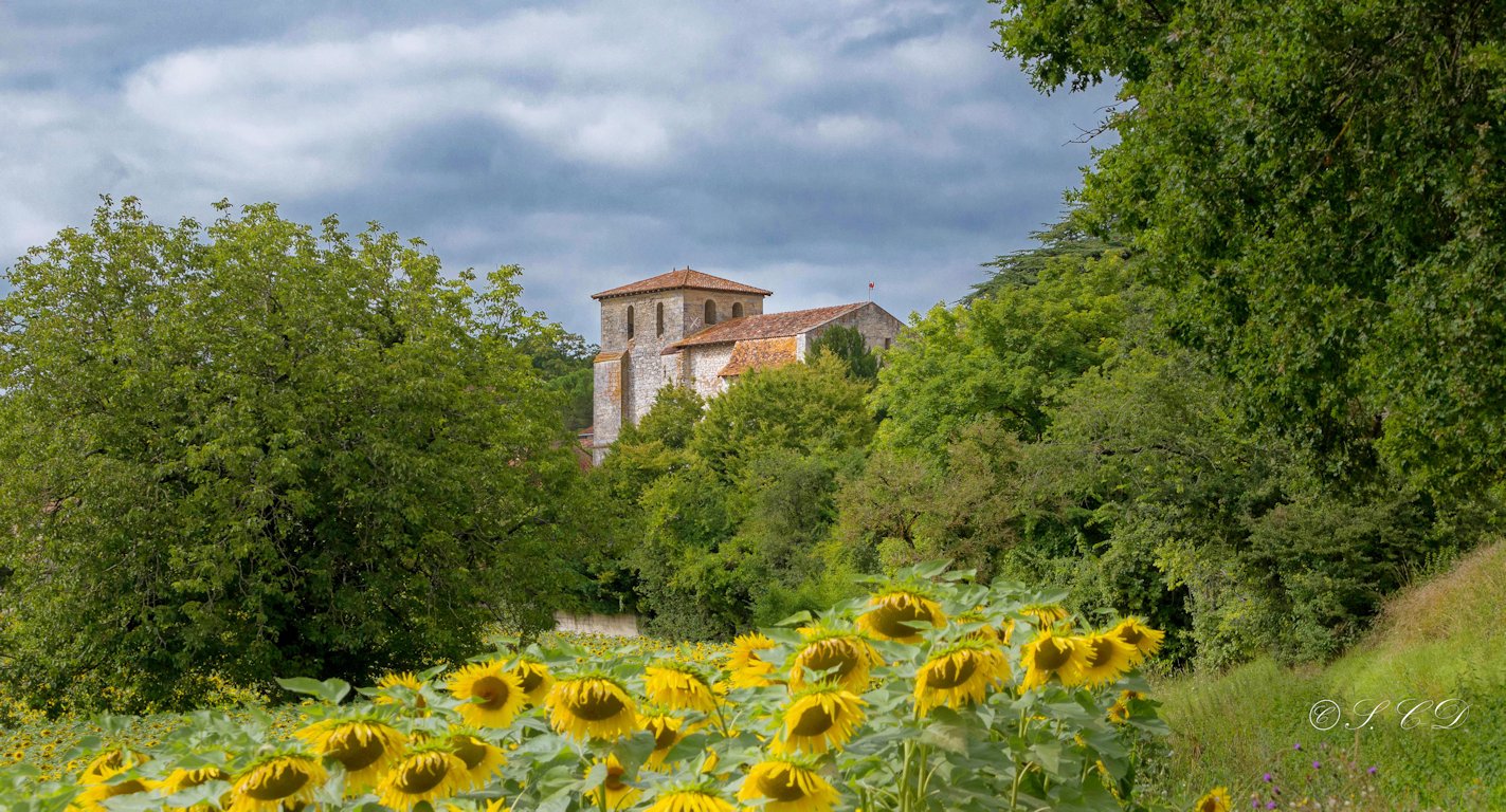
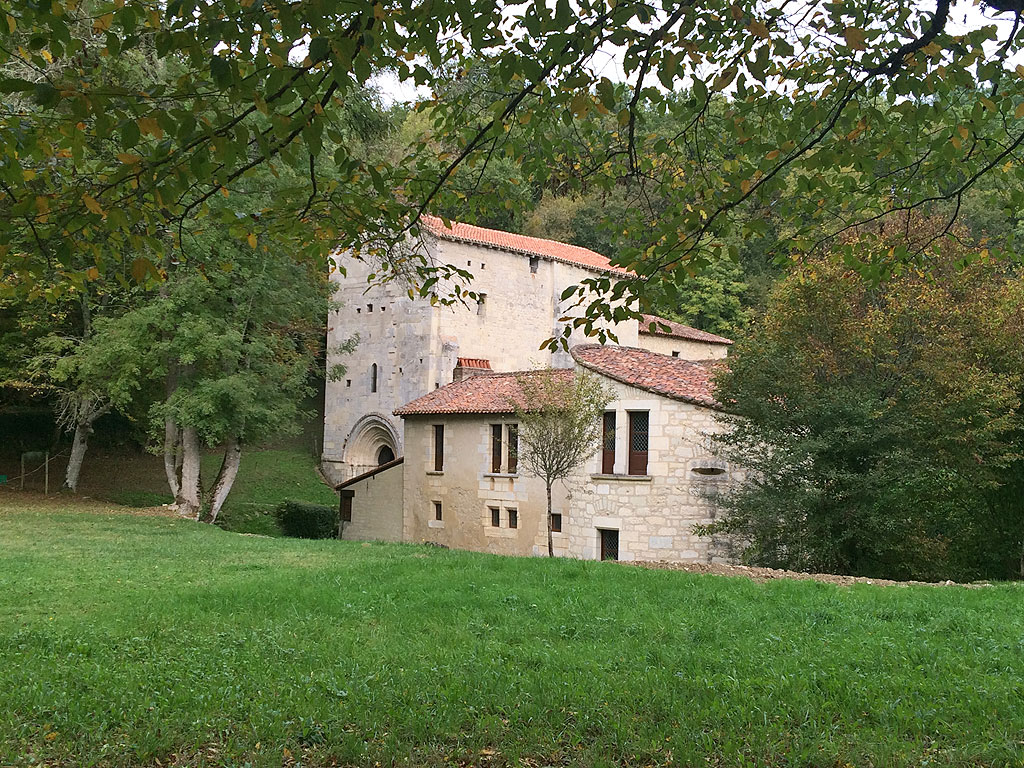
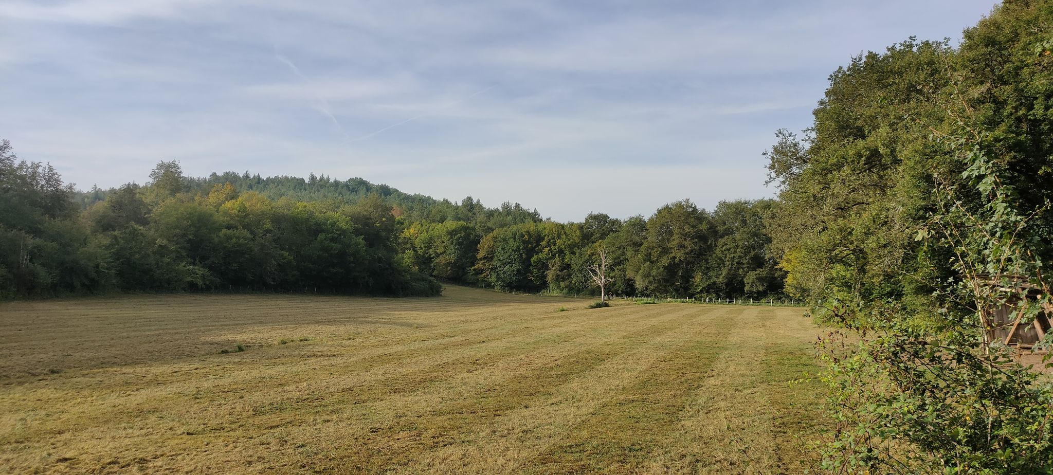
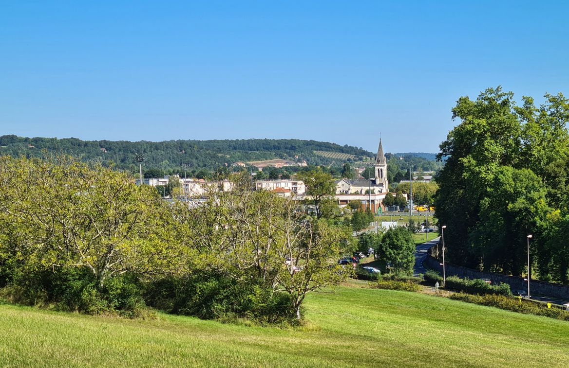
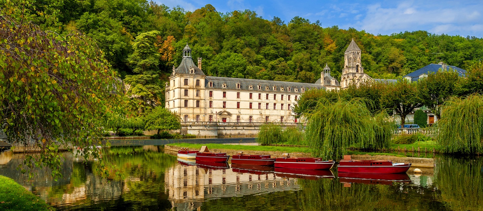
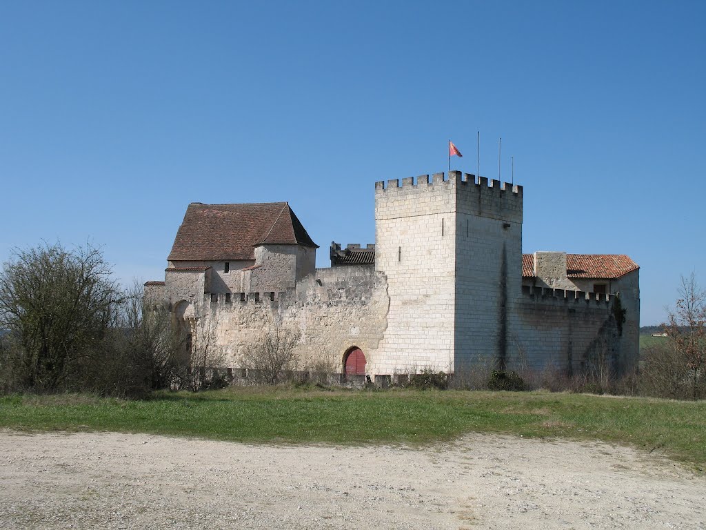
Beautiful loop mixing local heritage, pretty landscapes and wooded paths. After starting in Grignols, the path passes next to the castle and continues between fields, forest and valley. Views of the castle are plentiful and there are a few fruit trees in the way.

Already more than 200,000 users!
Uphill
292m
Highest point
203m
Downhill
292m
Lowest point
56m
Route type
Loop
Download the map on your smartphone to save battery and rest assured to always keep access to the route, even without signal.
Includes IGN France and Swisstopo.
I indicate whether dogs are allowed or prohibited on this trail
All year
0 ratings
Also enjoy:

Already more than 200,000 users!