Uphill
378m
France > Nouvelle-Aquitaine > Dordogne > Périgord-Limousin Nature Park
Length
14km
Duration
4h30min
Elev gain
378m
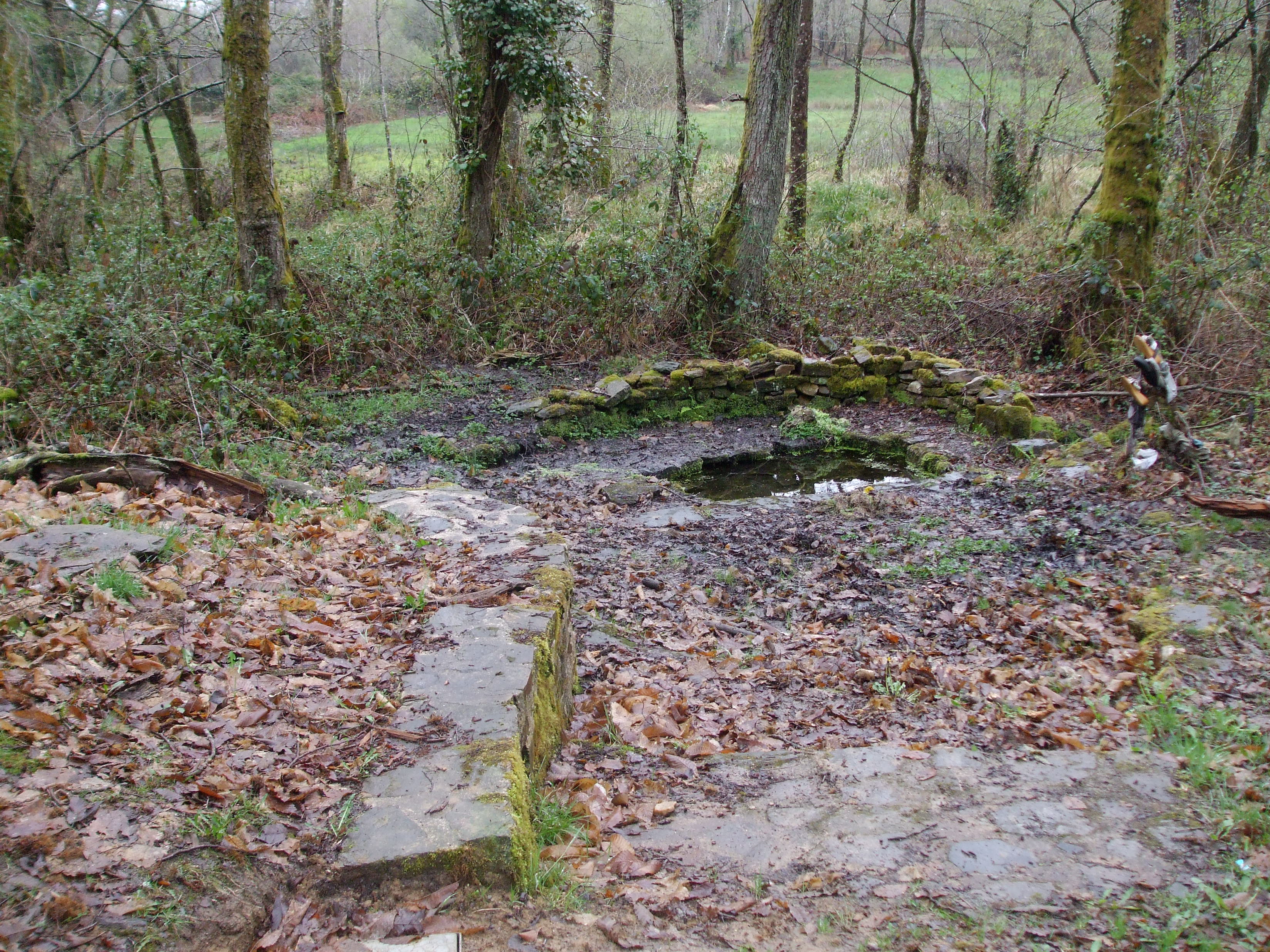
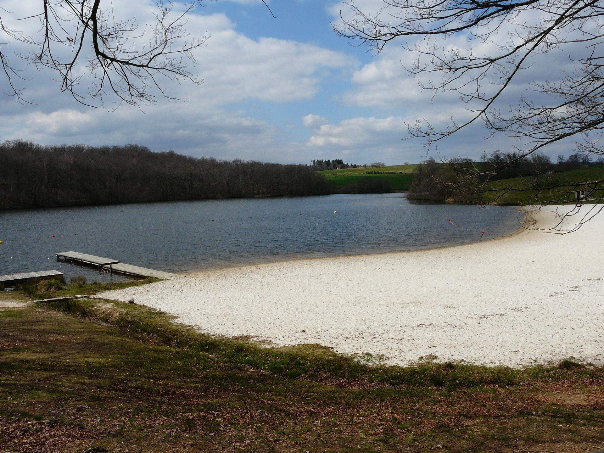
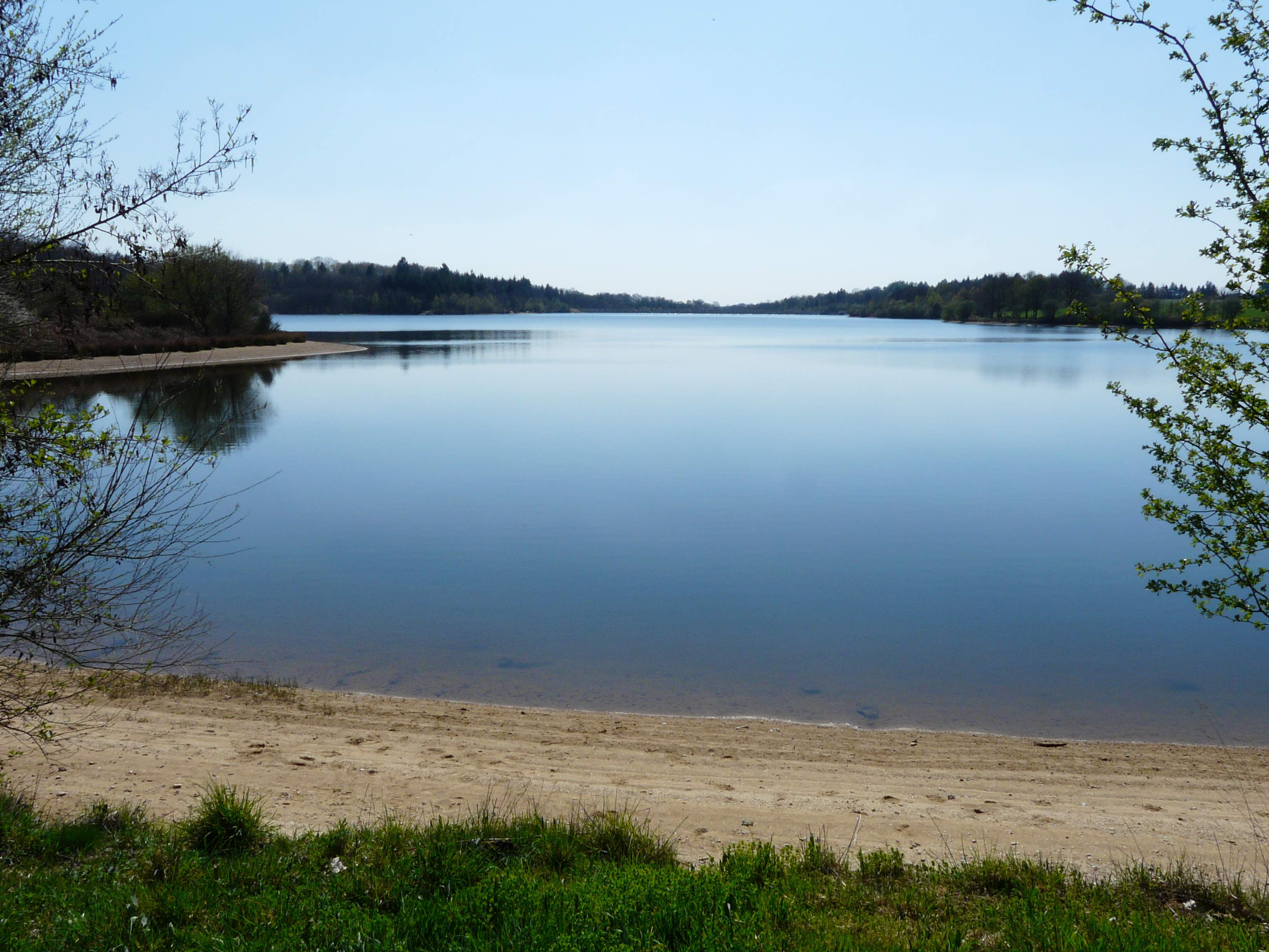
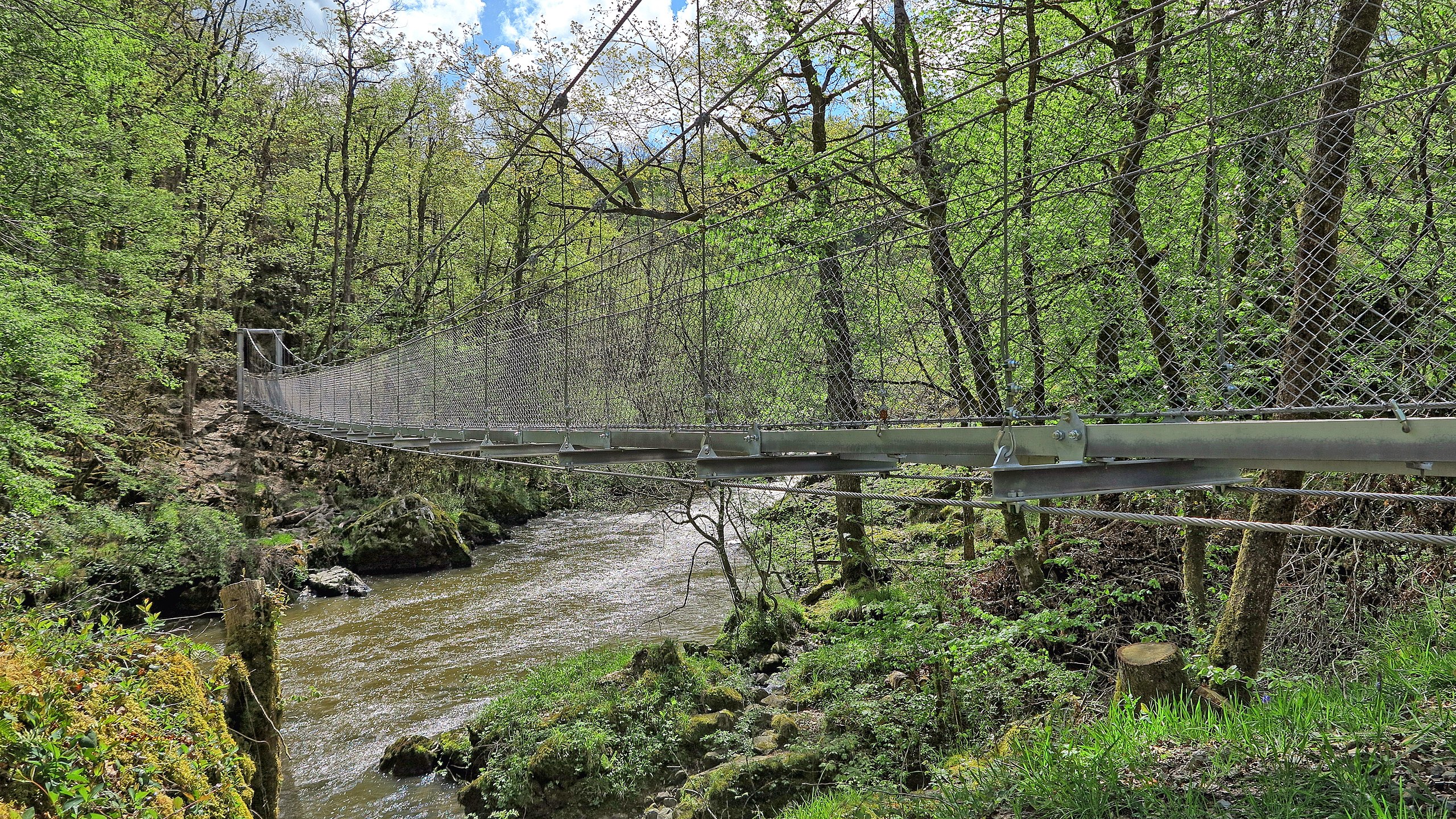
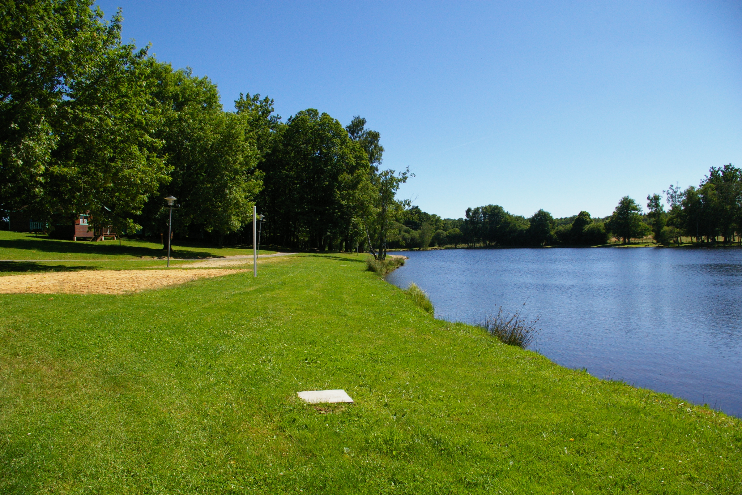
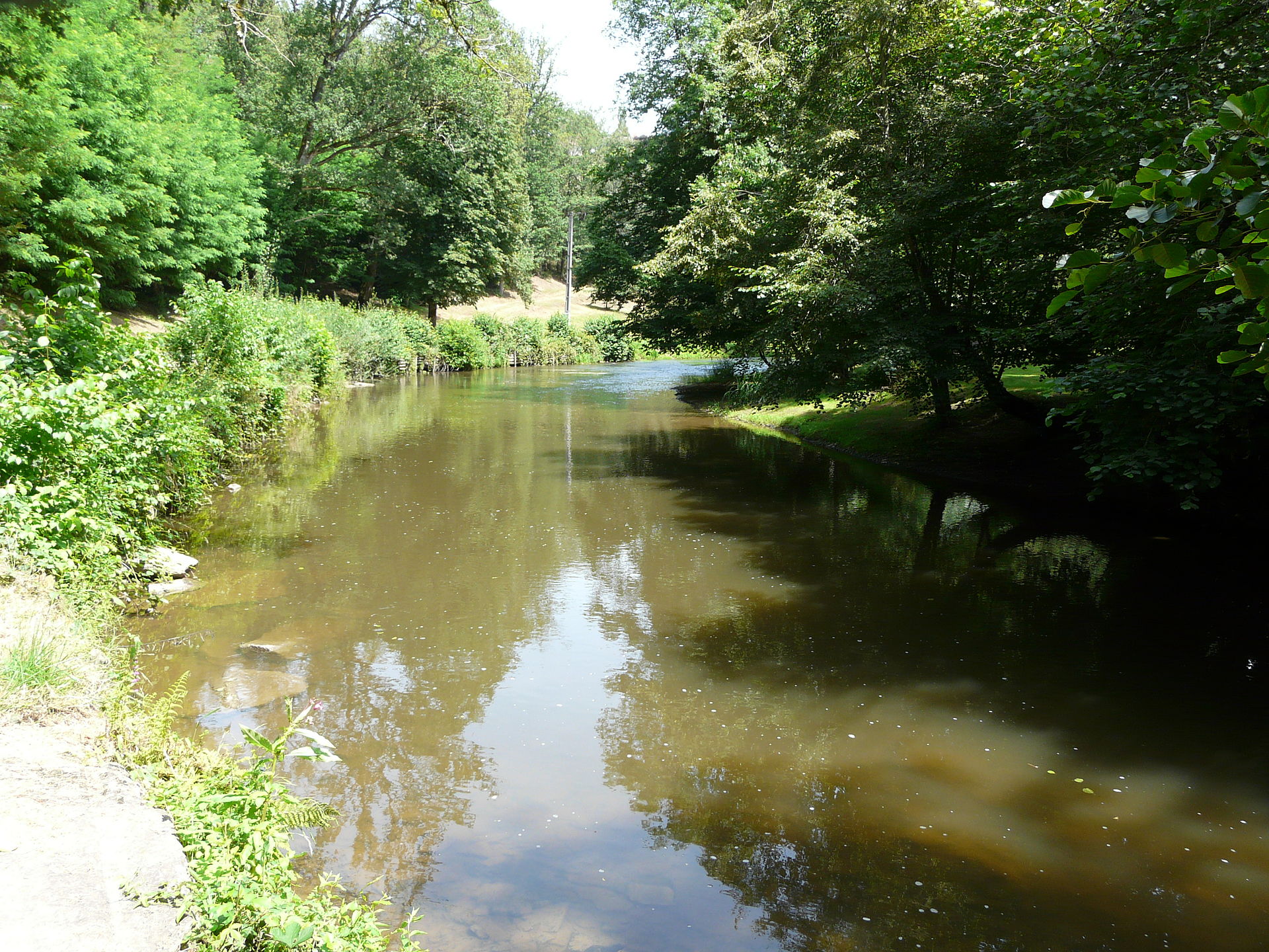
River, forests, ponds, hills, pastures ... The landscapes of this loop starting from Jumilhac are undoubtedly varied.

Already more than 200,000 users!
Uphill
378m
Highest point
347m
Downhill
378m
Lowest point
207m
Route type
Loop
Download the map on your smartphone to save battery and rest assured to always keep access to the route, even without signal.
Includes IGN France and Swisstopo.
I indicate whether dogs are allowed or prohibited on this trail
All year
1 rating
Also enjoy:

Already more than 200,000 users!