Uphill
162m
Length
3km
Duration
1h30min
Elev gain
162m
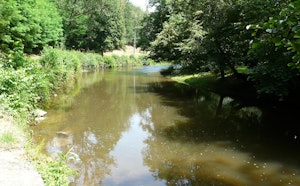
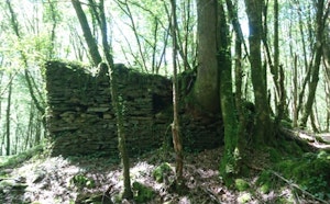
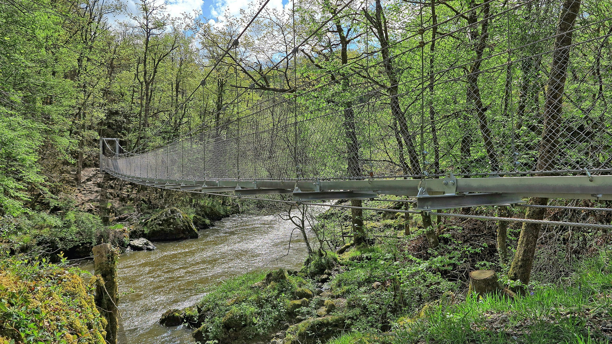
Departing from Saint-Mesmin, this trail presents varied landscapes between undergrowth, fields and hamlets. The crossing of the Auvézère is particularly pretty with its suspended footbridge.

Already more than 200,000 users!
Uphill
162m
Highest point
301m
Downhill
162m
Lowest point
209m
Route type
Loop
Download the map on your smartphone to save battery and rest assured to always keep access to the route, even without signal.
Includes IGN France and Swisstopo.
I indicate whether dogs are allowed or prohibited on this trail
All year
2 ratings
Also enjoy:

Already more than 200,000 users!