Uphill
140m
Length
7km
Duration
2h
Elev gain
140m
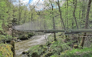
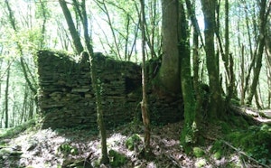
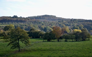
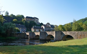
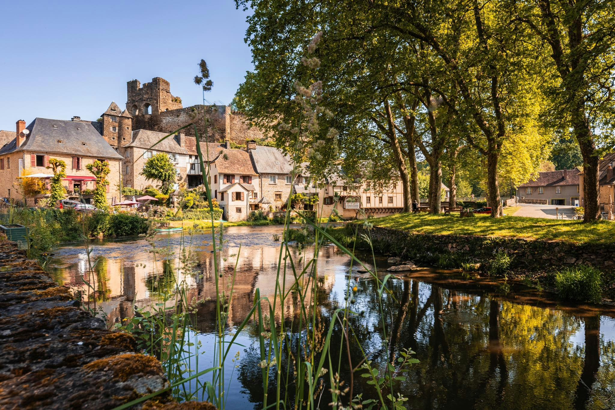
Departing from the village Ségur-le-Château, voted among the most beautiful in France, this hike makes a loop in the surrounding hamlets. From one hill to another, the route follows a footbridge spanning the river, paths through undergrowth, forests and plateaus.
The path thus offers beautiful views of the village, the countryside and the surrounding hamlets.

Already more than 200,000 users!
Uphill
140m
Highest point
351m
Downhill
140m
Lowest point
269m
Route type
Loop
Download the map on your smartphone to save battery and rest assured to always keep access to the route, even without signal.
Includes IGN France and Swisstopo.
I indicate whether dogs are allowed or prohibited on this trail
All year
1 rating
Also enjoy:

Already more than 200,000 users!