Uphill
143m
Length
3km
Duration
1h
Elev gain
143m
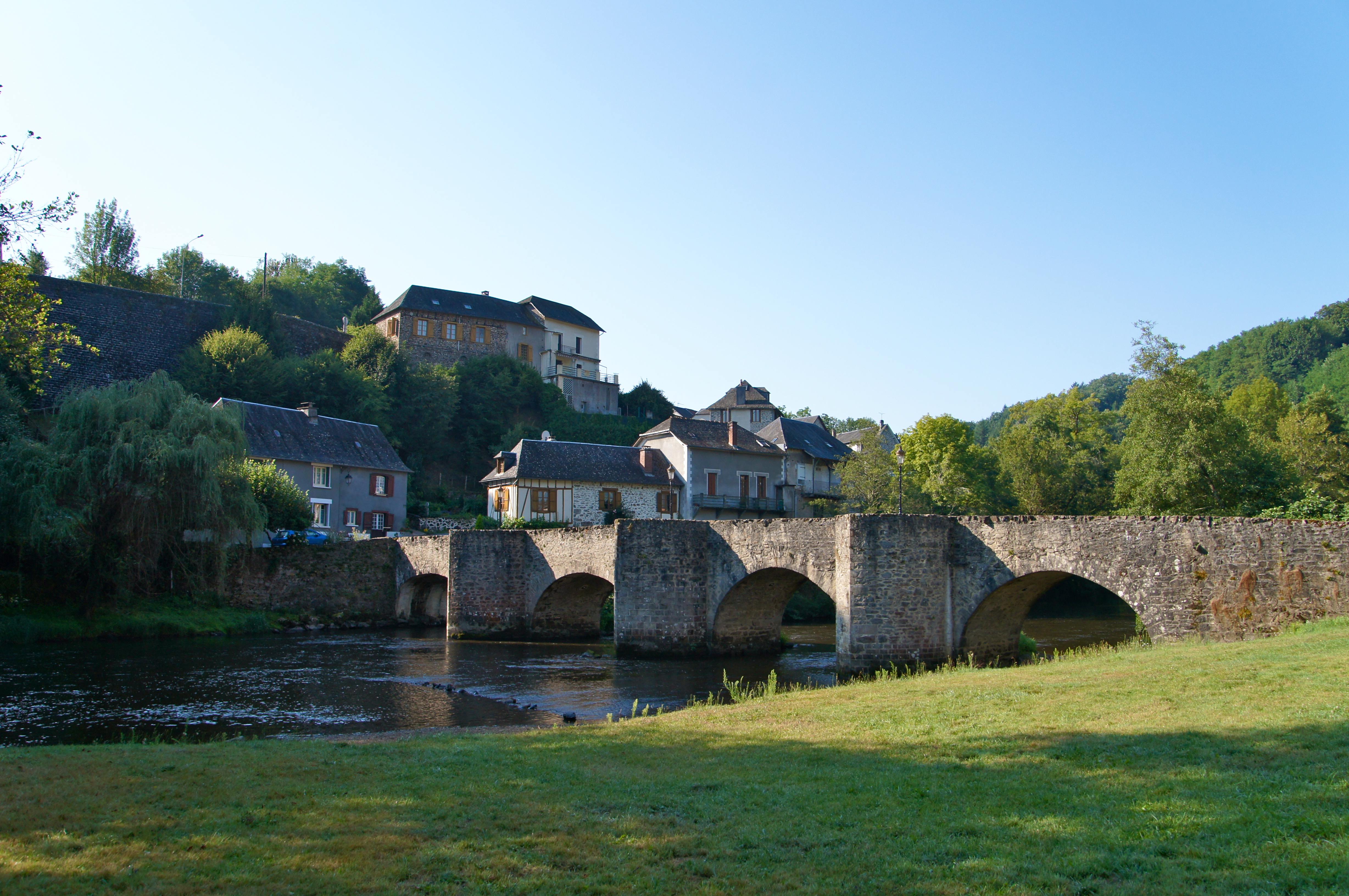
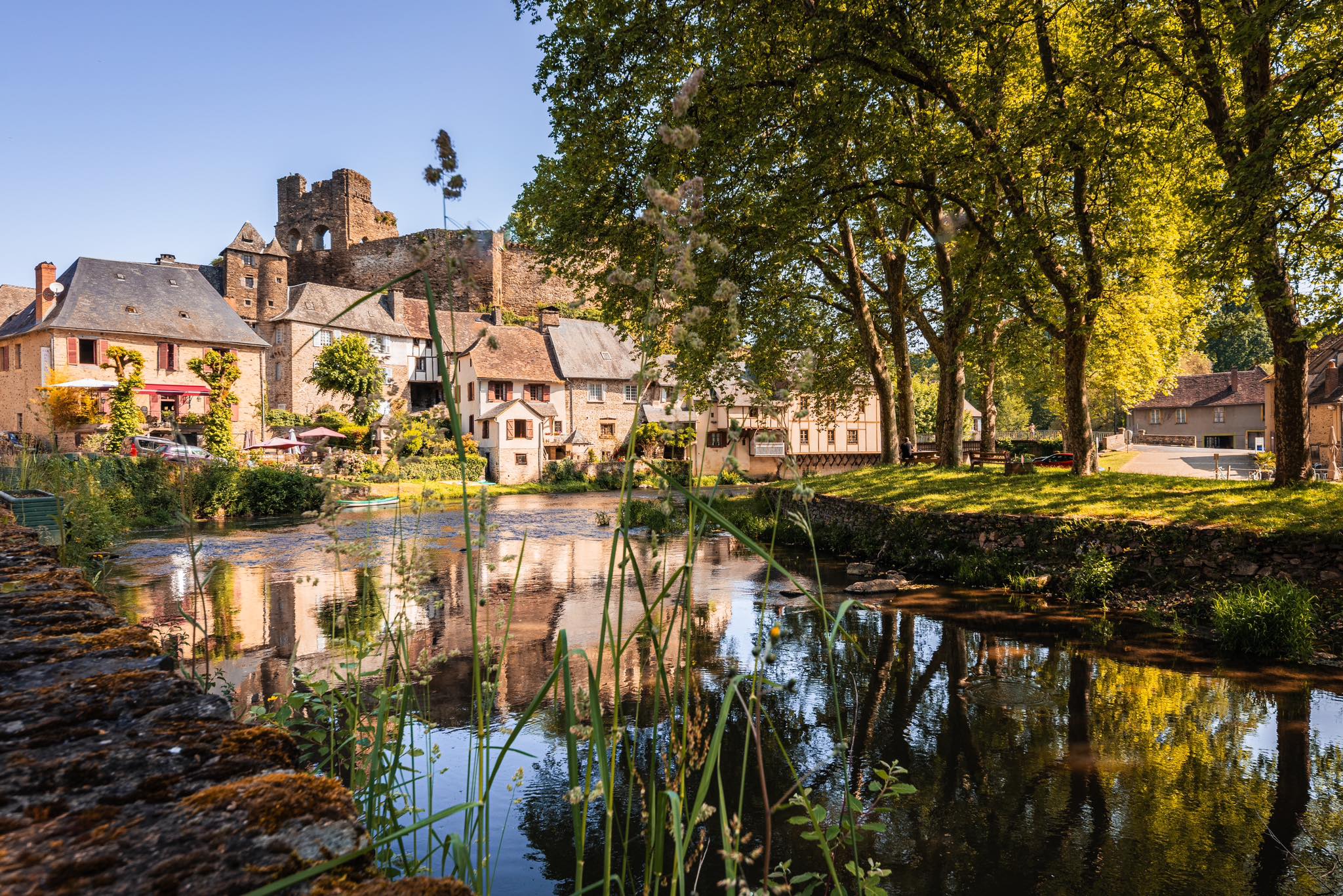
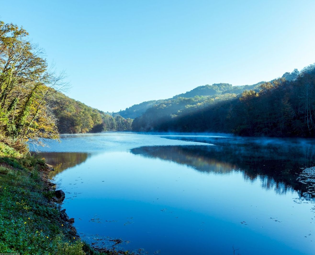
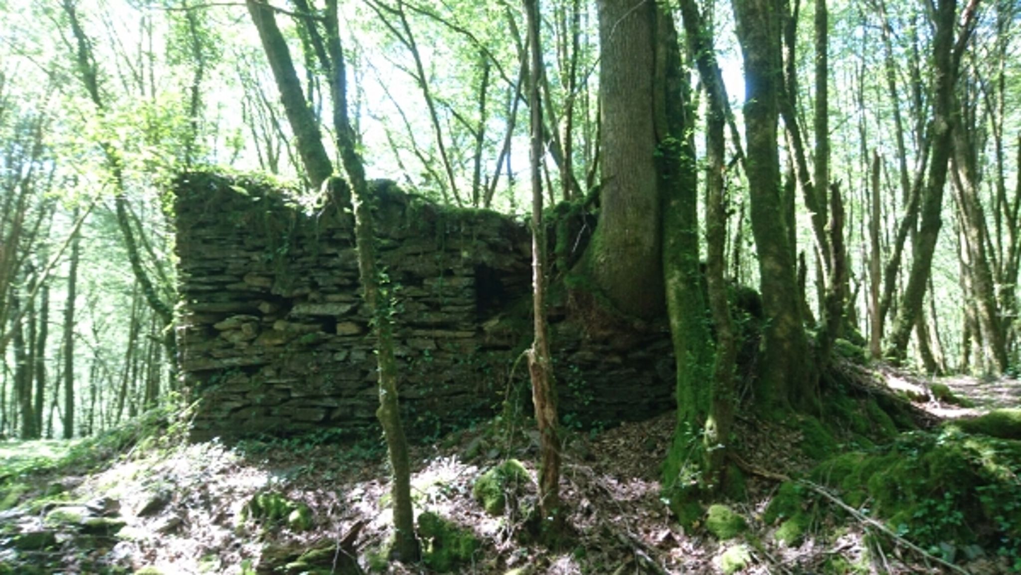
Nice little walk to discover the ruins of Patel. The route makes a loop in the forest and winds around the Loyre.

Already more than 200,000 users!
Uphill
143m
Highest point
268m
Downhill
143m
Lowest point
172m
Route type
Loop
Download the map on your smartphone to save battery and rest assured to always keep access to the route, even without signal.
Includes IGN France and Swisstopo.
I indicate whether dogs are allowed or prohibited on this trail
All year
1 rating
Also enjoy:

Already more than 200,000 users!