Uphill
98m
Length
3km
Duration
1h
Elev gain
98m
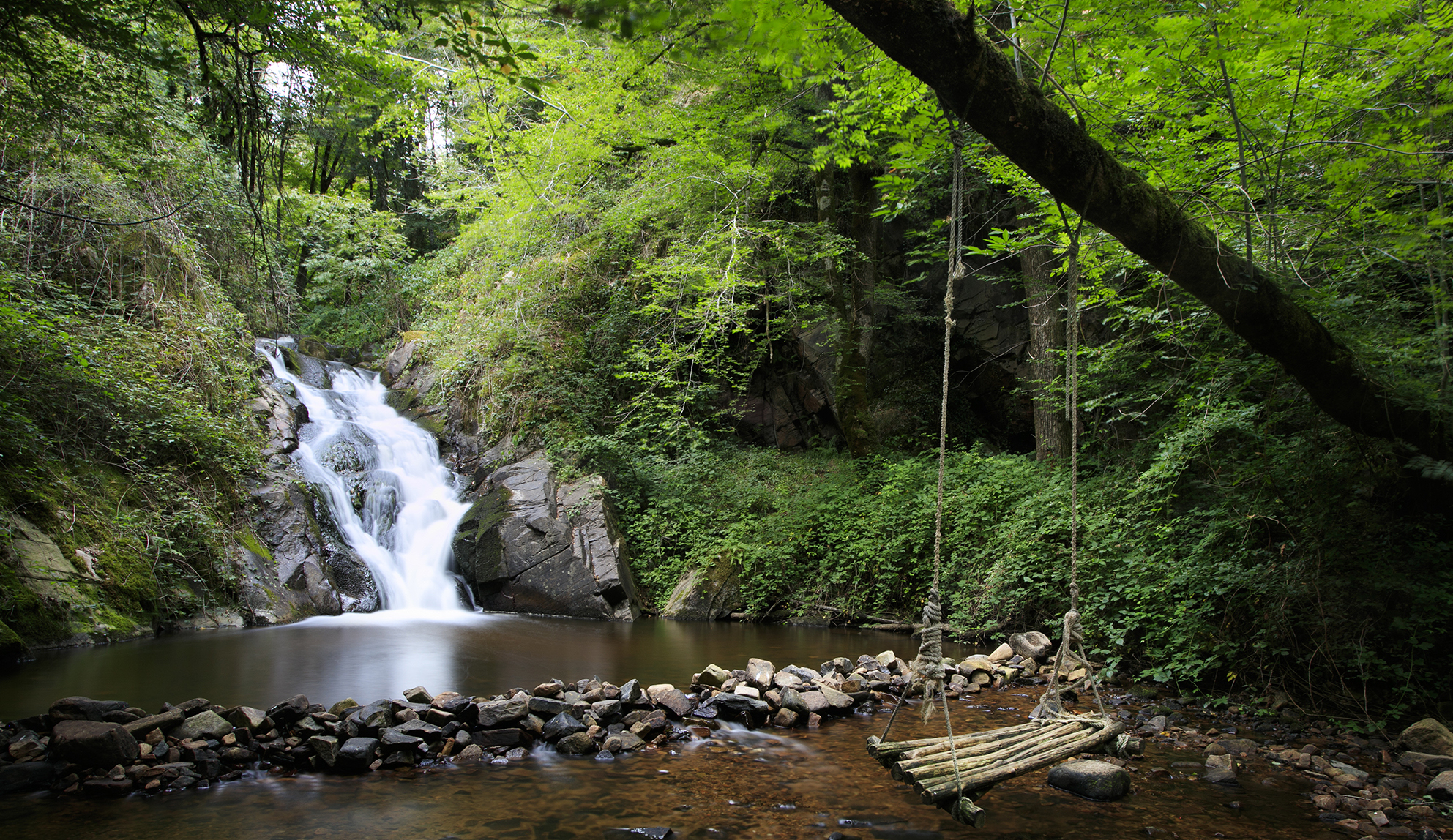
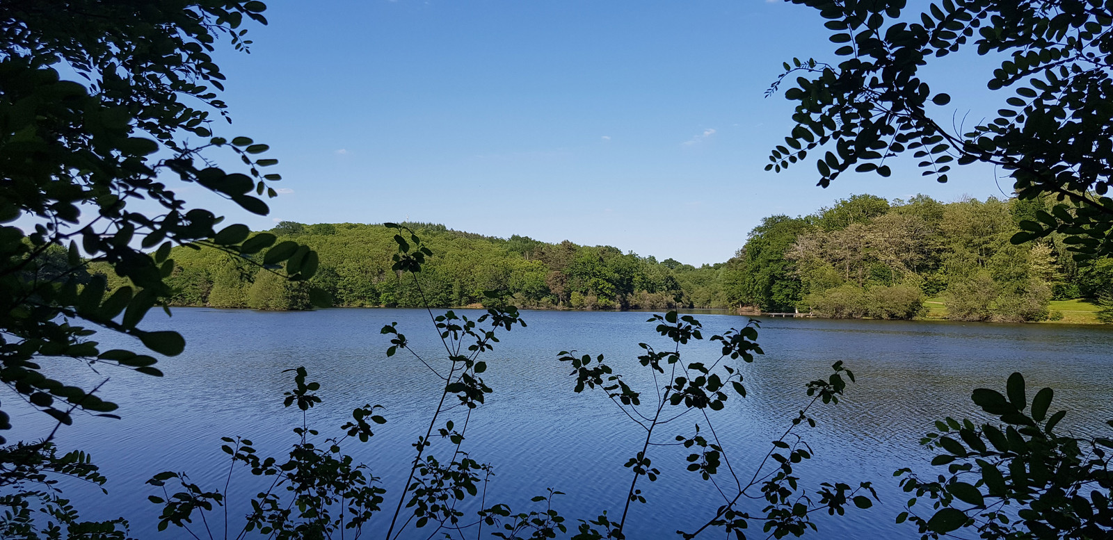
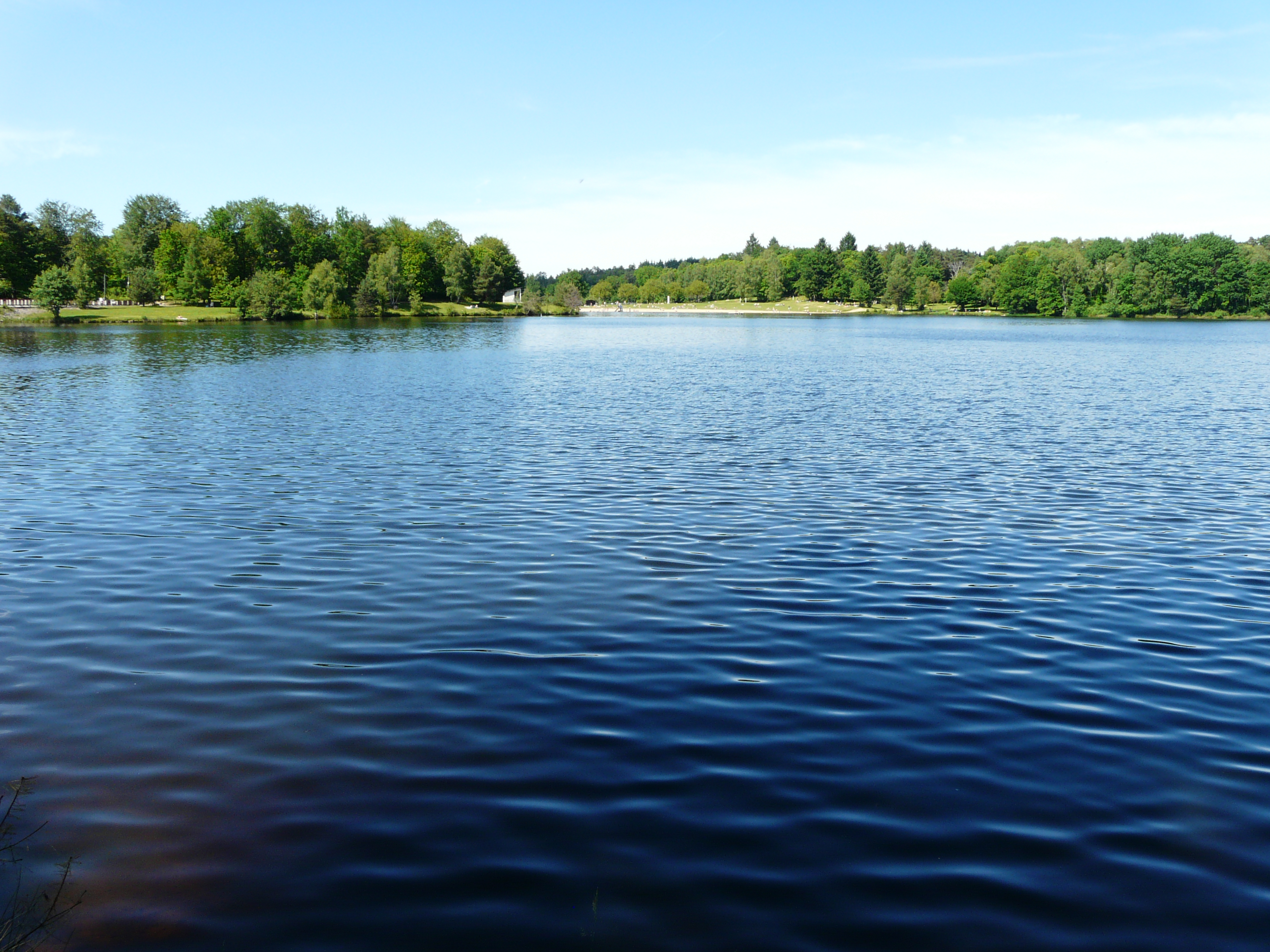
Stroll along the beautiful Couze pond. The route goes back and forth between undergrowth and meadows.

Already more than 200,000 users!
Uphill
98m
Highest point
238m
Downhill
98m
Lowest point
193m
Route type
There and back
Download the map on your smartphone to save battery and rest assured to always keep access to the route, even without signal.
Includes IGN France and Swisstopo.
I indicate whether dogs are allowed or prohibited on this trail
All year
1 rating
Also enjoy:

Already more than 200,000 users!