Uphill
294m
Length
9km
Duration
3h
Elev gain
294m
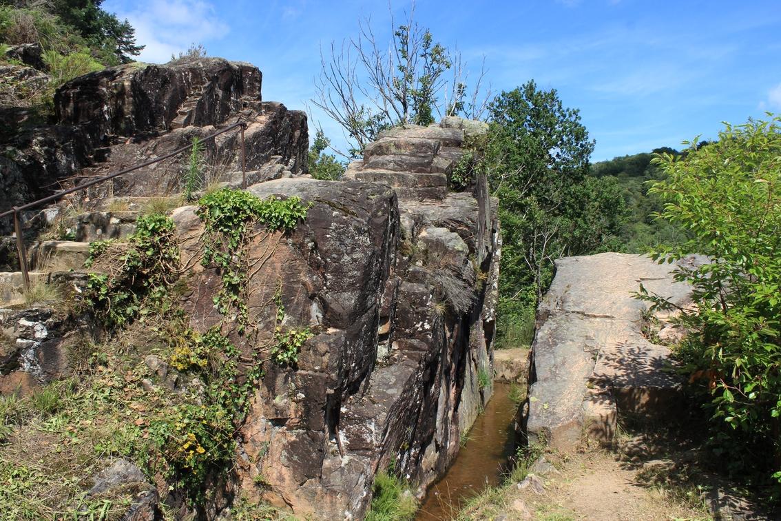
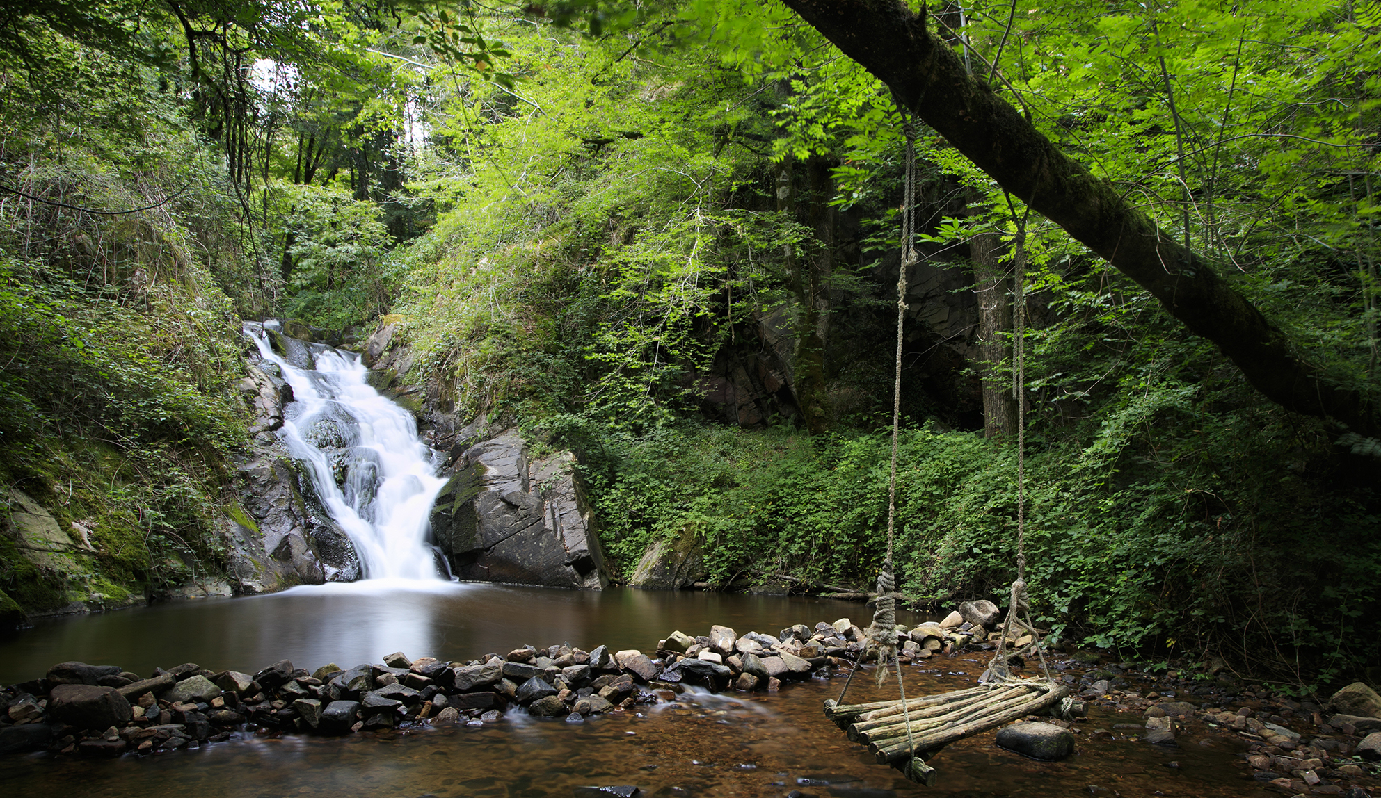
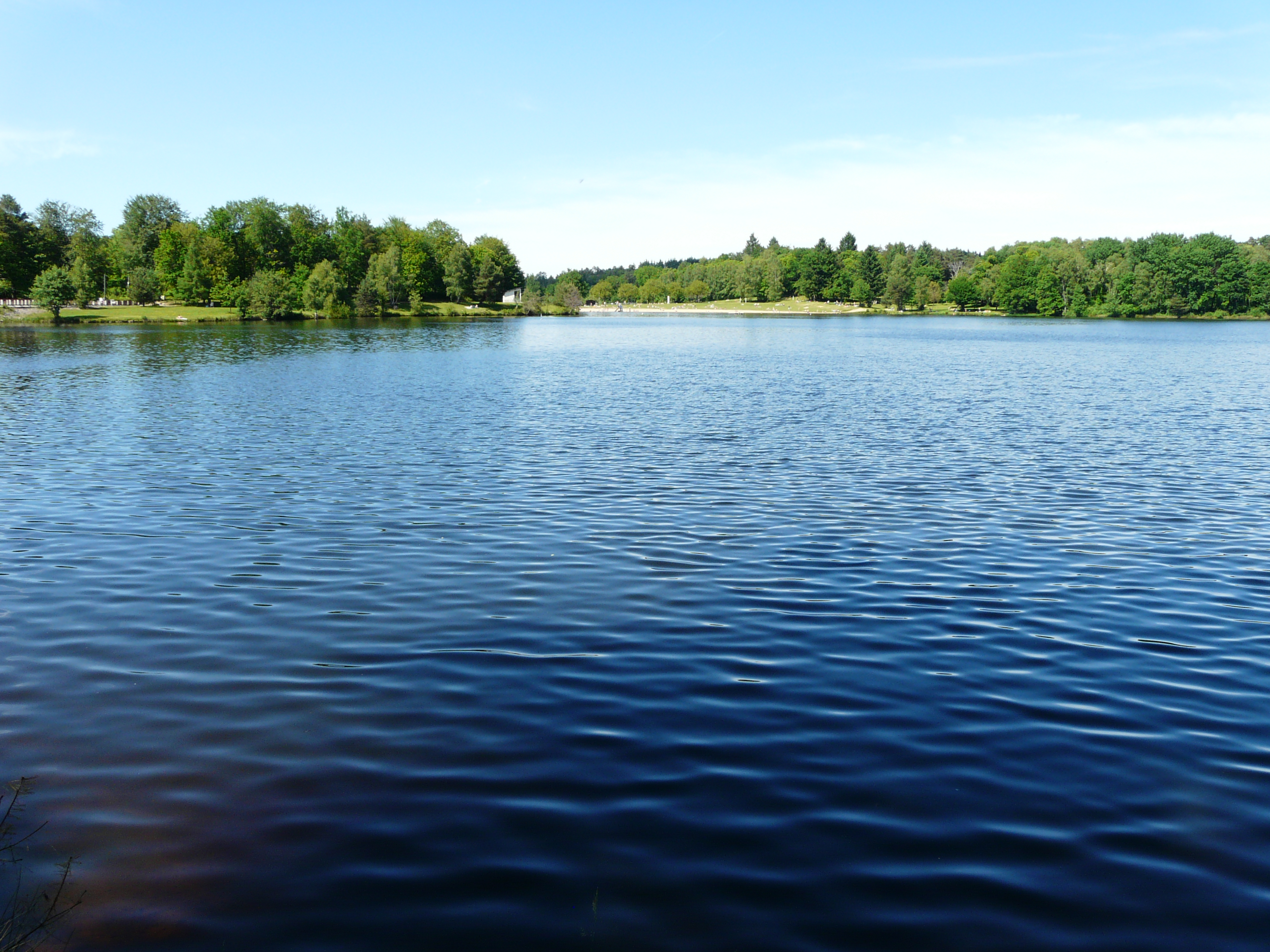
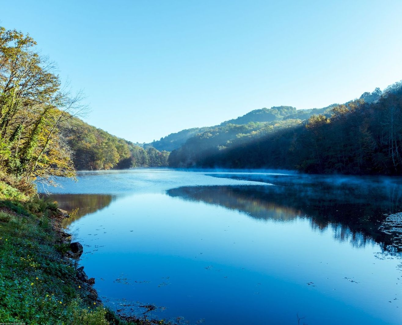
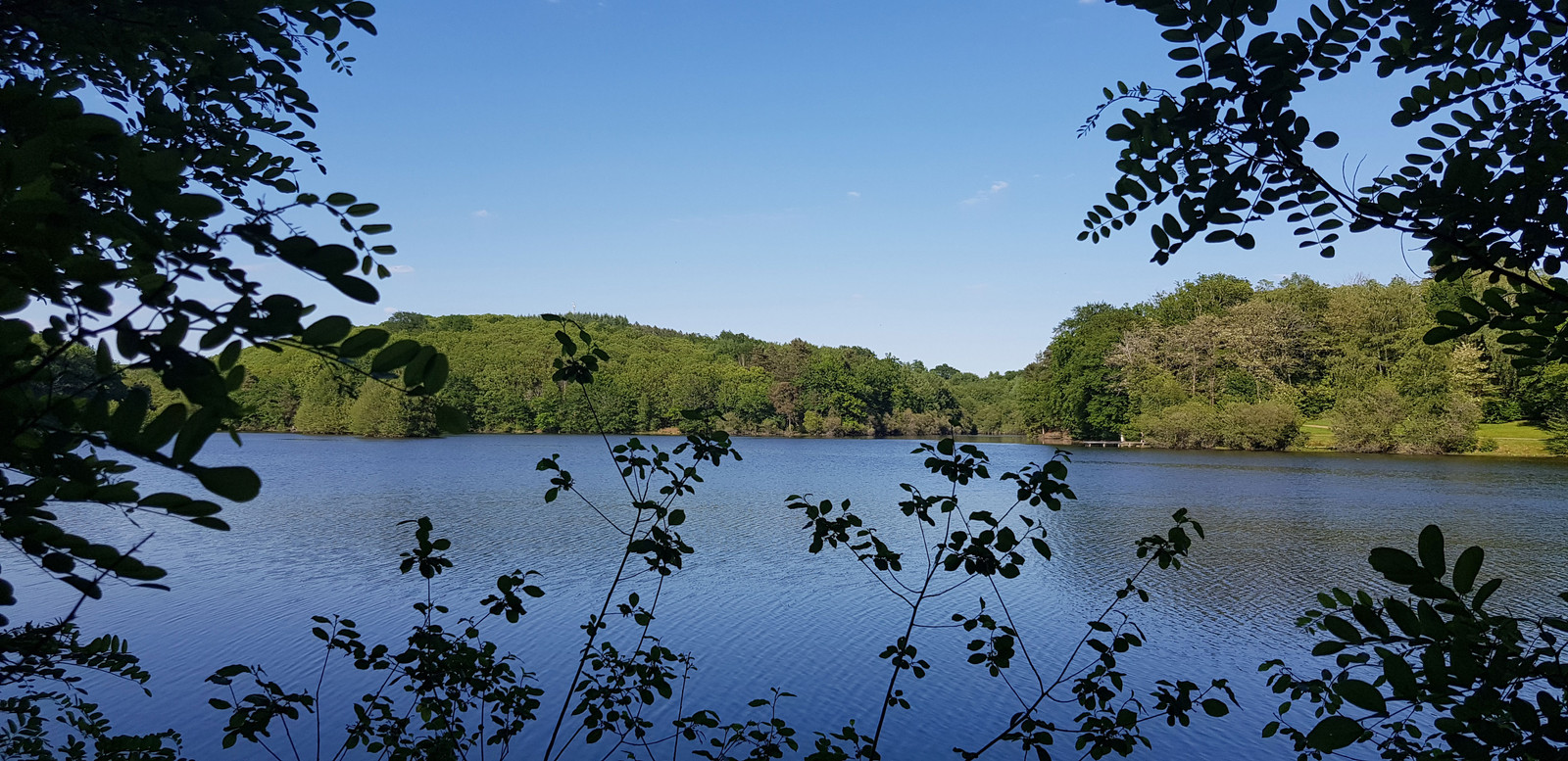
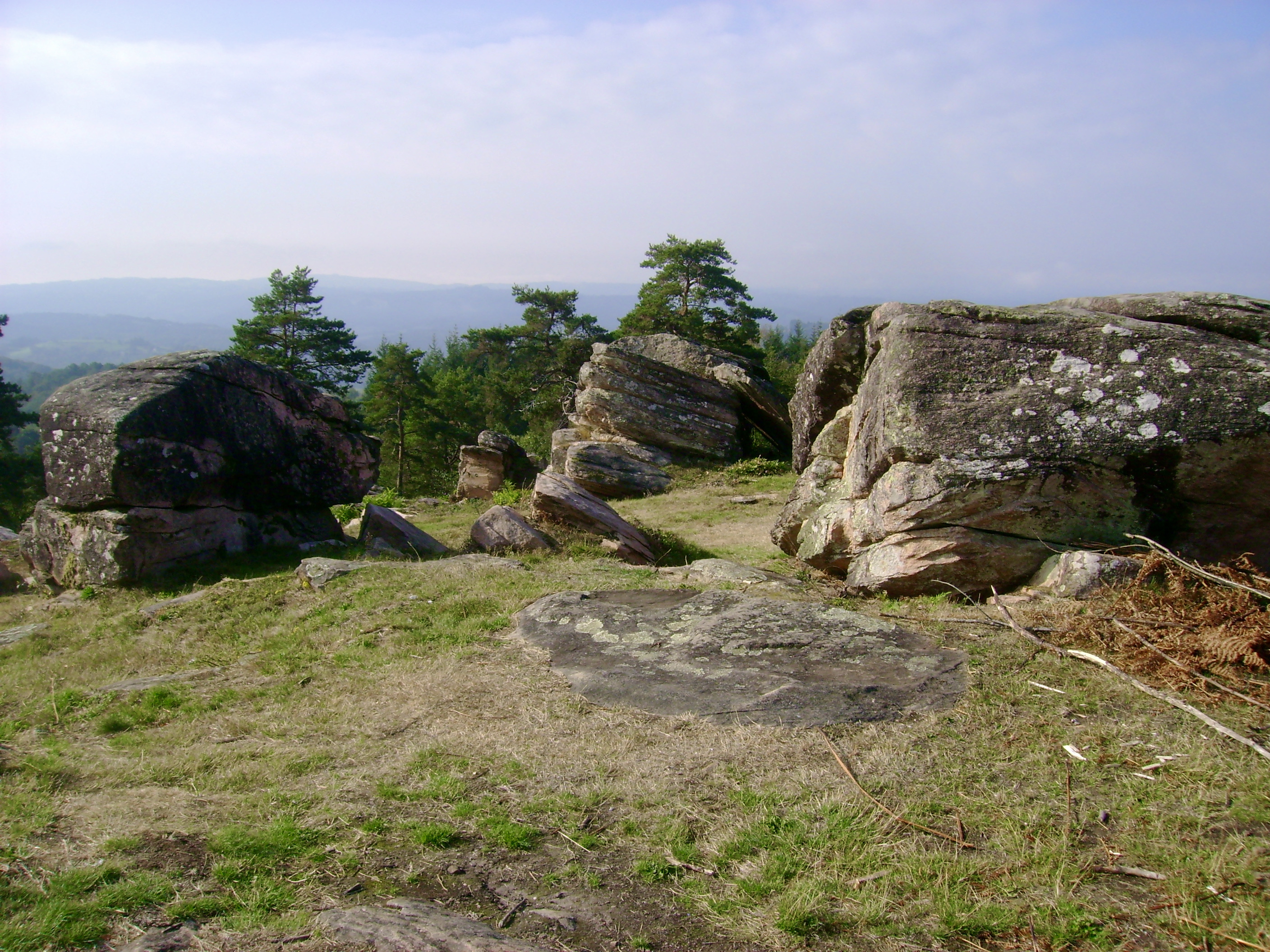
Leaving from Aubazine, this hike leads to the Puy de Pauliac, a summit which includes a Neolithic cromlech and an orientation table. The panorama over the Monédières, the Corrèze valley and the Causses is spectacular.

Already more than 200,000 users!
Uphill
294m
Highest point
516m
Downhill
294m
Lowest point
288m
Route type
Loop
Download the map on your smartphone to save battery and rest assured to always keep access to the route, even without signal.
Includes IGN France and Swisstopo.
I indicate whether dogs are allowed or prohibited on this trail
All year
3 ratings
Also enjoy:

Already more than 200,000 users!