Uphill
80m
Length
5km
Duration
1h30min
Elev gain
80m
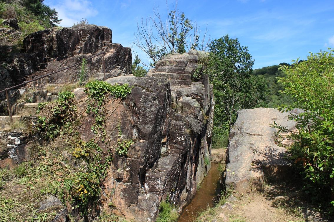
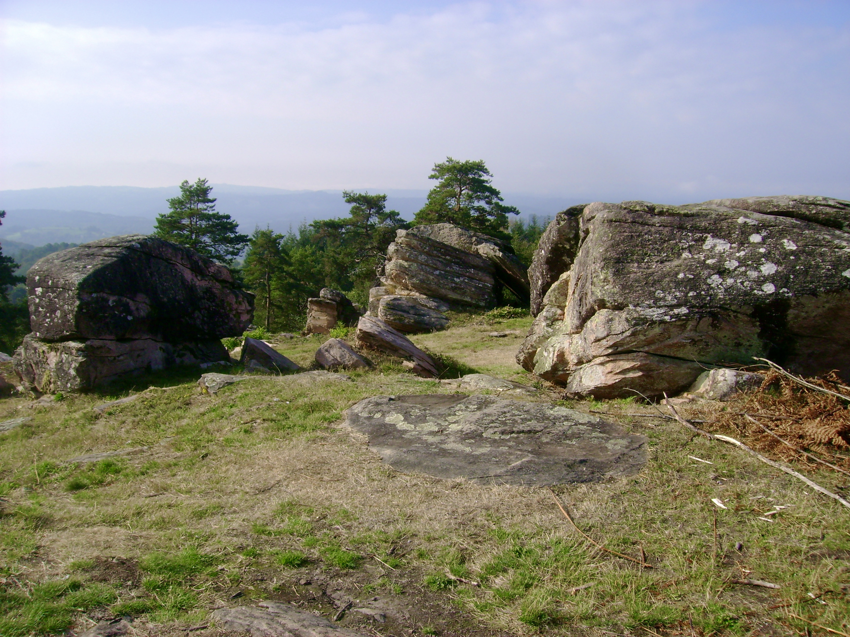
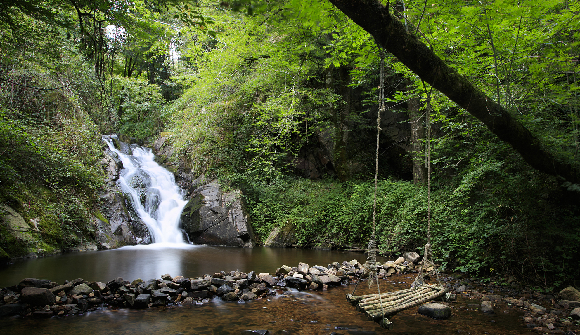
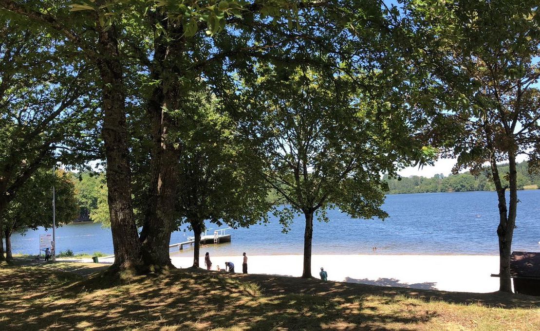
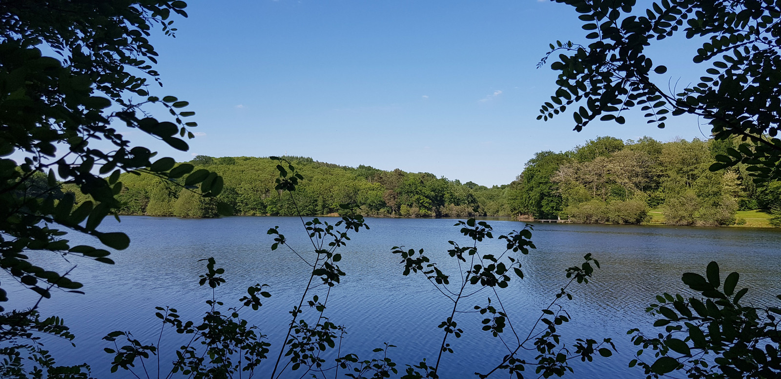
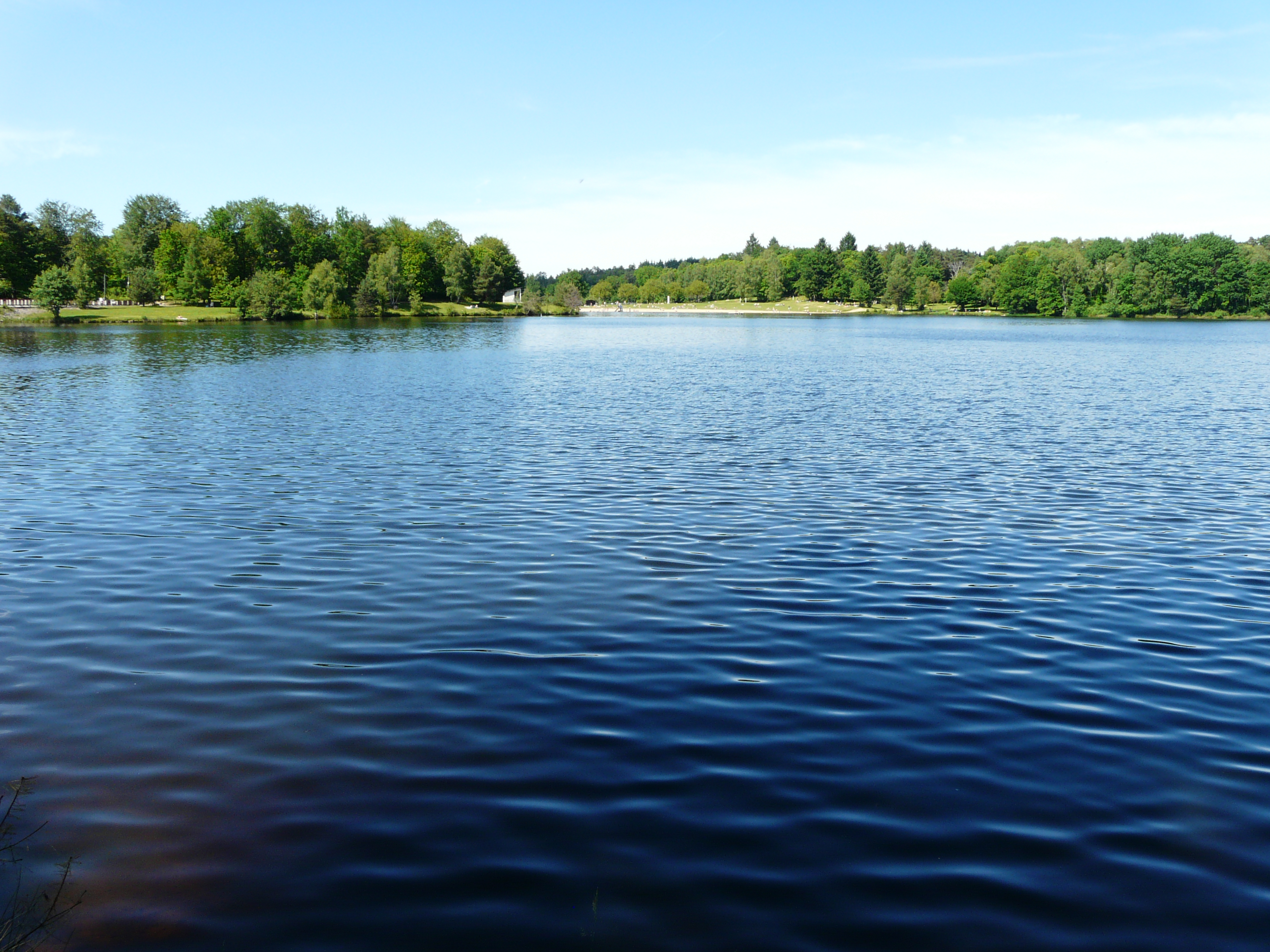
Here is a nice hike around Lake Coiroux. The route begins by skirting the lake and then quickly rises in the woods. The path bypasses the golf course of the Parc du Coiroux, then returns towards the lake to reach the starting point. A walk that allows you to fill up with fresh air.

Already more than 200,000 users!
Uphill
80m
Highest point
495m
Downhill
80m
Lowest point
427m
Route type
Loop
Download the map on your smartphone to save battery and rest assured to always keep access to the route, even without signal.
Includes IGN France and Swisstopo.
I indicate whether dogs are allowed or prohibited on this trail
All year
3 ratings
Belle randonnée, chemin accidenté avec les arbres tombaient avec la tempête. Donc un peu d’acrobatie et de détours… car chemin barré 😅
Also enjoy:

Already more than 200,000 users!