Uphill
14m
Length
2km
Duration
30min
Elev gain
14m
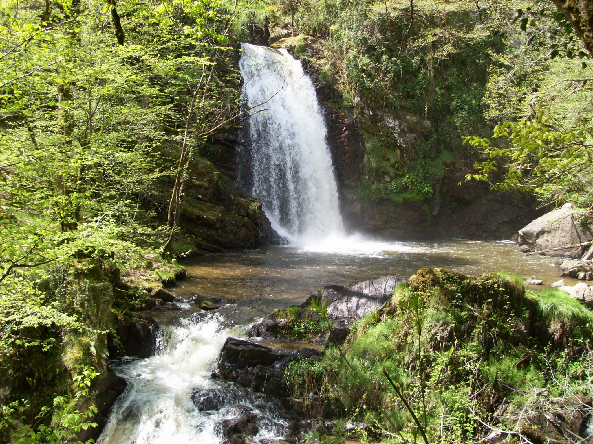
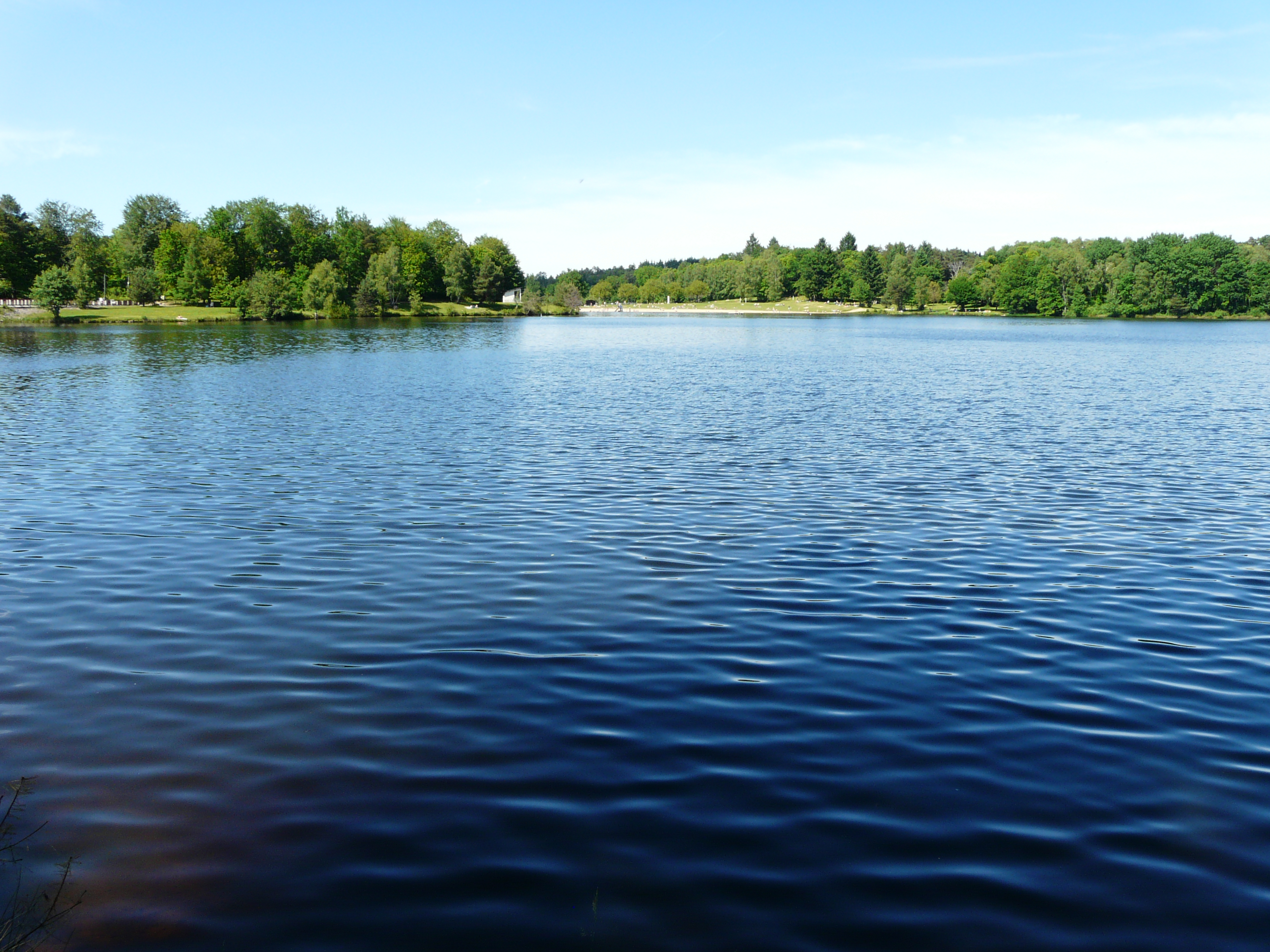
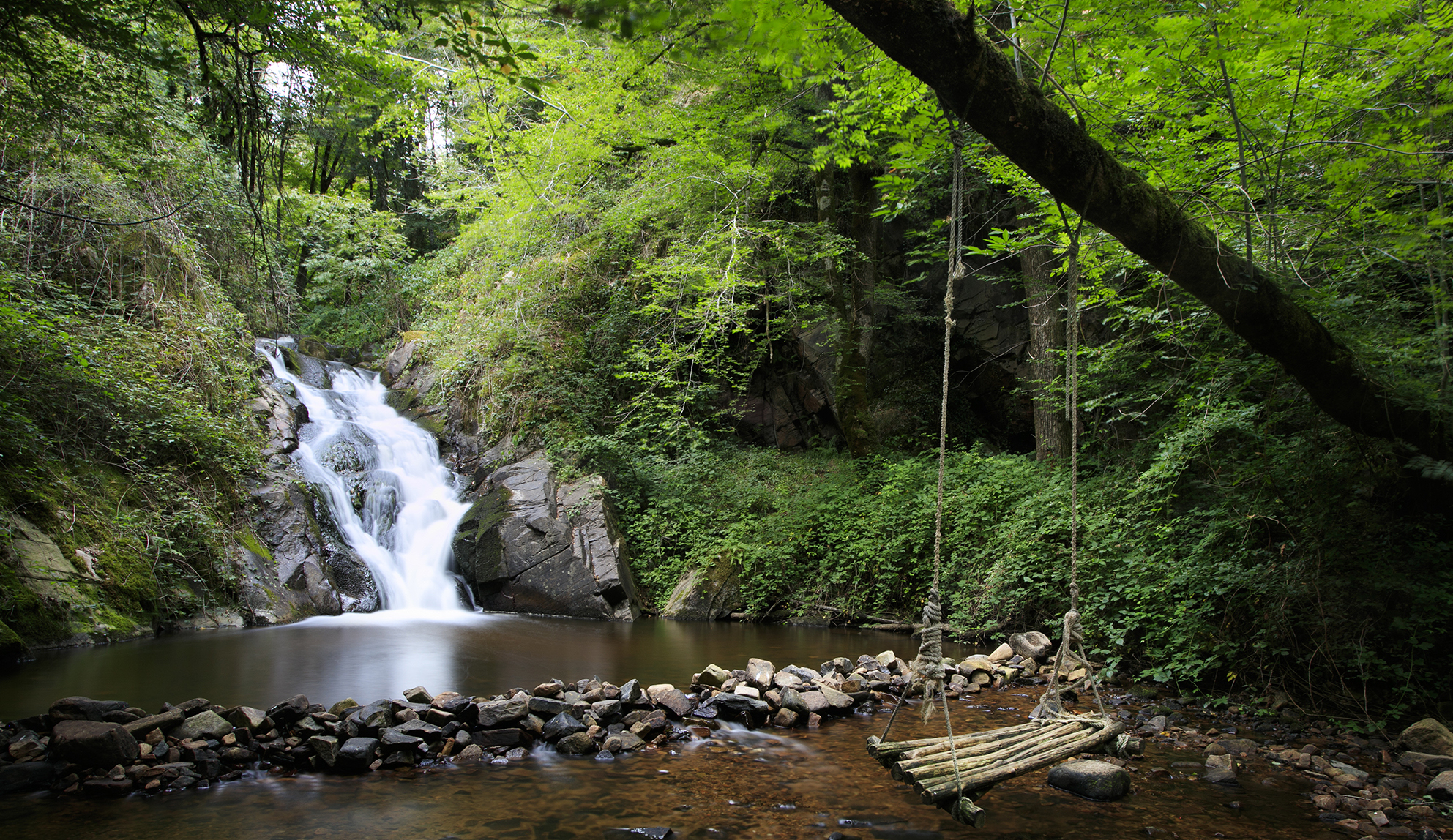
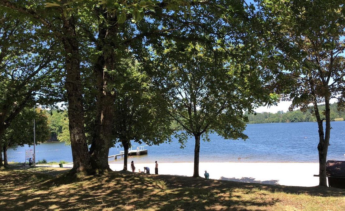
A short family outing to discover Lac de Miel. The course goes around this body of water bordered by water activities during the summer period, and presenting a rich fauna and flora.

Already more than 200,000 users!
Uphill
14m
Highest point
519m
Downhill
14m
Lowest point
496m
Route type
Loop
Download the map on your smartphone to save battery and rest assured to always keep access to the route, even without signal.
Includes IGN France and Swisstopo.
I indicate whether dogs are allowed or prohibited on this trail
All year
0 ratings
Also enjoy:

Already more than 200,000 users!