Uphill
100m
Length
4km
Duration
1h
Elev gain
100m
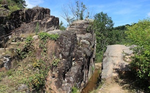
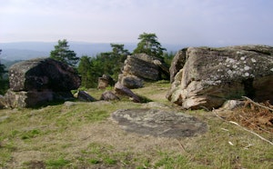
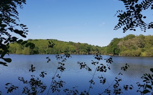
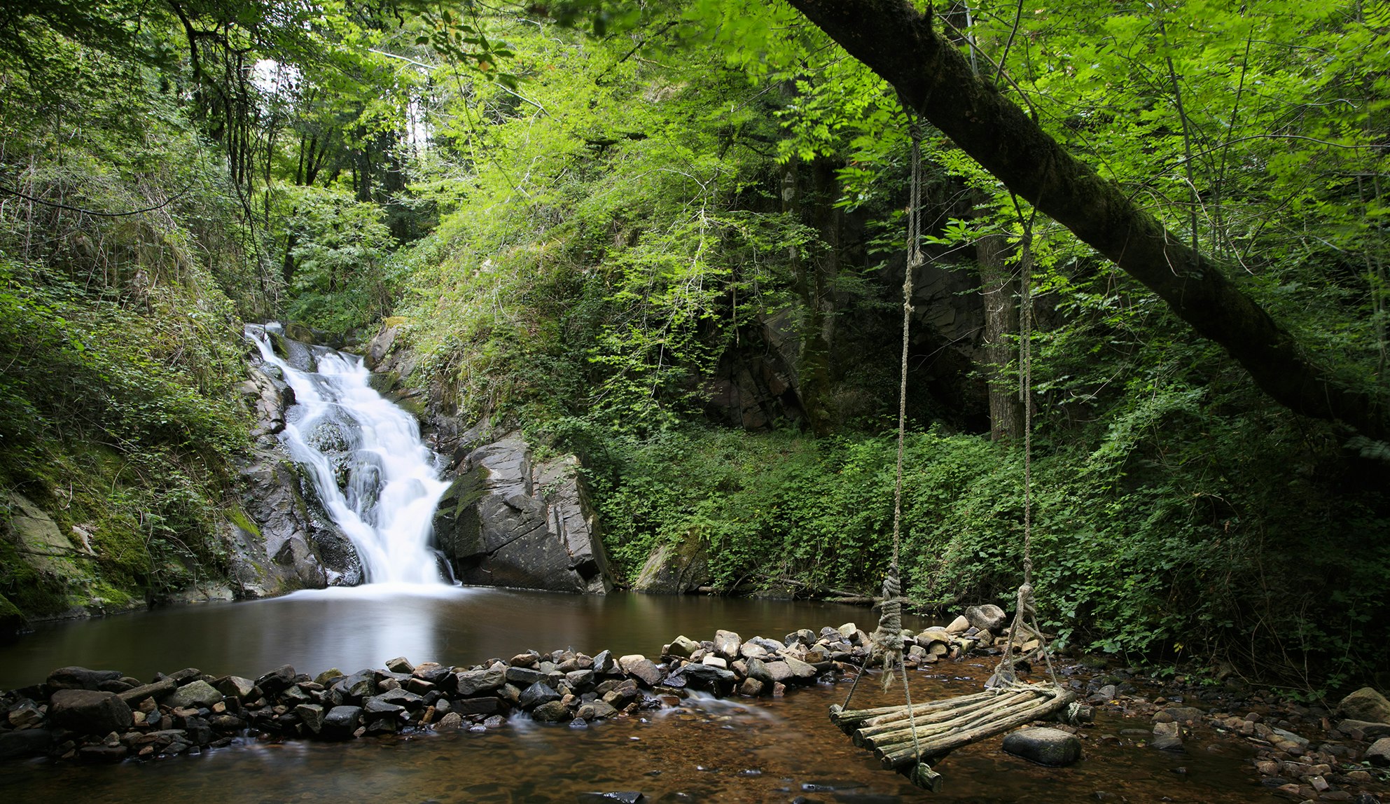
Small pleasant walk around Aubazine. The path leads to a pretty waterfall halfway through, then runs along the Coiroux before returning to the starting point.

Already more than 200,000 users!
Uphill
100m
Highest point
297m
Downhill
100m
Lowest point
242m
Route type
Loop
Download the map on your smartphone to save battery and rest assured to always keep access to the route, even without signal.
Includes IGN France and Swisstopo.
I indicate whether dogs are allowed or prohibited on this trail
All year
0 ratings
Also enjoy:

Already more than 200,000 users!