Uphill
156m
Length
7km
Duration
2h30min
Elev gain
156m
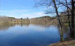
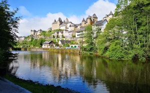
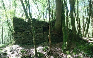
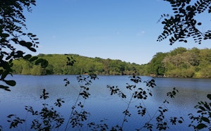
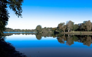
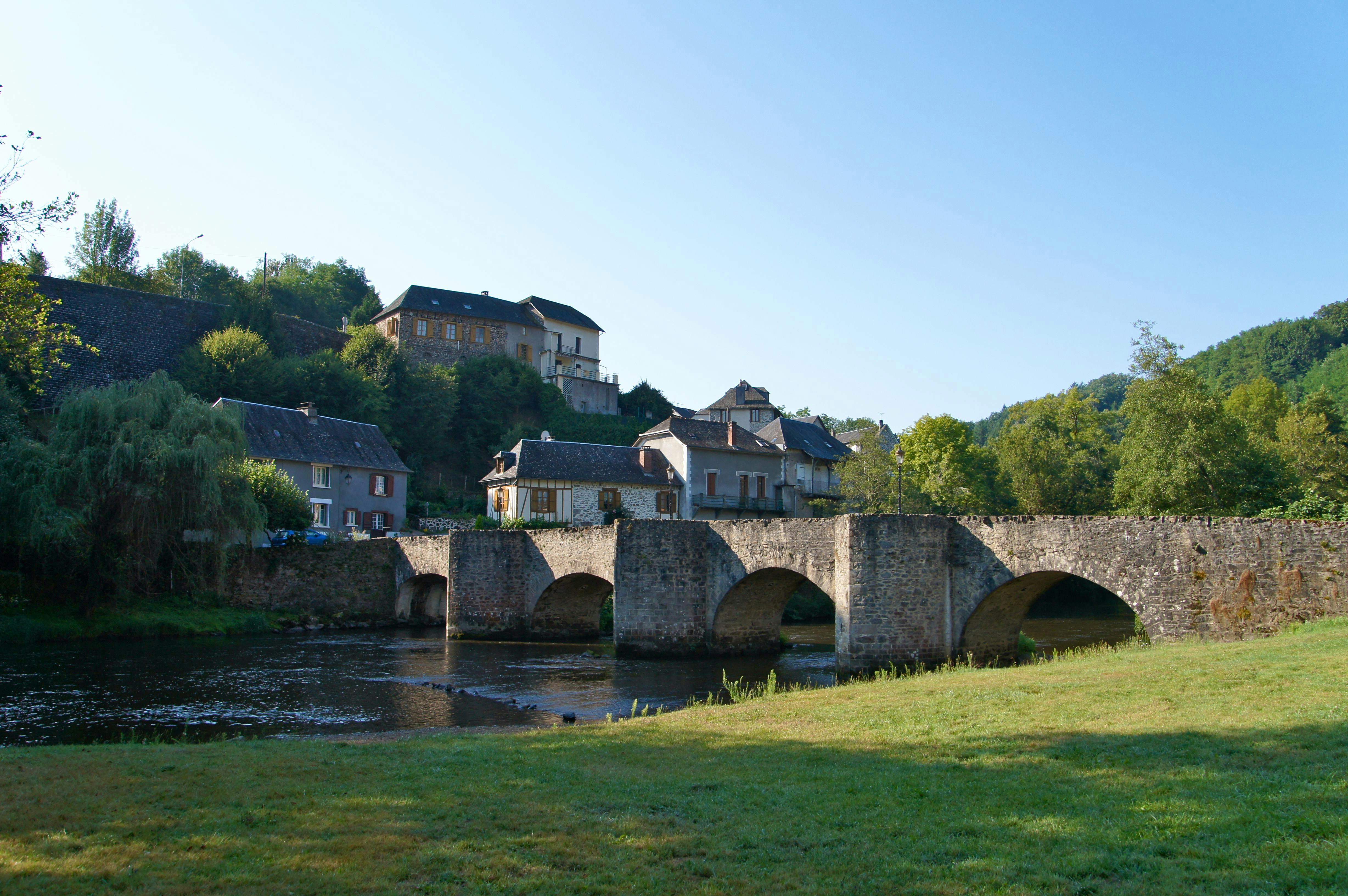
Departing from Vigeois, this route explores the Vézère gorges. After leaving the village, the path skirts then crosses the Vézère several times and offers pretty views of this charming river.
The return is by the same route.

Already more than 200,000 users!
Uphill
156m
Highest point
308m
Downhill
156m
Lowest point
245m
Route type
There and back
Download the map on your smartphone to save battery and rest assured to always keep access to the route, even without signal.
Includes IGN France and Swisstopo.
I indicate whether dogs are allowed or prohibited on this trail
All year
1 rating
Also enjoy:

Already more than 200,000 users!