Uphill
20m
Length
4km
Duration
1h
Elev gain
20m
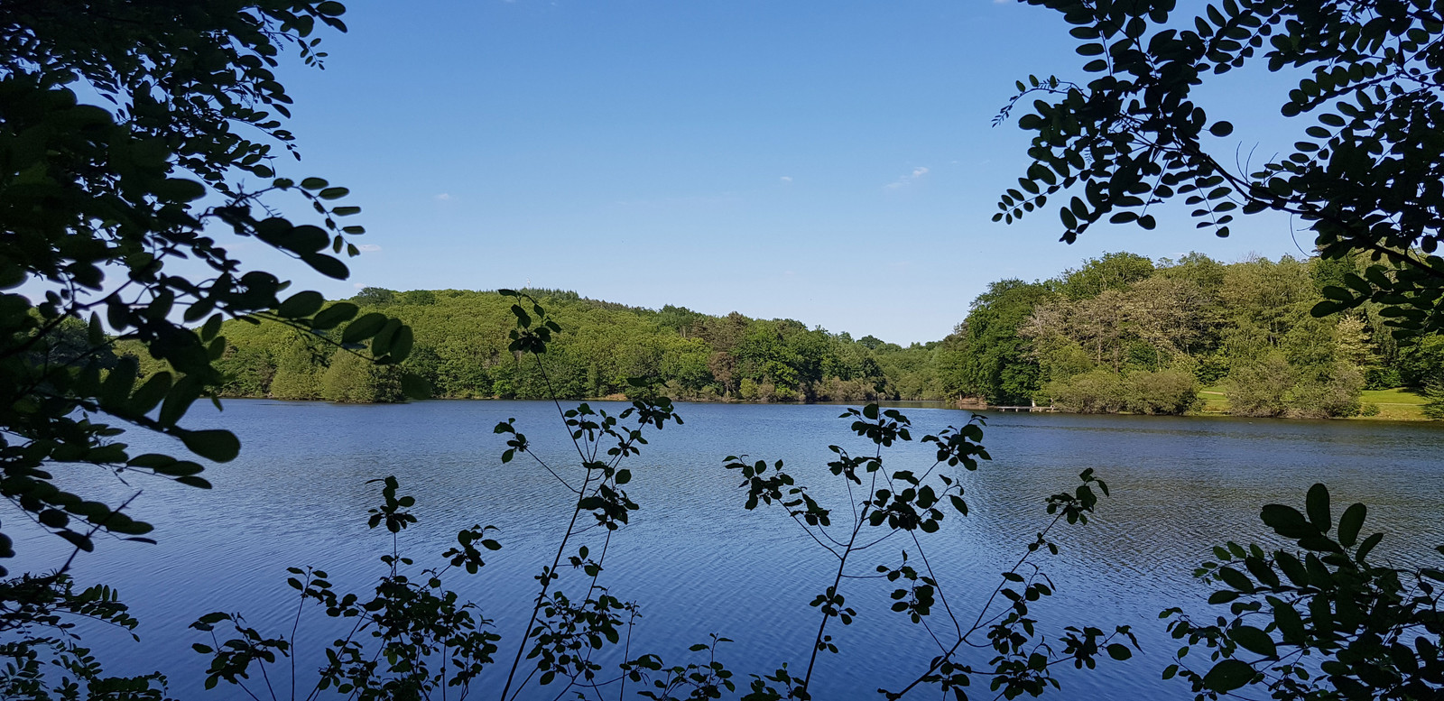
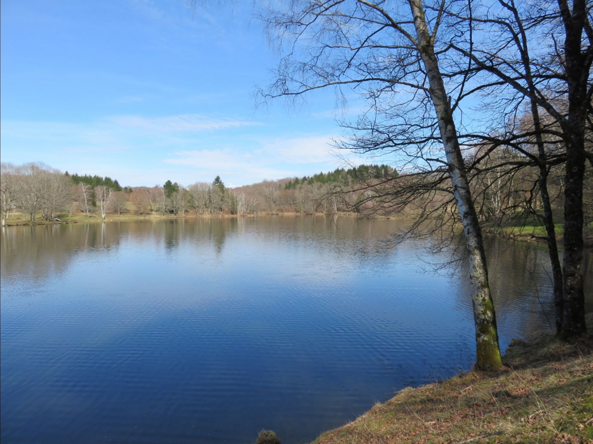
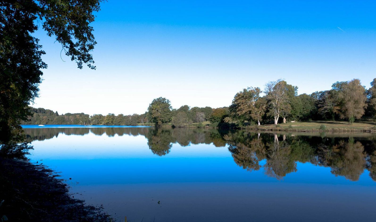
Short and peaceful stroll around the lake of Bournazel.
Please note: depending on the period, some areas may be flooded.

Already more than 200,000 users!
Uphill
20m
Highest point
465m
Downhill
20m
Lowest point
444m
Route type
Loop
Download the map on your smartphone to save battery and rest assured to always keep access to the route, even without signal.
Includes IGN France and Swisstopo.
I indicate whether dogs are allowed or prohibited on this trail
All year
0 ratings
Also enjoy:

Already more than 200,000 users!