Uphill
322m
Length
9km
Duration
3h
Elev gain
322m
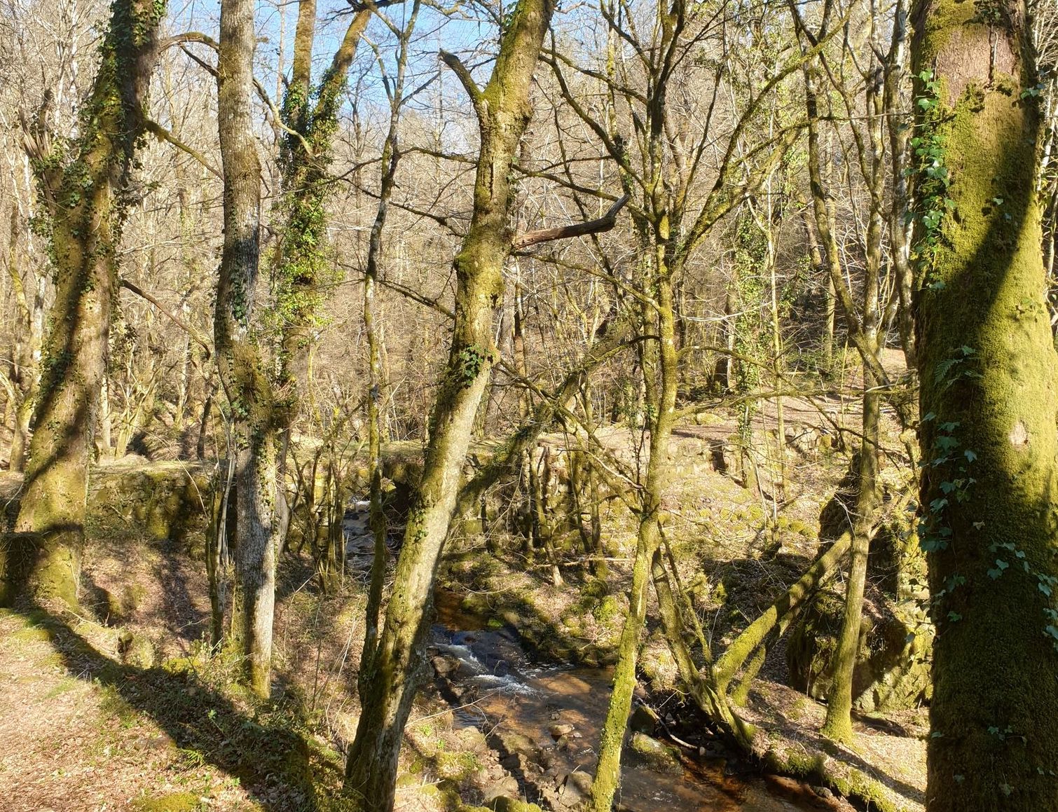
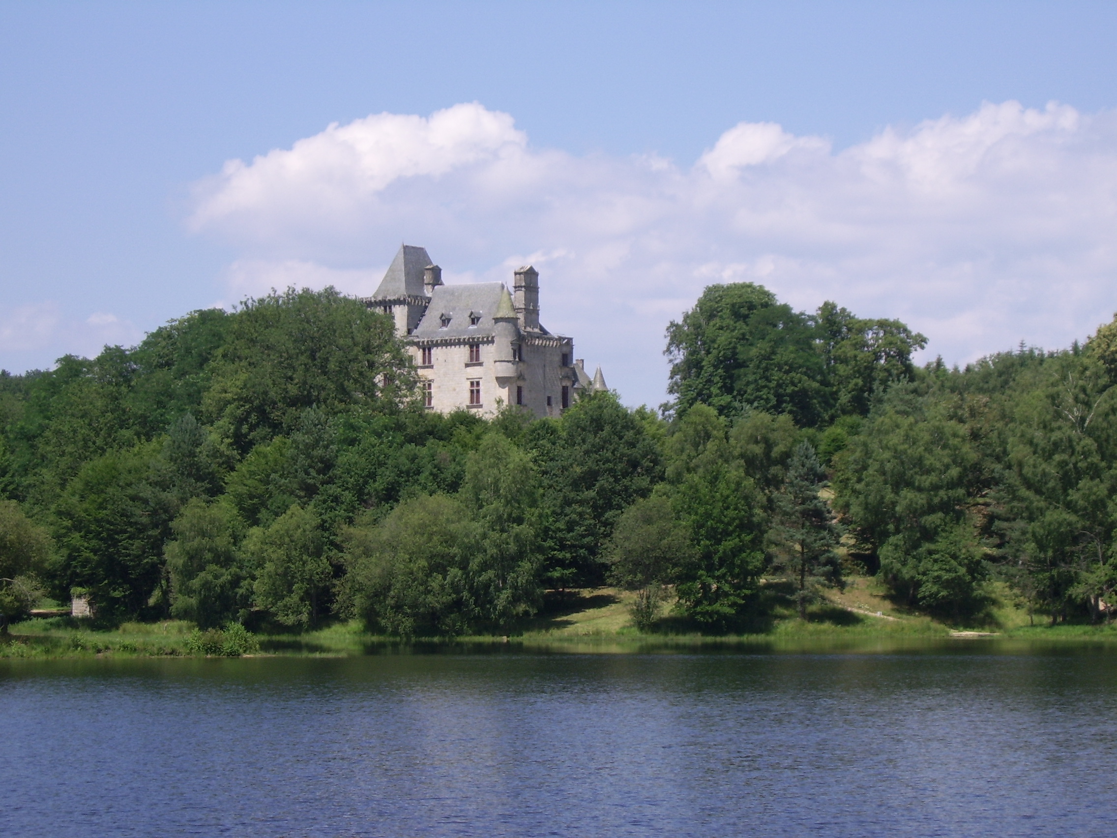
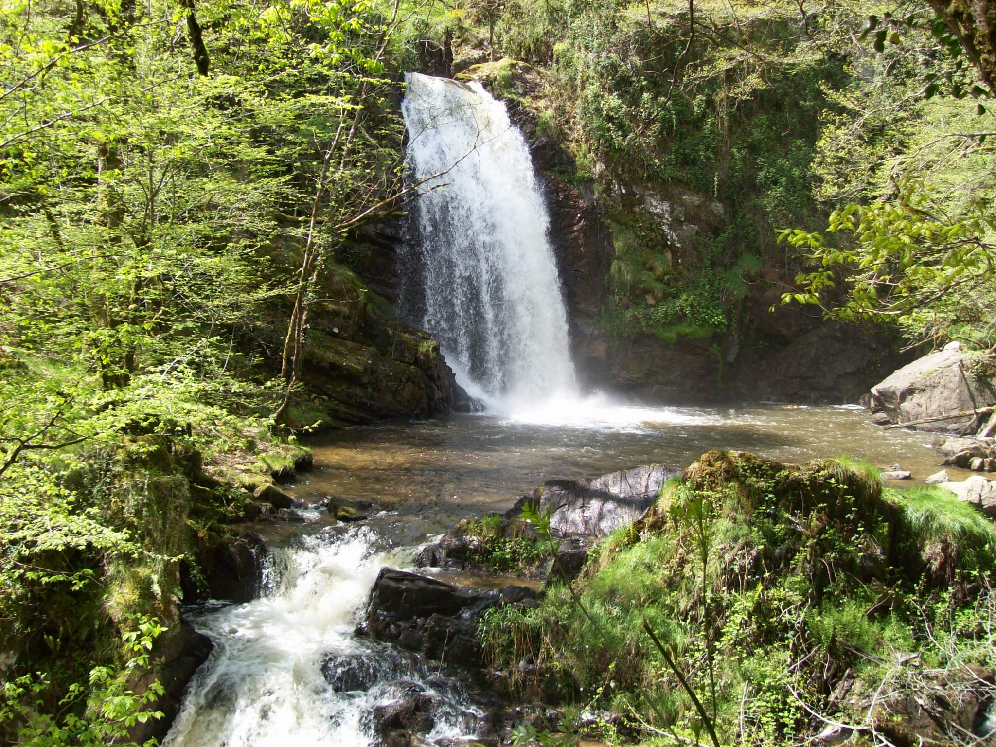
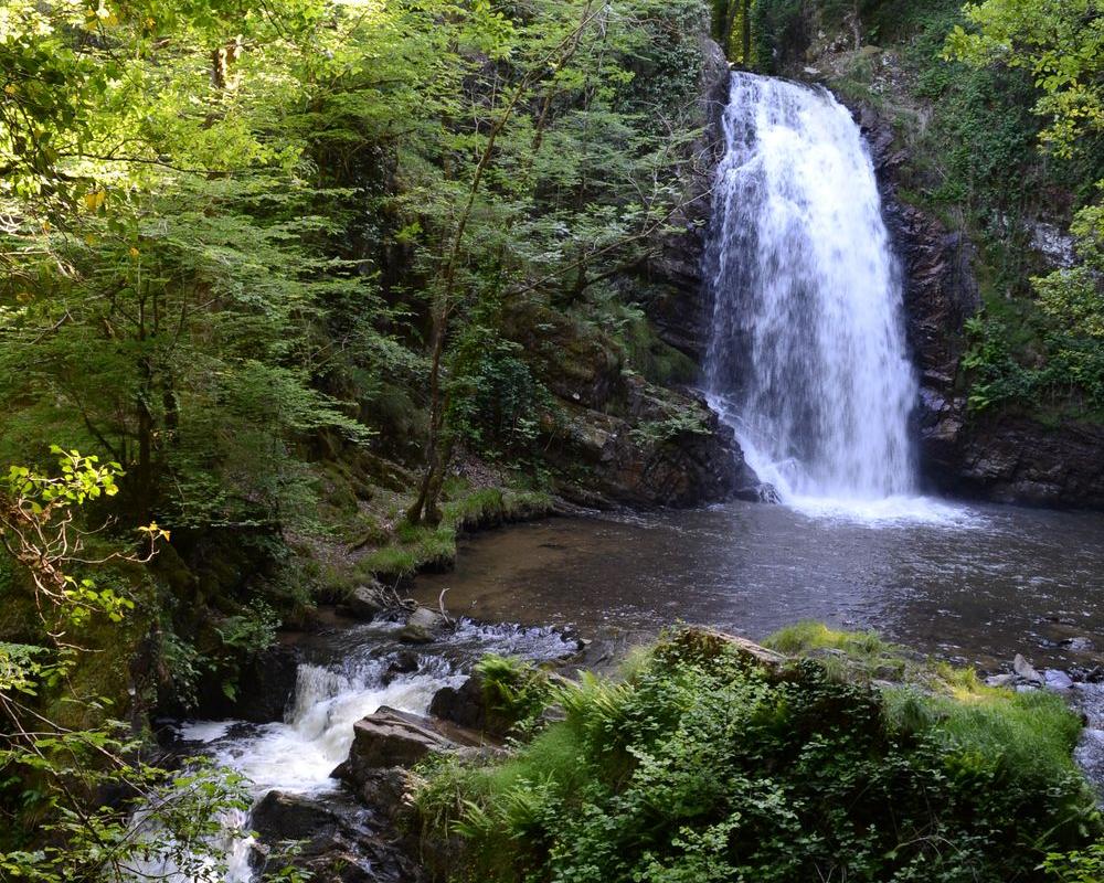
This walk follows the Montane stream to reach the marvelous Gimel waterfalls, passing by the Tour waterfall. After the village, the path offers several viewpoints, from the Rosaire then the orientation table of the Puy de Chadon.

Already more than 200,000 users!
Uphill
322m
Highest point
471m
Downhill
322m
Lowest point
284m
Route type
Loop
Download the map on your smartphone to save battery and rest assured to always keep access to the route, even without signal.
Includes IGN France and Swisstopo.
I indicate whether dogs are allowed or prohibited on this trail
All year
2 ratings
Très belle randonnée qui mériterait + de 3 étoiles!
Also enjoy:

Already more than 200,000 users!