Uphill
83m
Length
5km
Duration
1h30min
Elev gain
83m
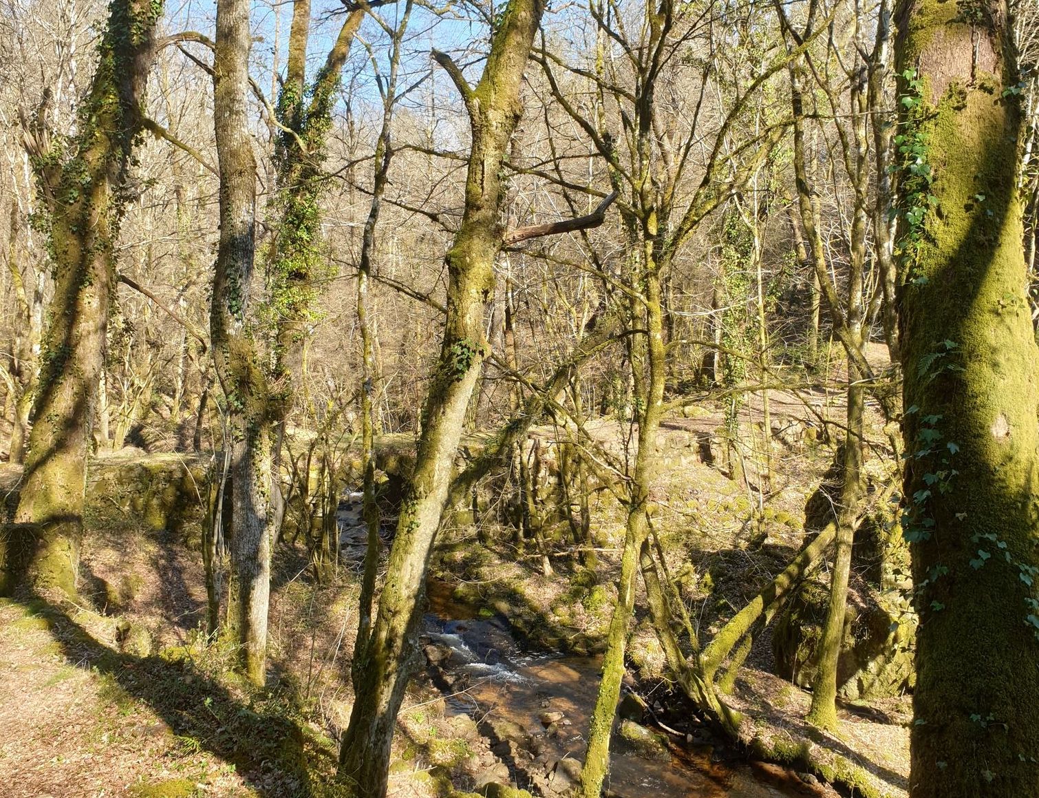
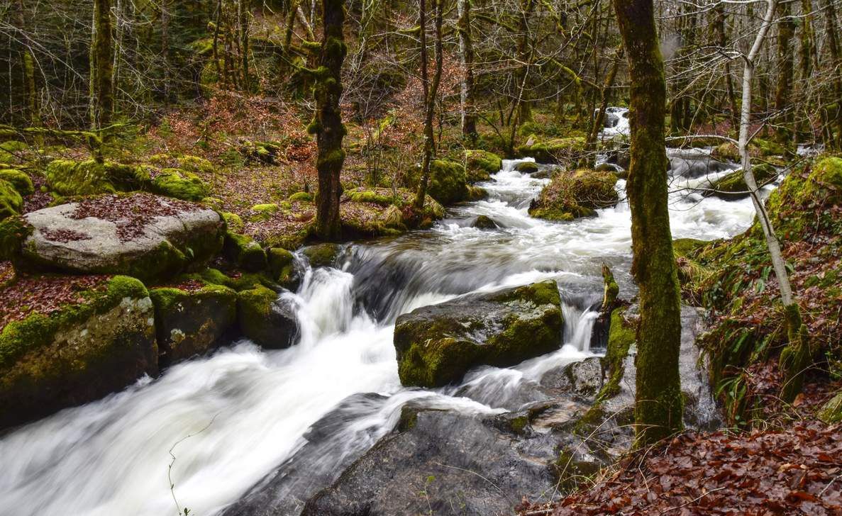
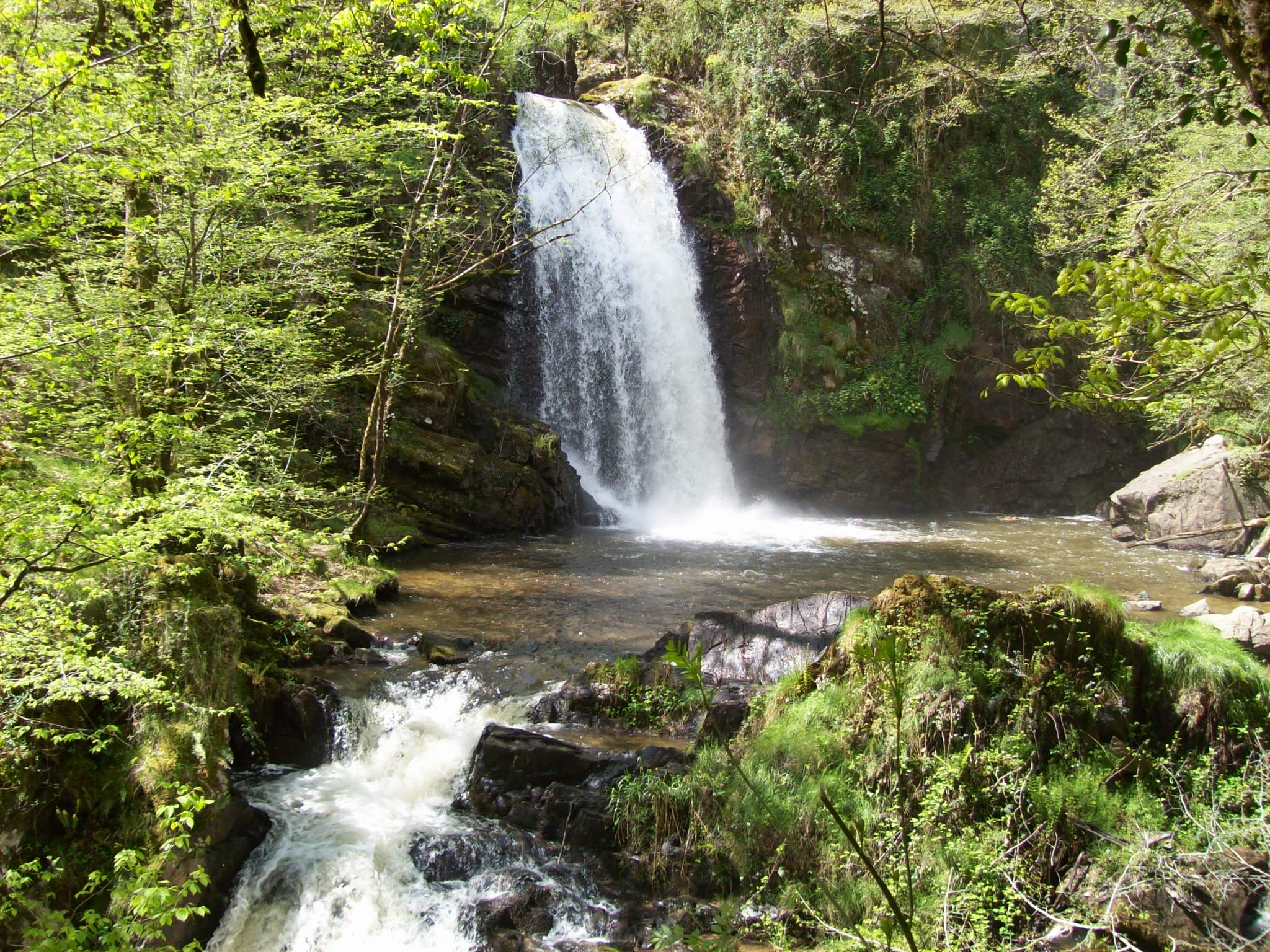
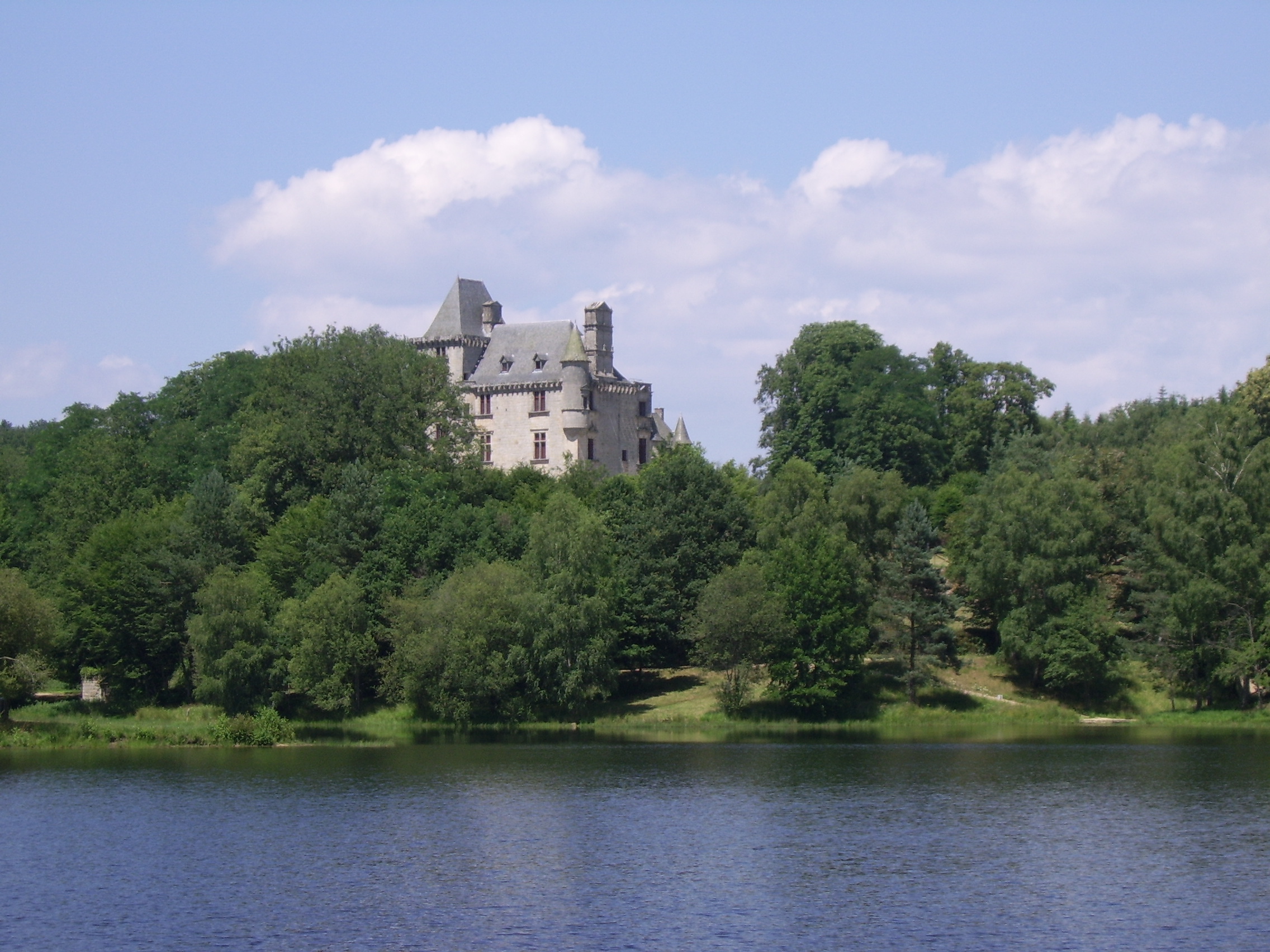
Here is a short walk that does not lack ponds. In total, this course crosses around four bodies of water: the pond Neuf, de la Prade, Noir, and des Agadis. An outing that offers beautiful views of the Château de Sédières.

Already more than 200,000 users!
Uphill
83m
Highest point
595m
Downhill
83m
Lowest point
529m
Route type
Loop
Download the map on your smartphone to save battery and rest assured to always keep access to the route, even without signal.
Includes IGN France and Swisstopo.
I indicate whether dogs are allowed or prohibited on this trail
All year
2 ratings
Also enjoy:

Already more than 200,000 users!