Uphill
41m
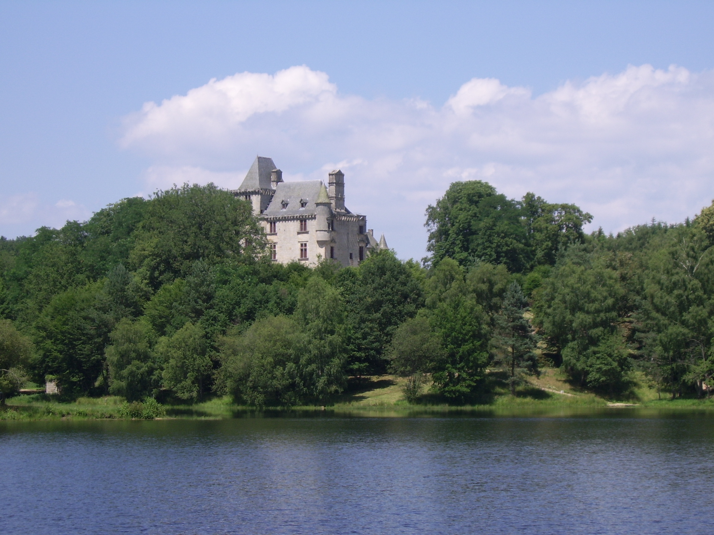
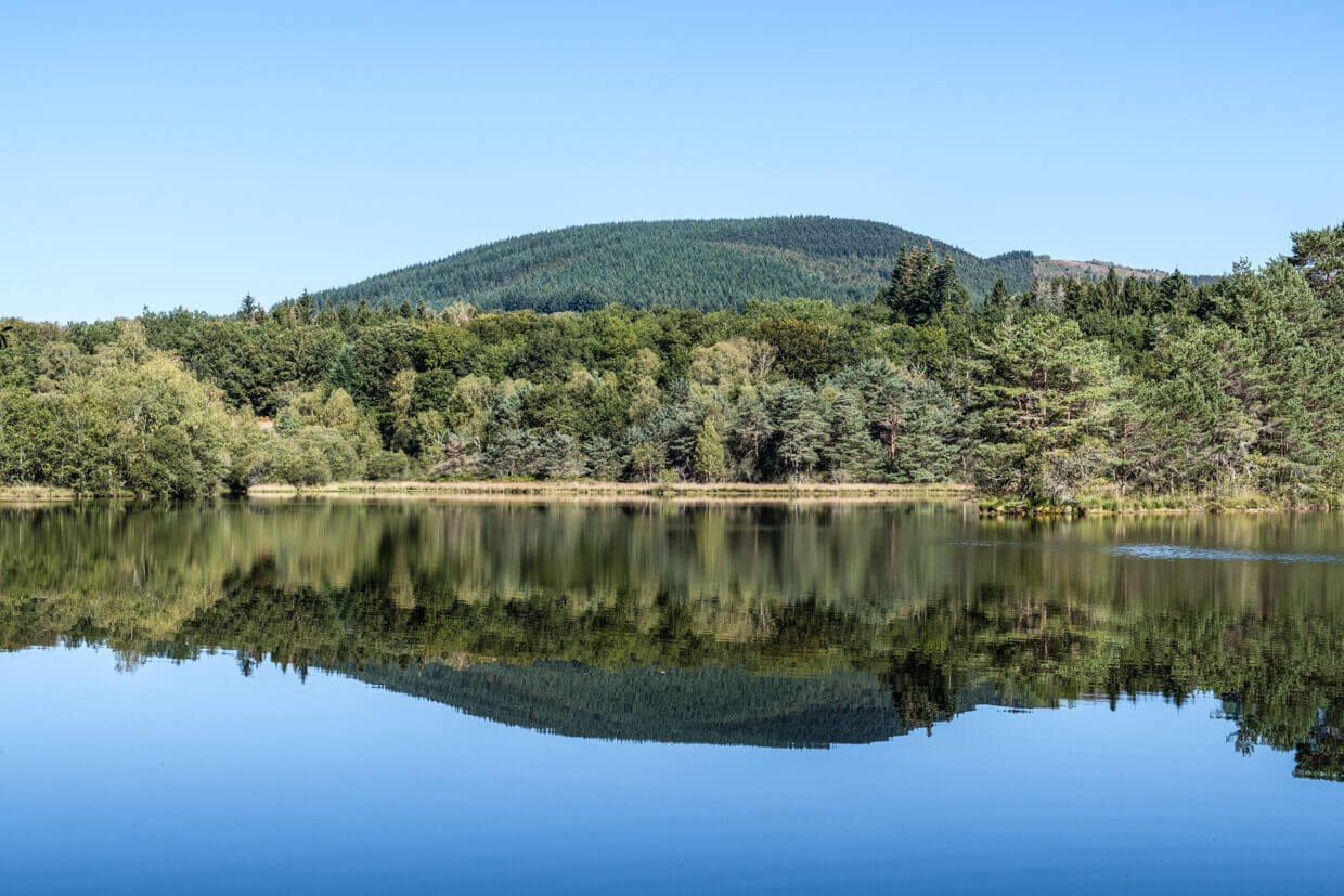
France > Nouvelle-Aquitaine > Corrèze > Millevaches en Limousin Nature Park
Length
2km
Duration
30min
Elev gain
41m
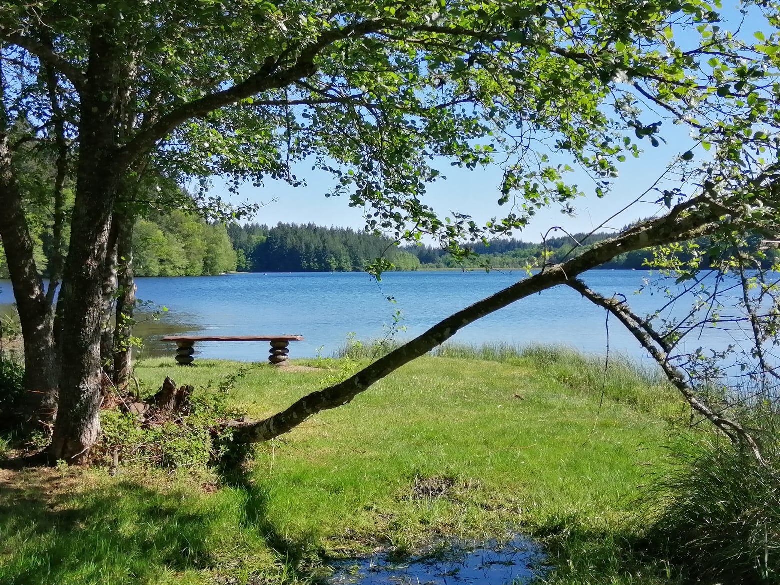
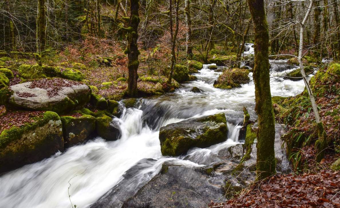
Here is a walk to discover the charming Deiro waterfalls, located in the undergrowth. An ideal place to plan a picnic.

Already more than 200,000 users!
Uphill
41m
Highest point
628m
Downhill
41m
Lowest point
579m
Route type
Loop
Download the map on your smartphone to save battery and rest assured to always keep access to the route, even without signal.
Includes IGN France and Swisstopo.
I indicate whether dogs are allowed or prohibited on this trail
All year
0 ratings
Also enjoy:

Already more than 200,000 users!