Uphill
196m
France > Nouvelle-Aquitaine > Corrèze > Millevaches en Limousin Nature Park
Length
5km
Duration
1h30min
Elev gain
196m
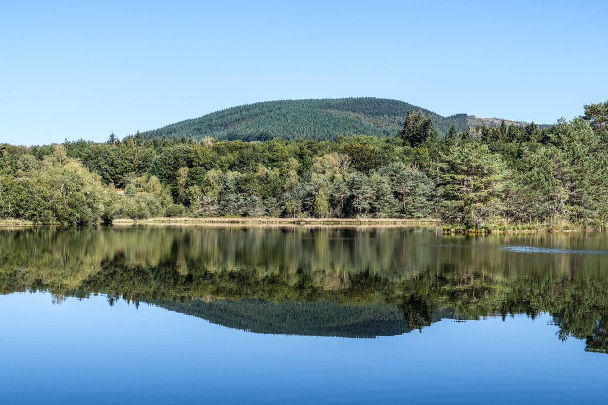
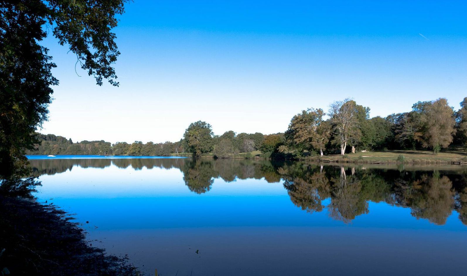
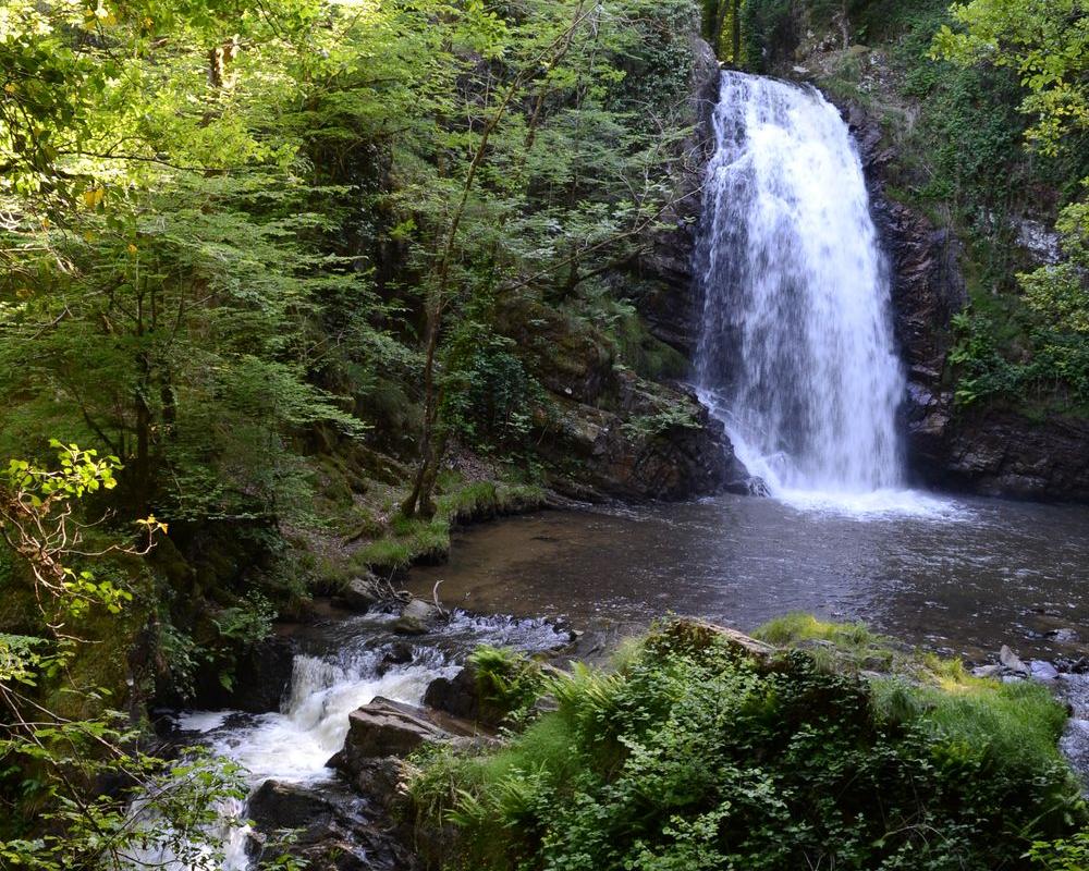
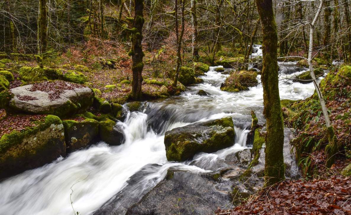
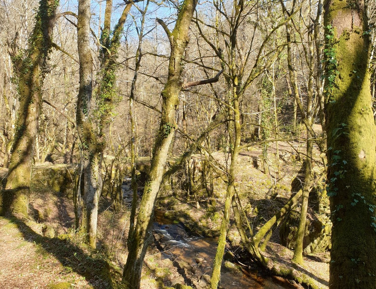
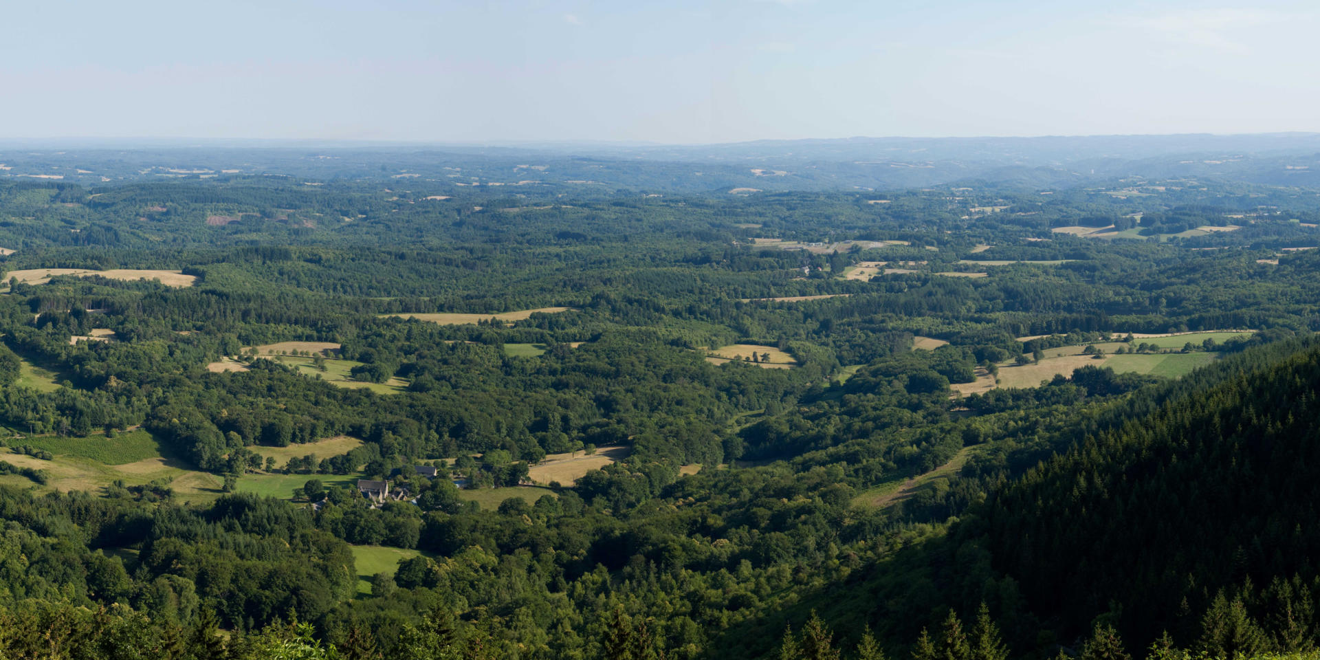
Short hike in the heart of the Monédières massif, to the summit of Suc au May (908 m). The route, mainly in the forest, does not present any particular difficulty and offers beautiful views of the surroundings.

Already more than 200,000 users!
Uphill
196m
Highest point
900m
Downhill
196m
Lowest point
745m
Route type
Loop
Download the map on your smartphone to save battery and rest assured to always keep access to the route, even without signal.
Includes IGN France and Swisstopo.
I indicate whether dogs are allowed or prohibited on this trail
Can be difficult in Winter
0 ratings
Also enjoy:

Already more than 200,000 users!