Uphill
344m
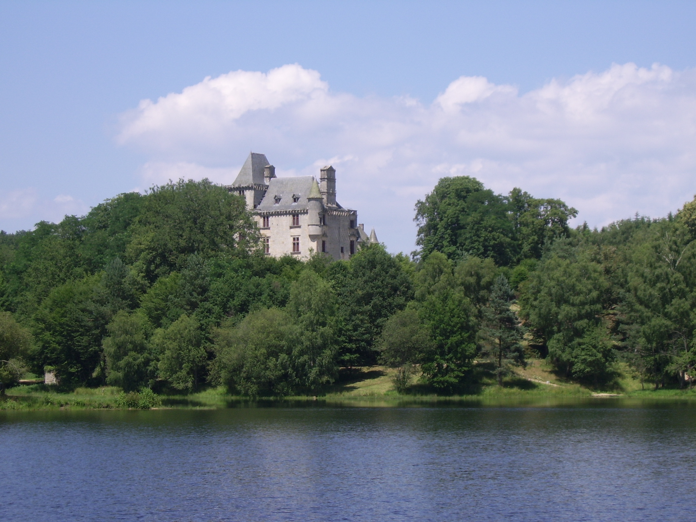
France > Nouvelle-Aquitaine > Corrèze > Millevaches en Limousin Nature Park
Length
9km
Duration
3h
Elev gain
344m
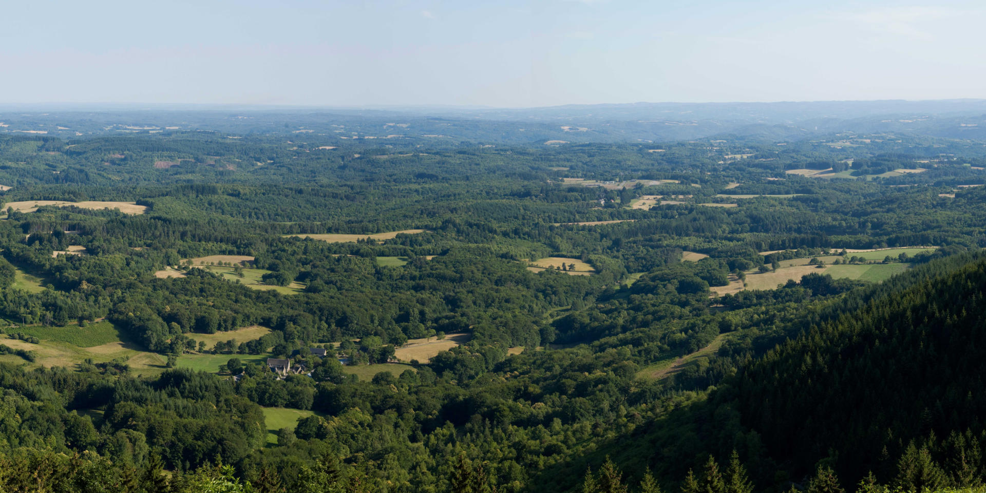
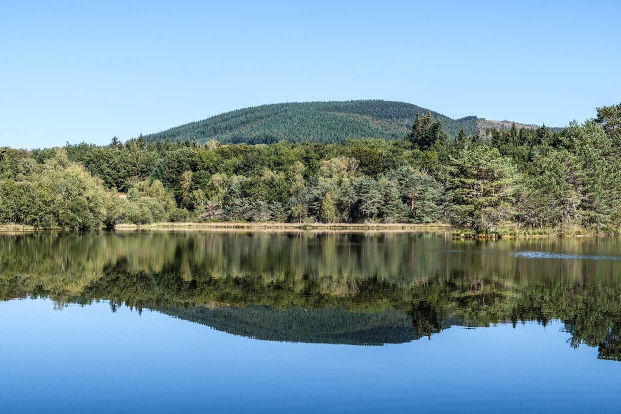
Departing from Chauzeix, this trail allows you to reach the Suc au May (908 m), and to discover a beautiful panorama of the Limousin Mountain and the Millevaches plateau.

Already more than 200,000 users!
Uphill
344m
Highest point
900m
Downhill
344m
Lowest point
604m
Route type
Loop
Download the map on your smartphone to save battery and rest assured to always keep access to the route, even without signal.
Includes IGN France and Swisstopo.
I indicate whether dogs are allowed or prohibited on this trail
Can be difficult in Winter
1 rating
Also enjoy:

Already more than 200,000 users!