Uphill
76m
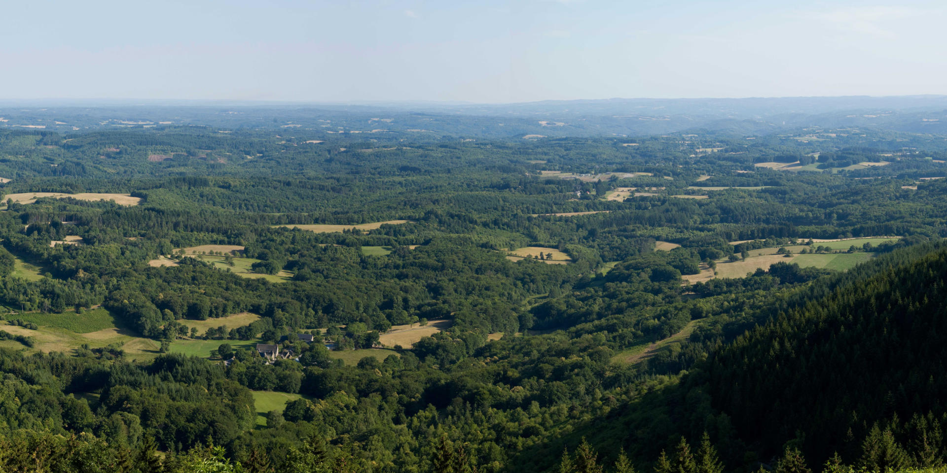
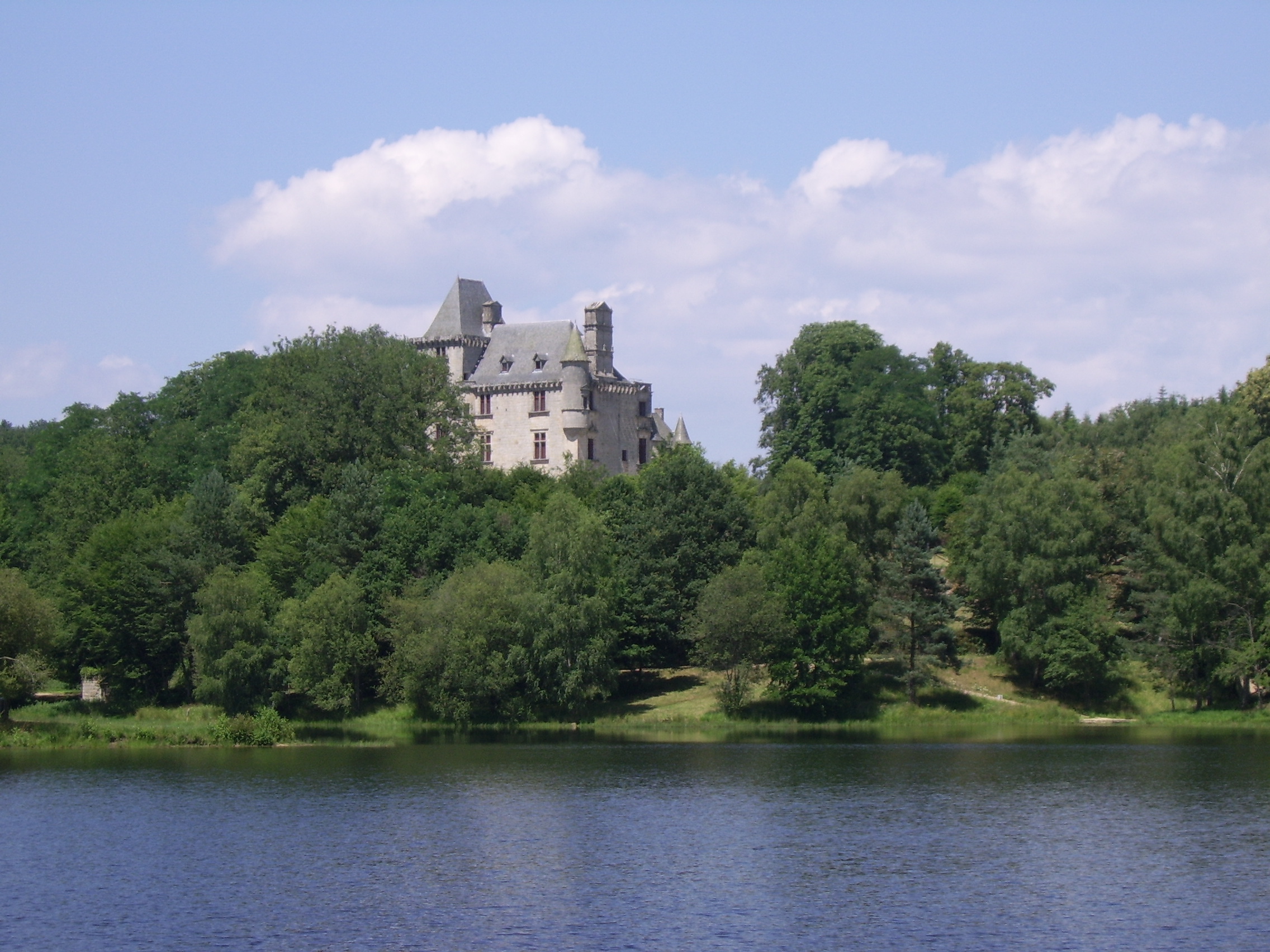
France > Nouvelle-Aquitaine > Corrèze > Millevaches en Limousin Nature Park
Length
4km
Duration
1h30min
Elev gain
76m
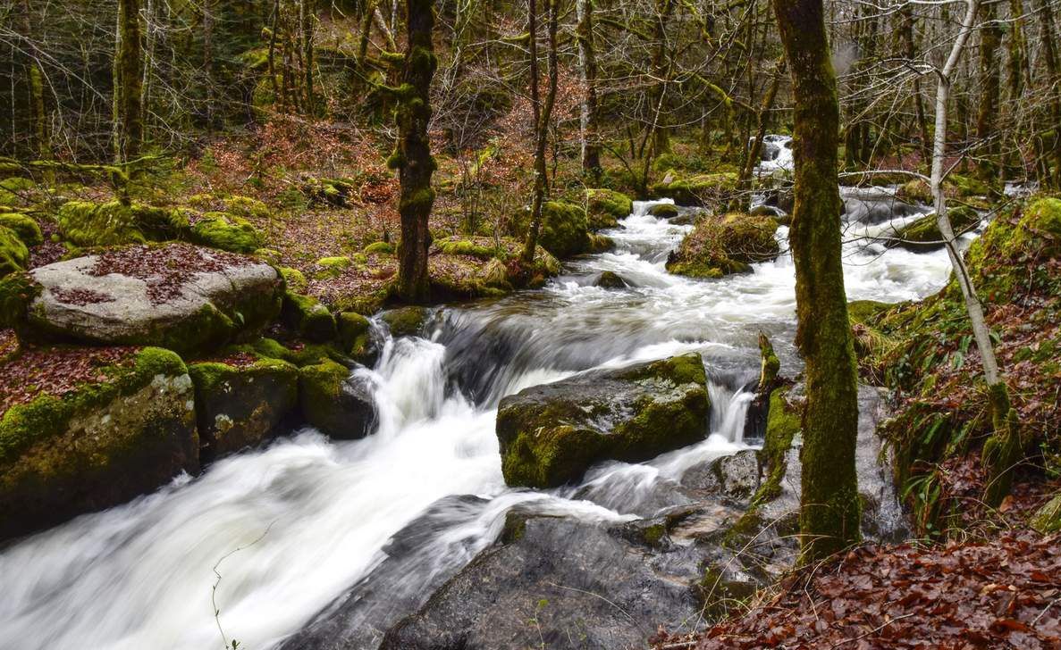
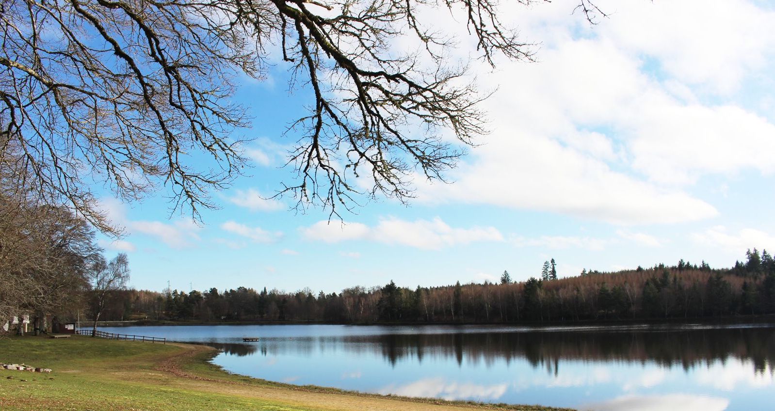
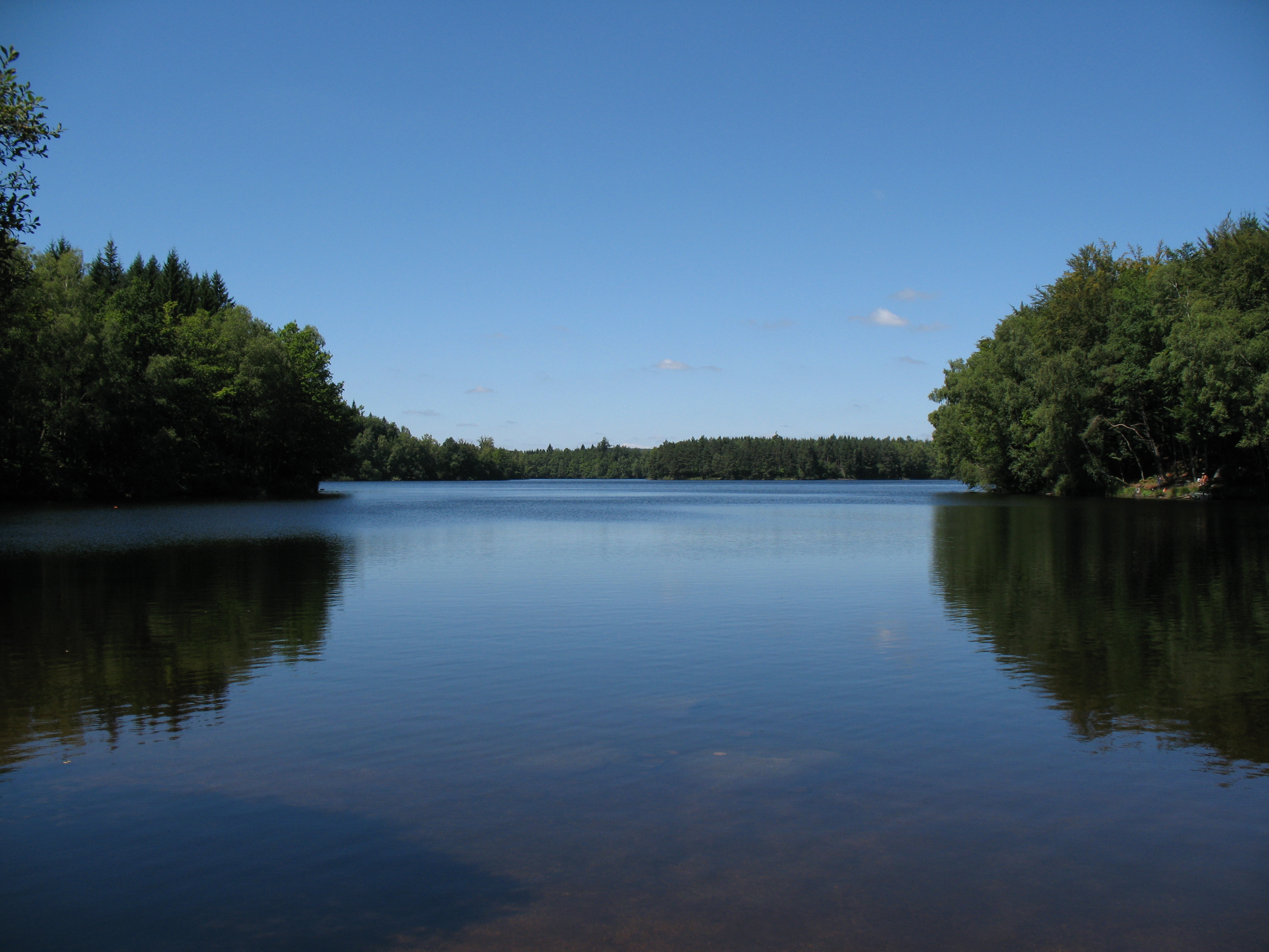
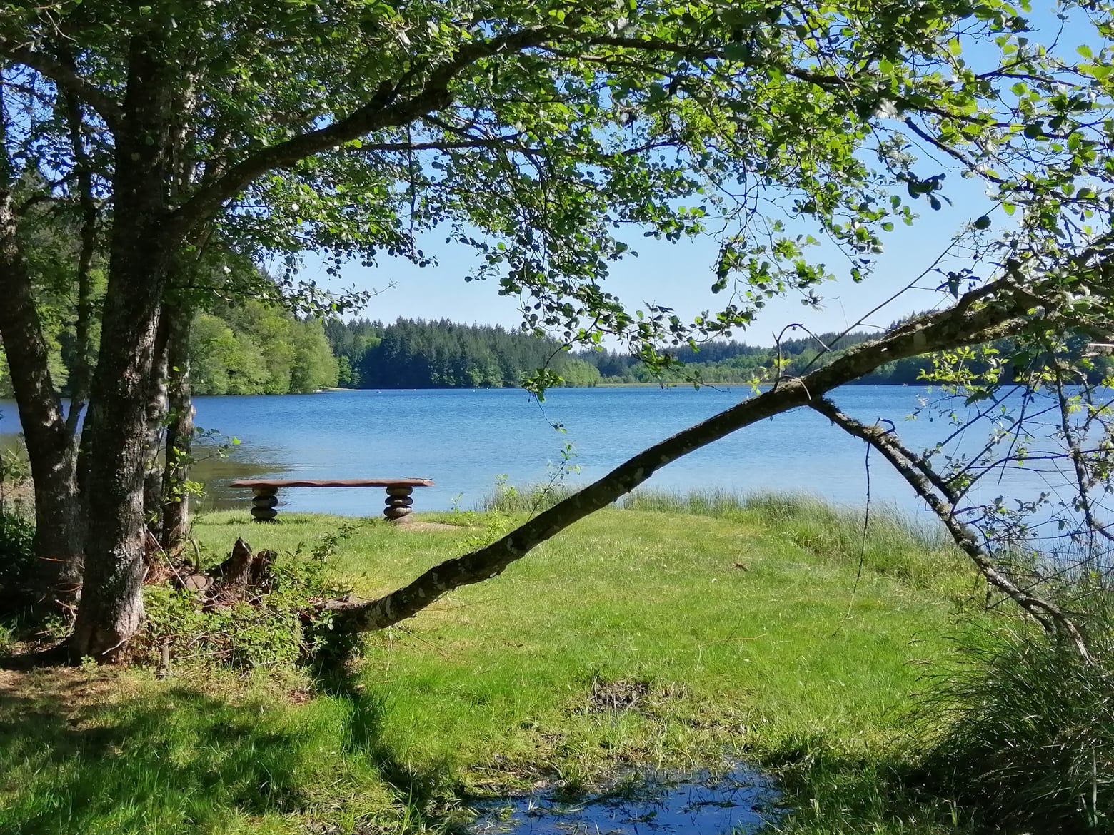
Short walk around the lake of Sèchemailles. The course evolves in undergrowth at the edge of the water, and offers the possibility of having something to eat halfway through, at the level of the leisure base.

Already more than 200,000 users!
Uphill
76m
Highest point
655m
Downhill
76m
Lowest point
615m
Route type
Loop
Download the map on your smartphone to save battery and rest assured to always keep access to the route, even without signal.
Includes IGN France and Swisstopo.
I indicate whether dogs are allowed or prohibited on this trail
All year
0 ratings
Also enjoy:

Already more than 200,000 users!