Uphill
42m
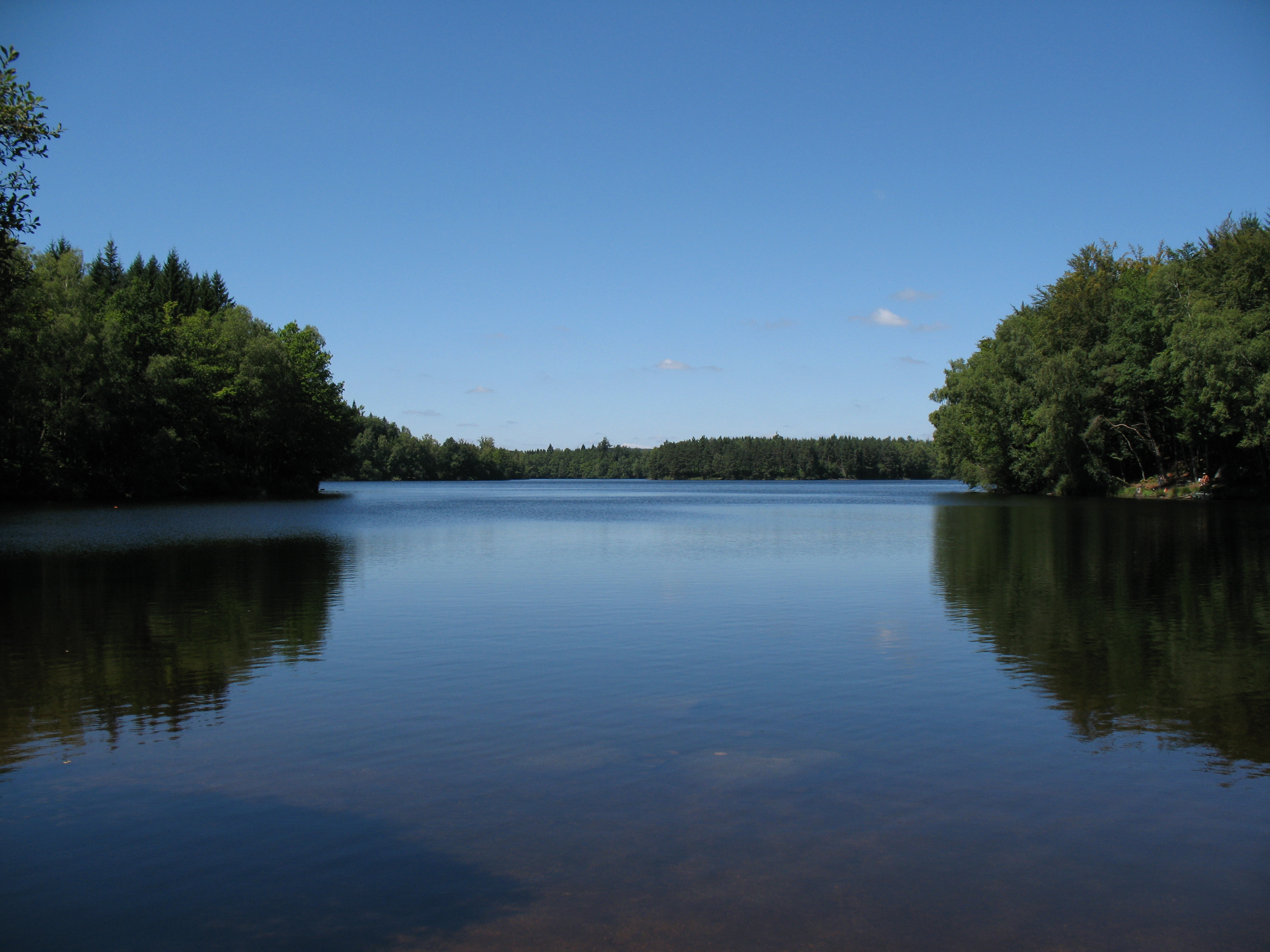
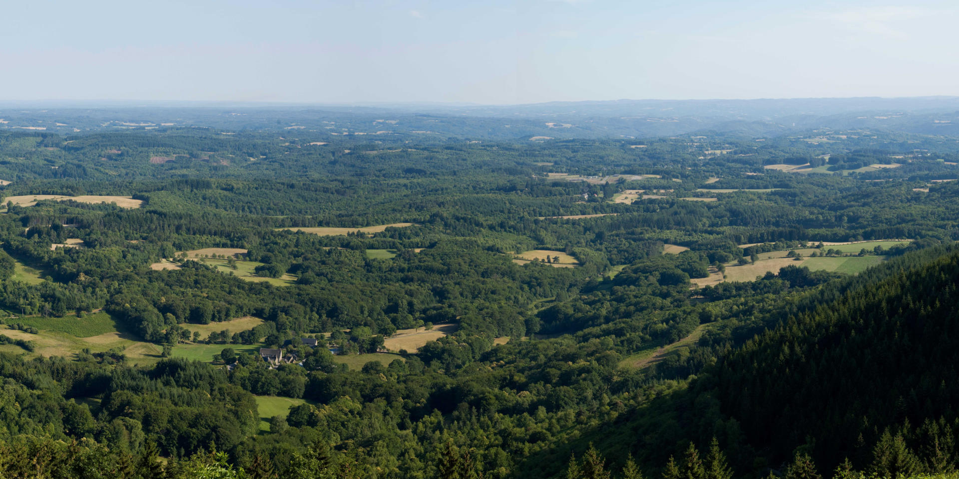
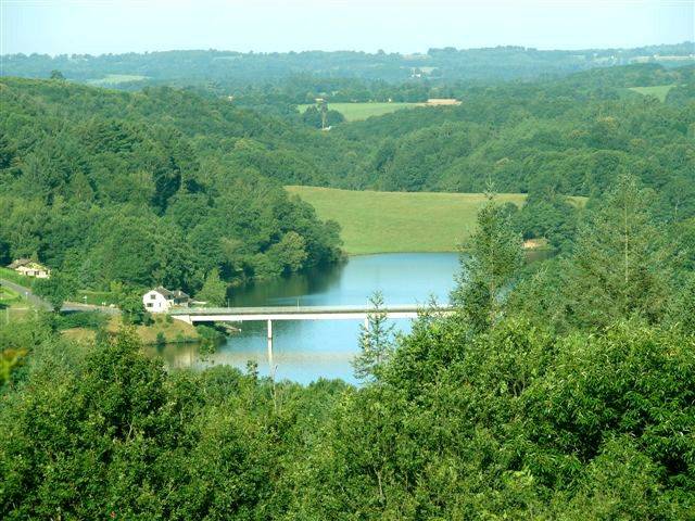
France > Nouvelle-Aquitaine > Creuse > Millevaches en Limousin Nature Park
Length
4km
Duration
1h
Elev gain
42m
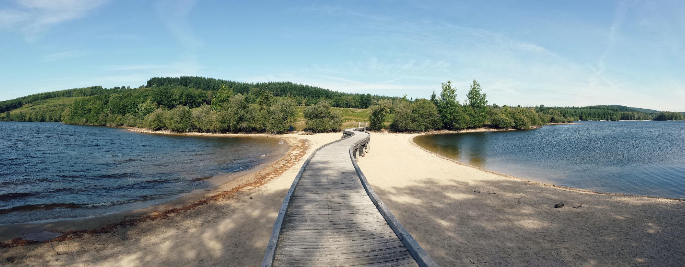
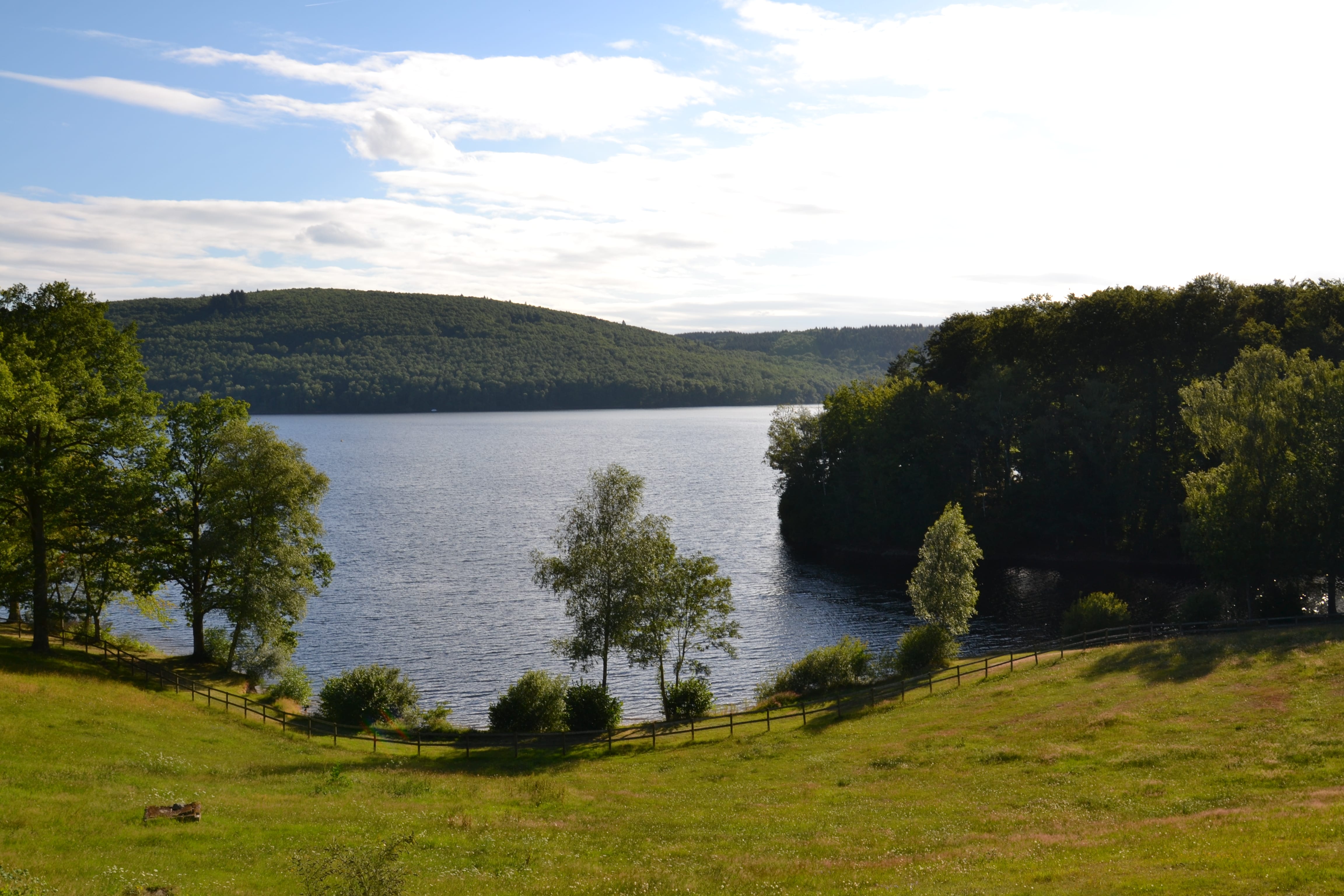
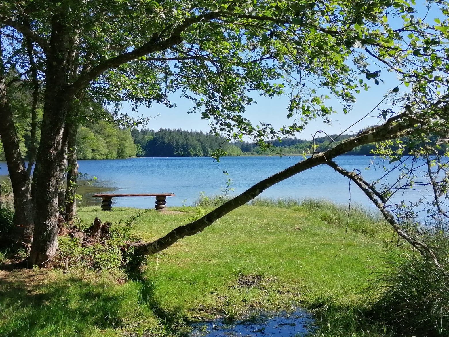
Here is a nice walk near Faux-la-Montagne. The course presents no difficulty and goes around the pretty Lac de Faux, all in a natural and pleasant setting.

Already more than 200,000 users!
Uphill
42m
Highest point
731m
Downhill
42m
Lowest point
701m
Route type
Loop
Download the map on your smartphone to save battery and rest assured to always keep access to the route, even without signal.
Includes IGN France and Swisstopo.
I indicate whether dogs are allowed or prohibited on this trail
All year
0 ratings
Also enjoy:

Already more than 200,000 users!