Uphill
105m
France > Nouvelle-Aquitaine > Creuse > Millevaches en Limousin Nature Park
Length
7km
Duration
2h
Elev gain
105m
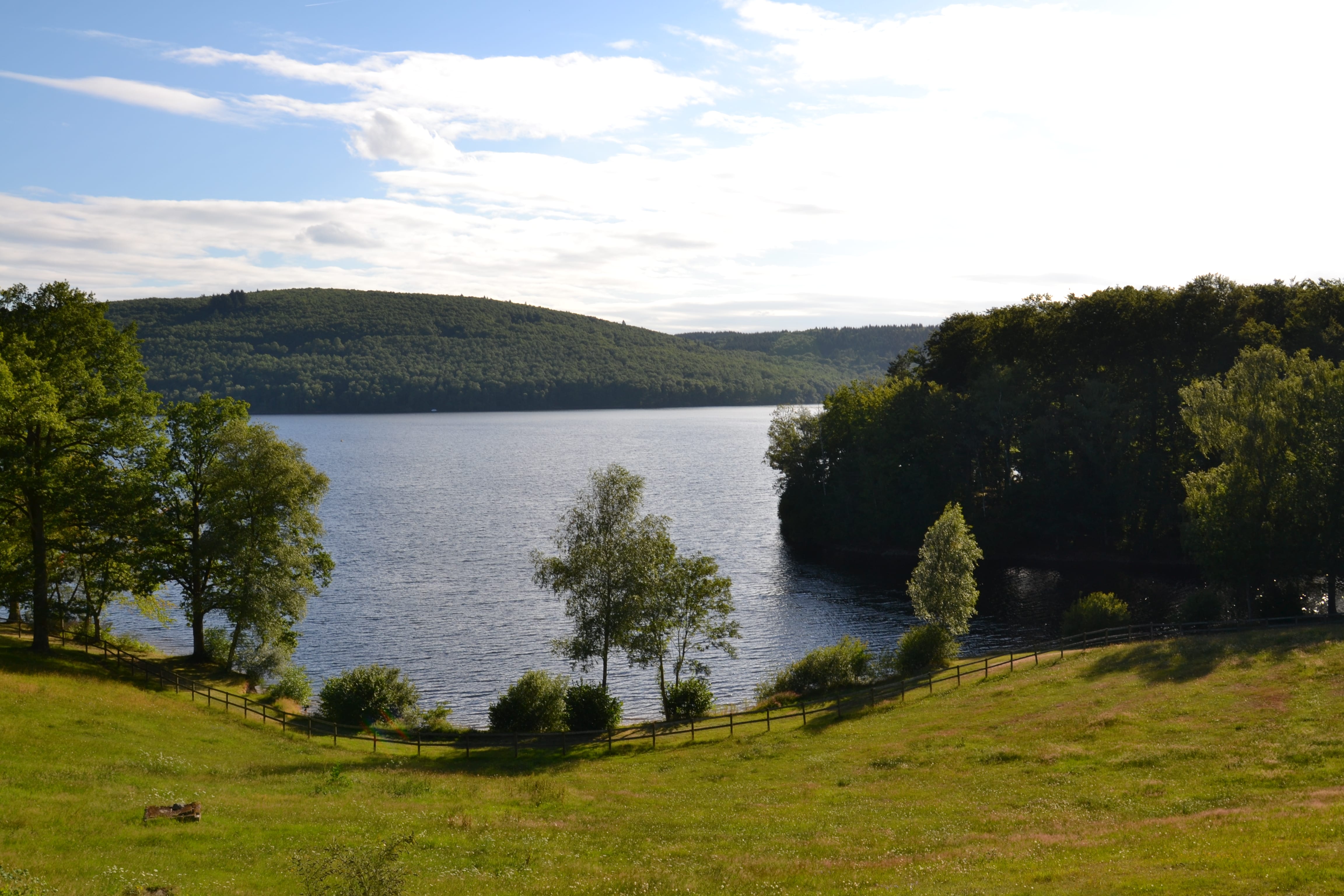
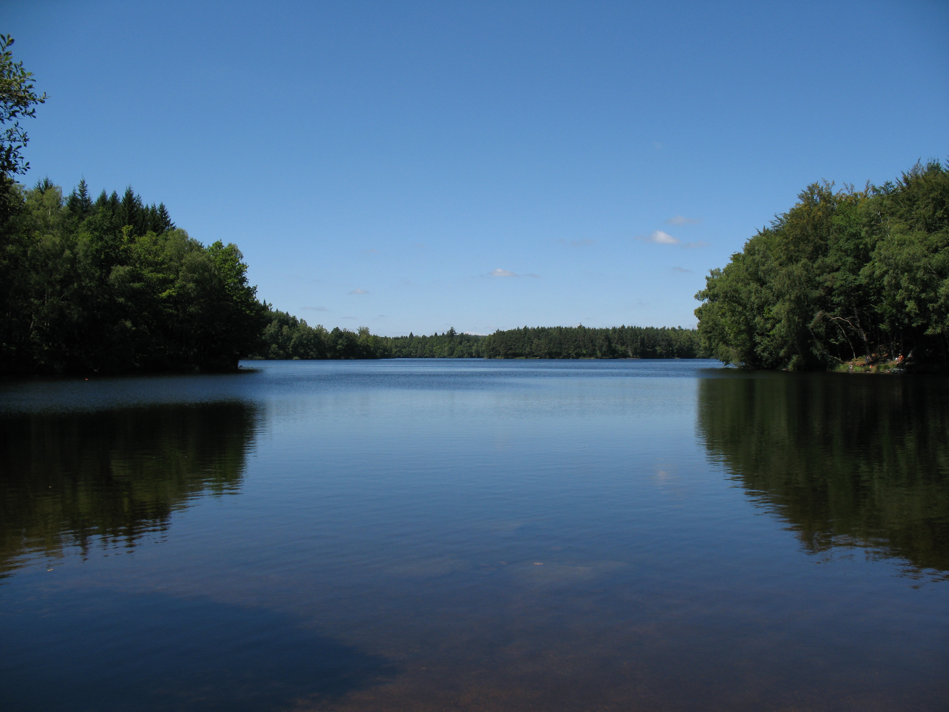
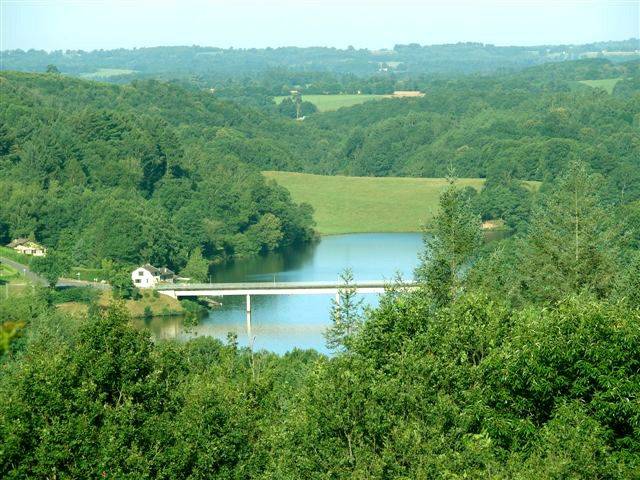
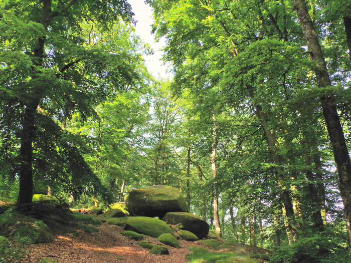
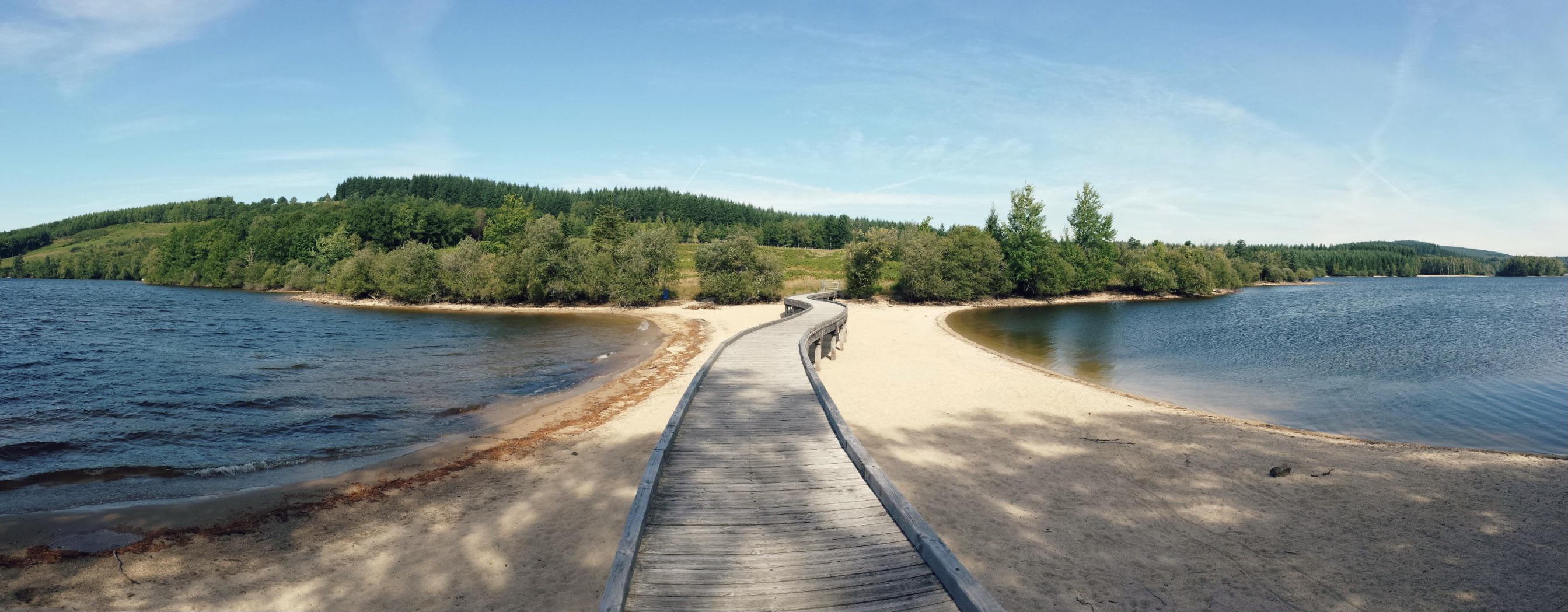
Pretty hike south of Royère-de-Vassivière, on the heights of Lac de Vassivière. The course loops on a shaded path and offers great views of the lake.

Already more than 200,000 users!
Uphill
105m
Highest point
706m
Downhill
105m
Lowest point
644m
Route type
Loop
Download the map on your smartphone to save battery and rest assured to always keep access to the route, even without signal.
Includes IGN France and Swisstopo.
I indicate whether dogs are allowed or prohibited on this trail
All year
0 ratings
Also enjoy:

Already more than 200,000 users!