Uphill
134m
Length
4km
Duration
1h30min
Elev gain
134m
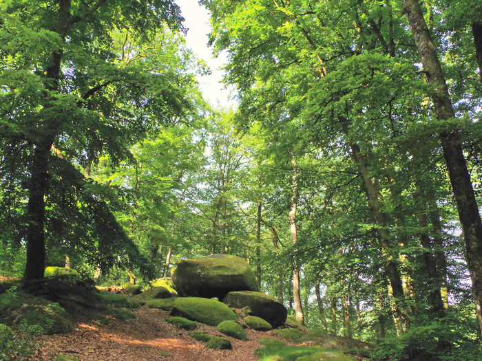
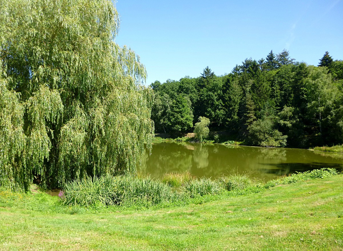
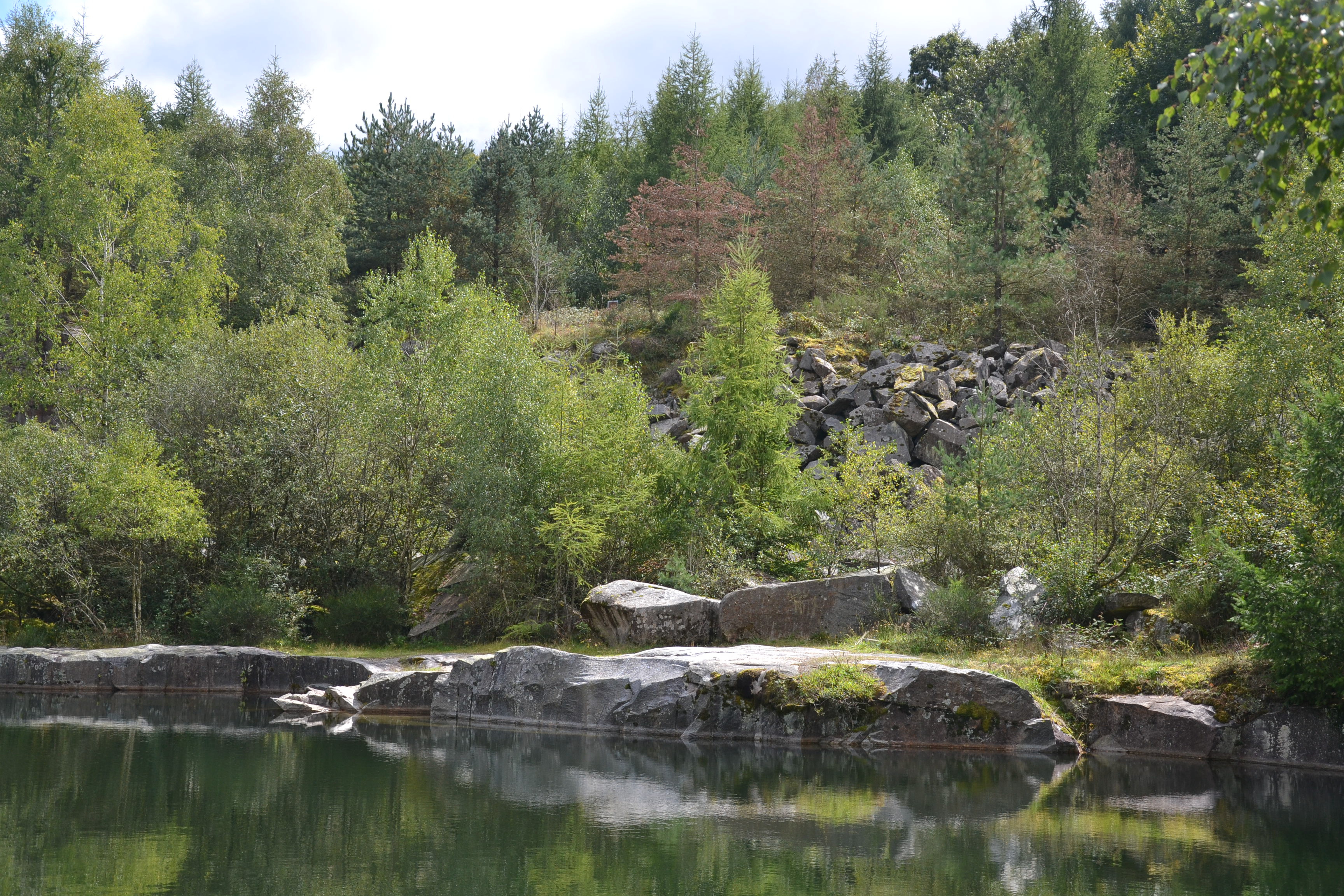
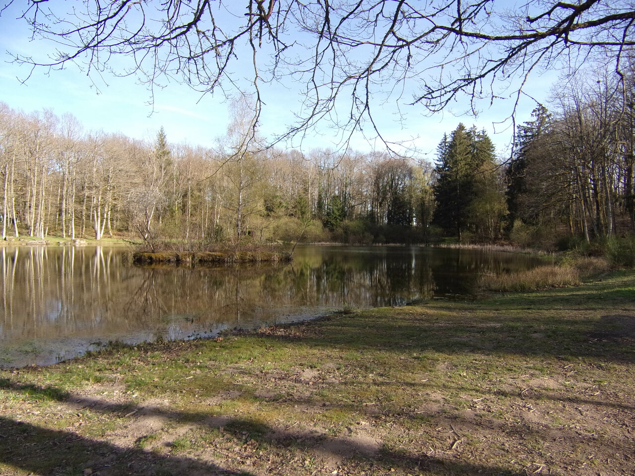
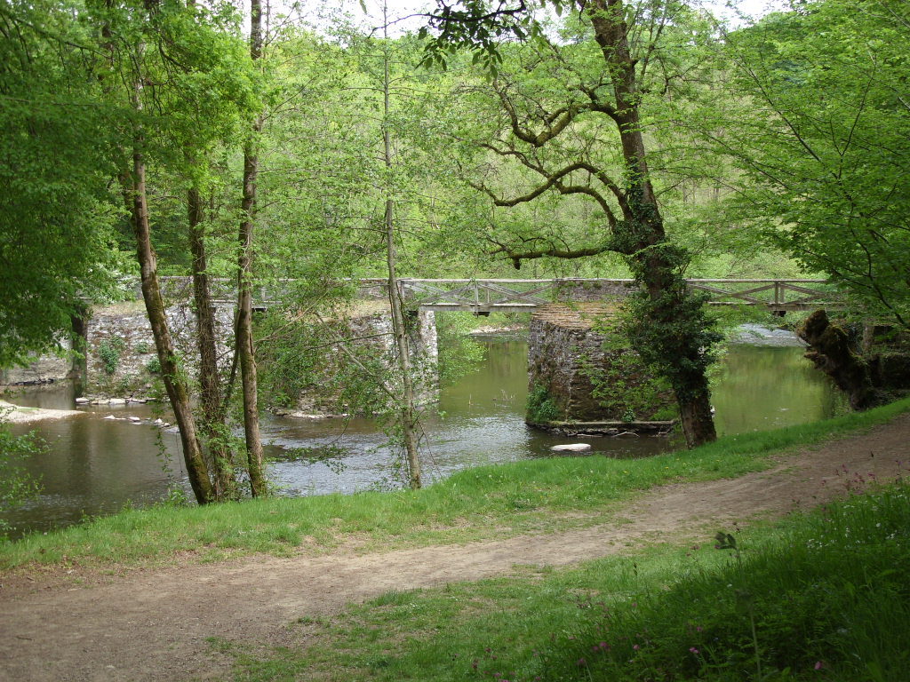
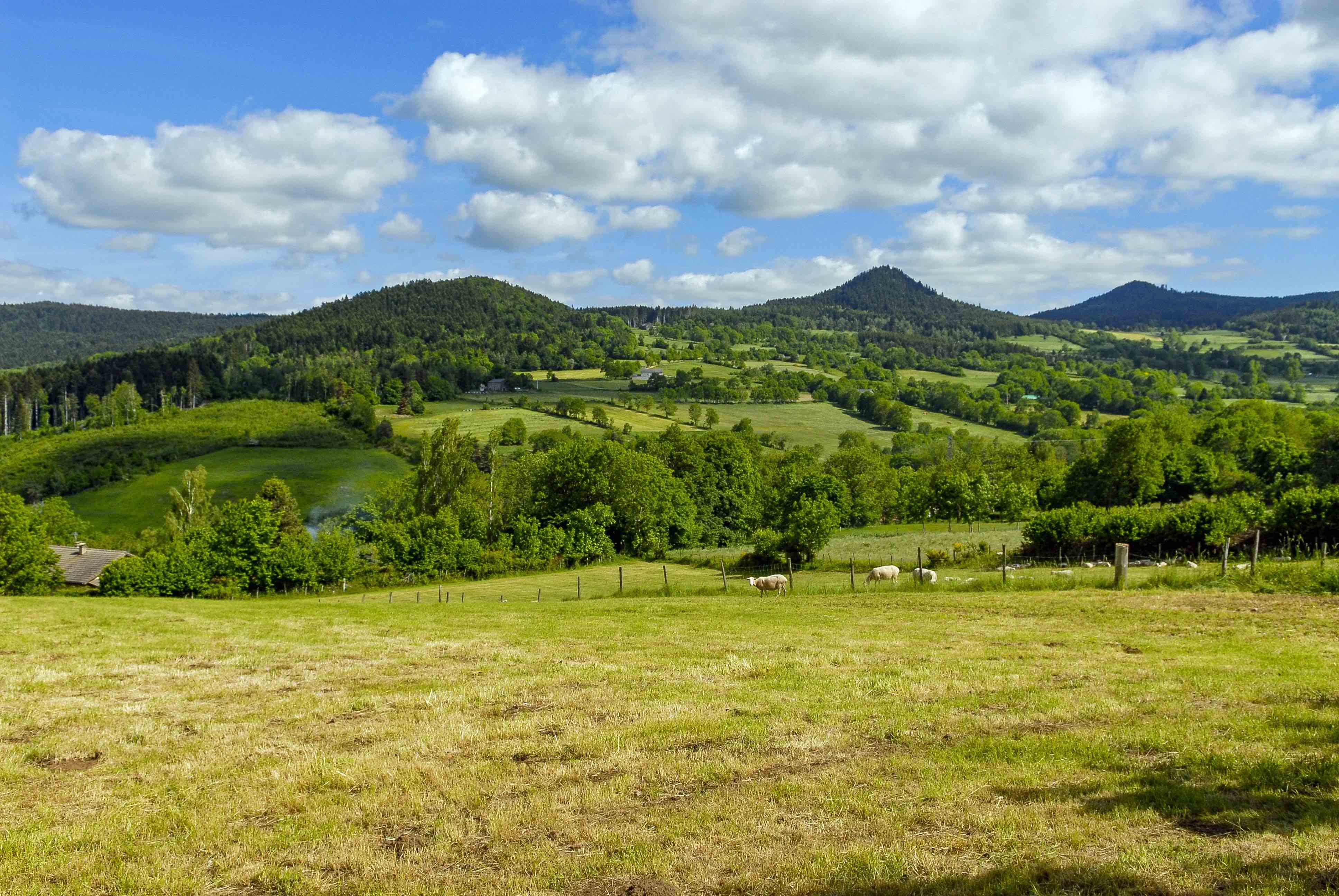
Nice walk from the Bains d'en Haut, south of Guéret. The route makes a loop and goes up to the Puy de Gaudy, where the view is very beautiful, before returning to the starting point.

Already more than 200,000 users!
Uphill
134m
Highest point
645m
Downhill
134m
Lowest point
521m
Route type
Loop
Download the map on your smartphone to save battery and rest assured to always keep access to the route, even without signal.
Includes IGN France and Swisstopo.
I indicate whether dogs are allowed or prohibited on this trail
All year
0 ratings
Also enjoy:

Already more than 200,000 users!