Uphill
207m
Length
9km
Duration
3h
Elev gain
207m
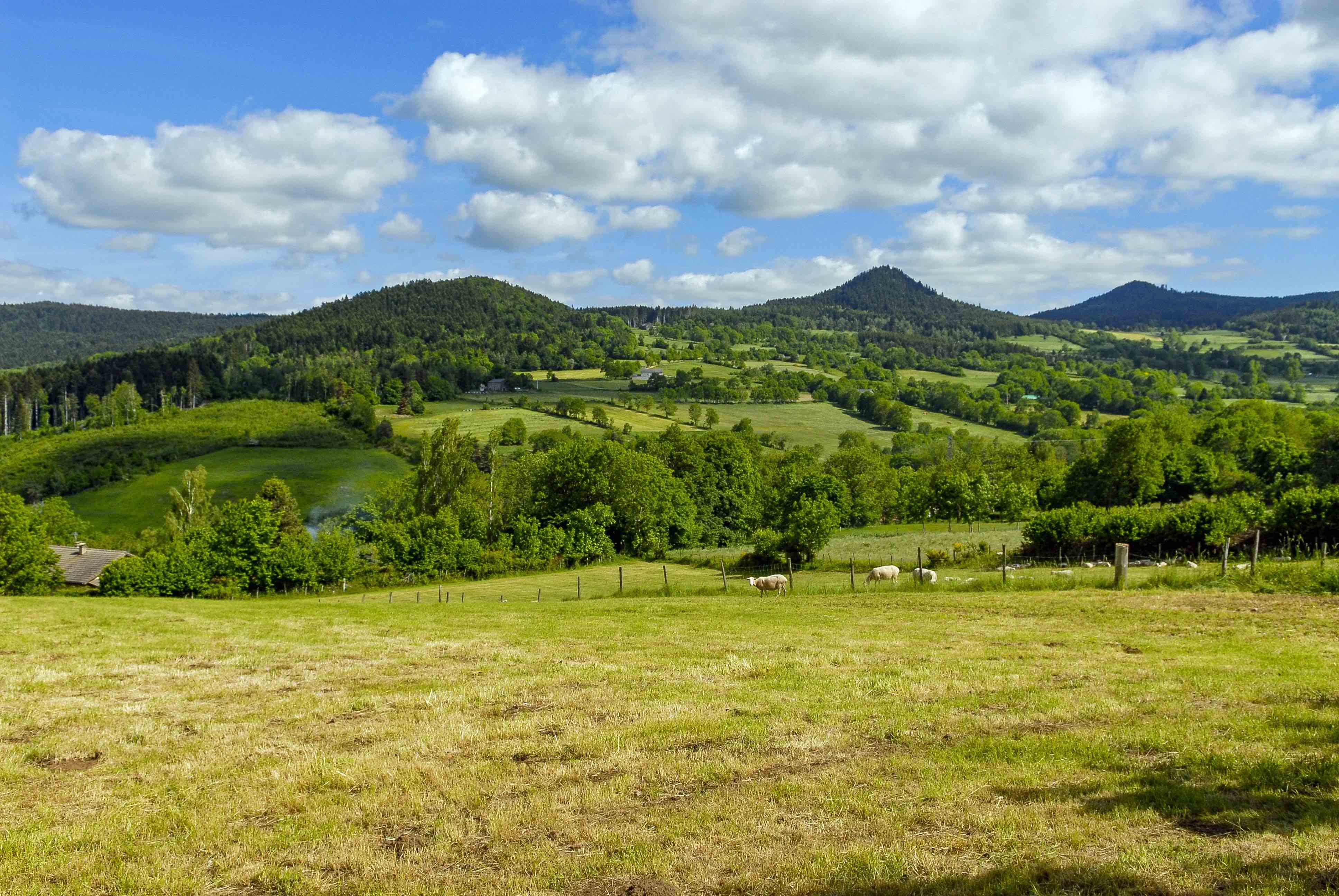
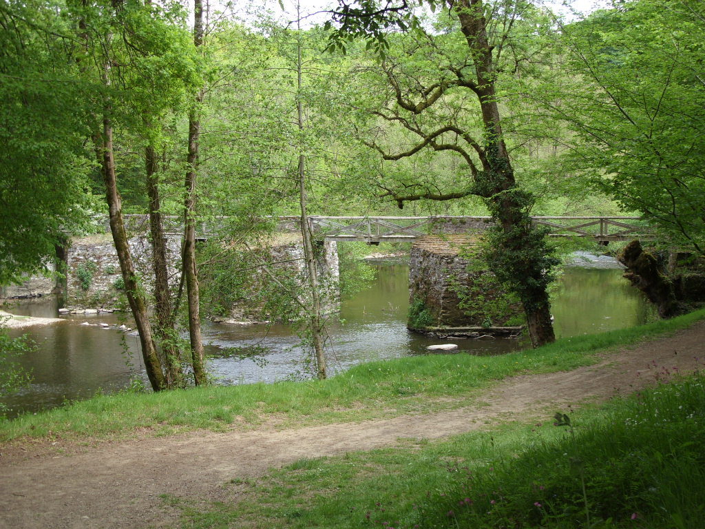
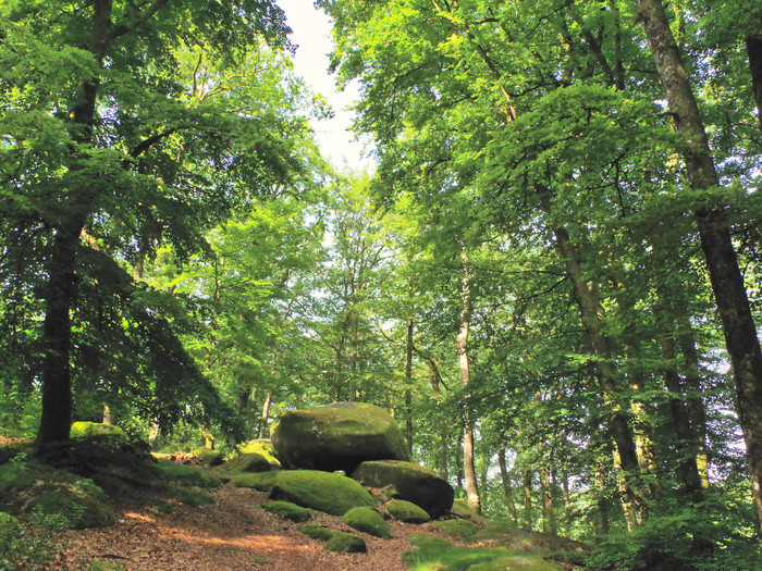
Nice hike around the Puy de Chiroux, near Guéret. The route follows wide paths and takes a little height, in order to offer pretty views of the surroundings.

Already more than 200,000 users!
Uphill
207m
Highest point
683m
Downhill
207m
Lowest point
535m
Route type
Loop
Download the map on your smartphone to save battery and rest assured to always keep access to the route, even without signal.
Includes IGN France and Swisstopo.
I indicate whether dogs are allowed or prohibited on this trail
All year
0 ratings
Also enjoy:

Already more than 200,000 users!