Uphill
237m
Length
13km
Duration
4h
Elev gain
237m
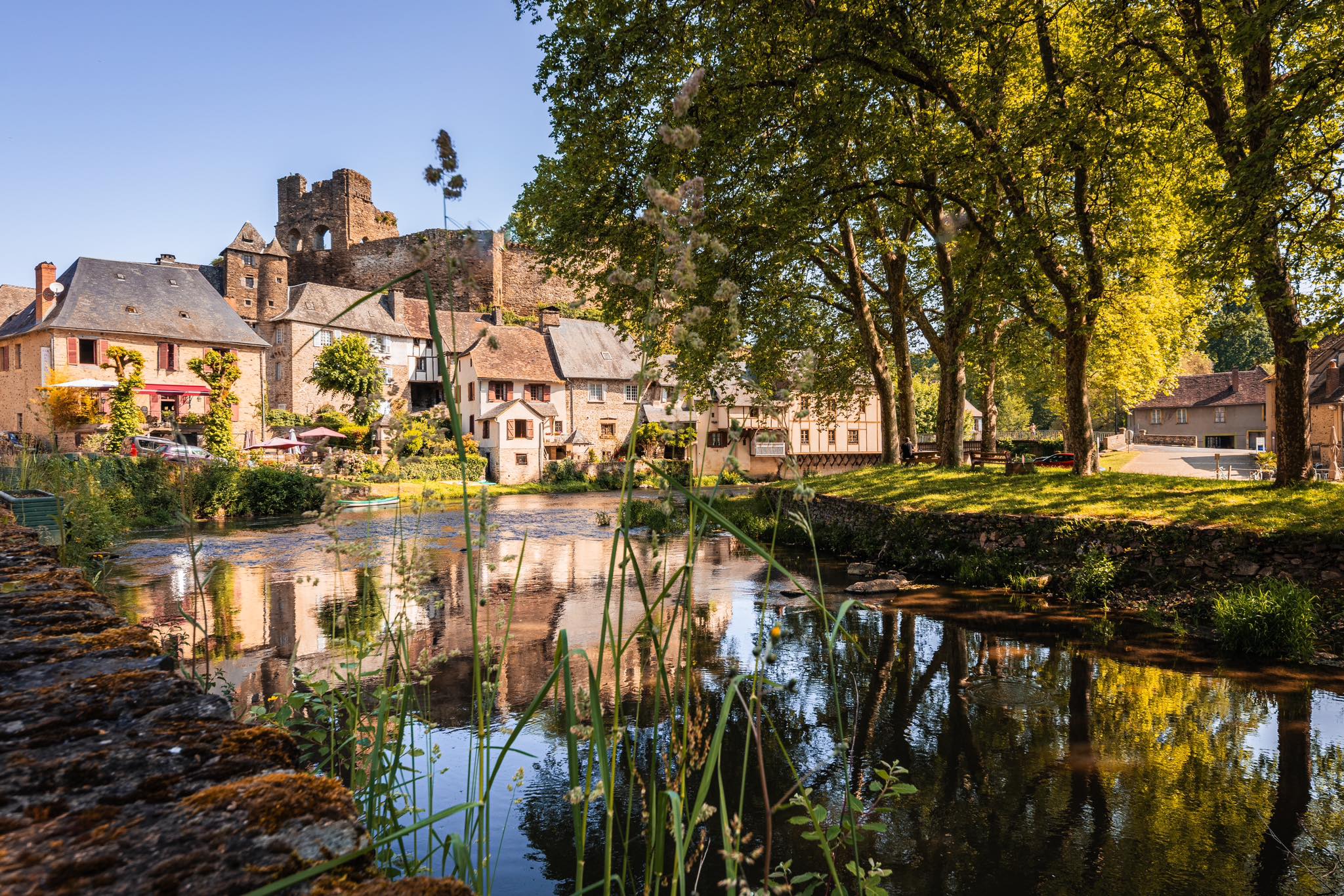
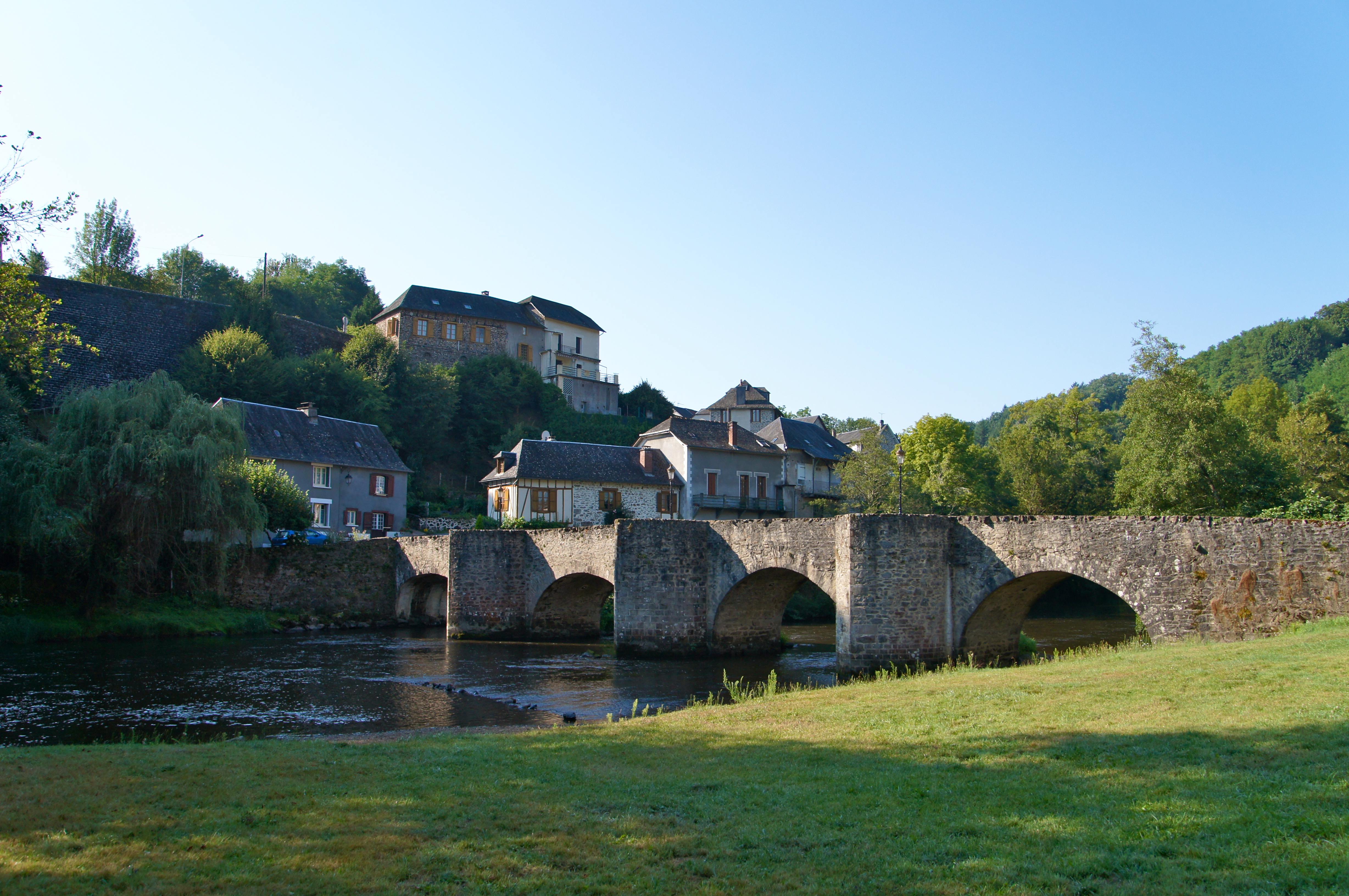
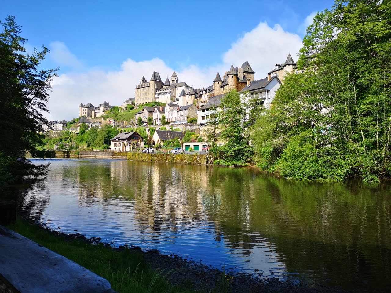
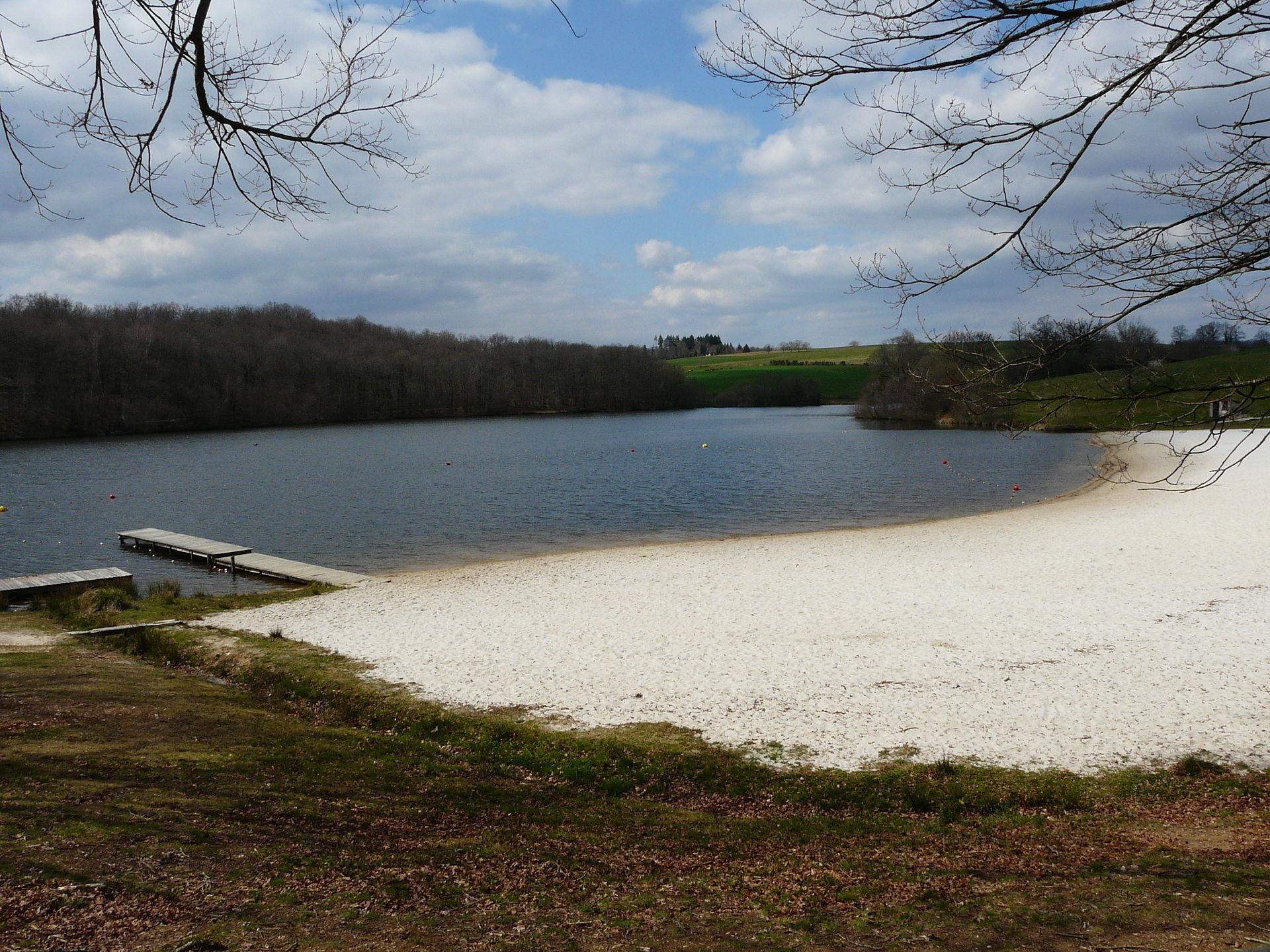
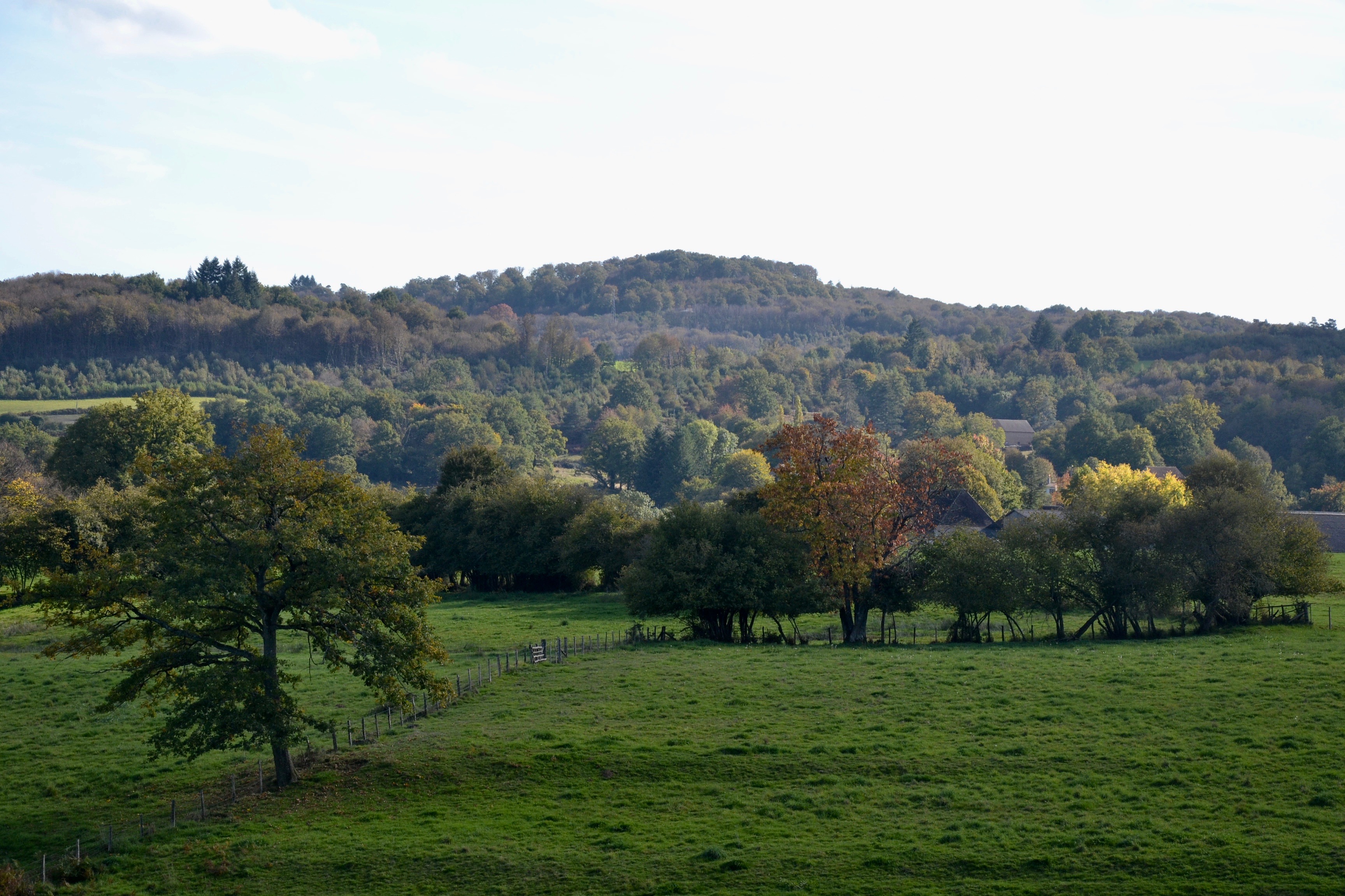
Departing from La Croix-Saint-Martial, this beautiful hike makes a loop in the surroundings. The route alternates between undergrowth and clearer passages and returns to the starting point via the Puy de Bar path.

Already more than 200,000 users!
Uphill
237m
Highest point
508m
Downhill
237m
Lowest point
406m
Route type
Loop
Download the map on your smartphone to save battery and rest assured to always keep access to the route, even without signal.
Includes IGN France and Swisstopo.
I indicate whether dogs are allowed or prohibited on this trail
All year
0 ratings
Also enjoy:

Already more than 200,000 users!