Uphill
93m
Length
7km
Duration
2h
Elev gain
93m
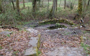
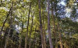
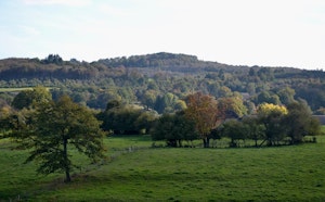
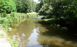
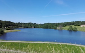
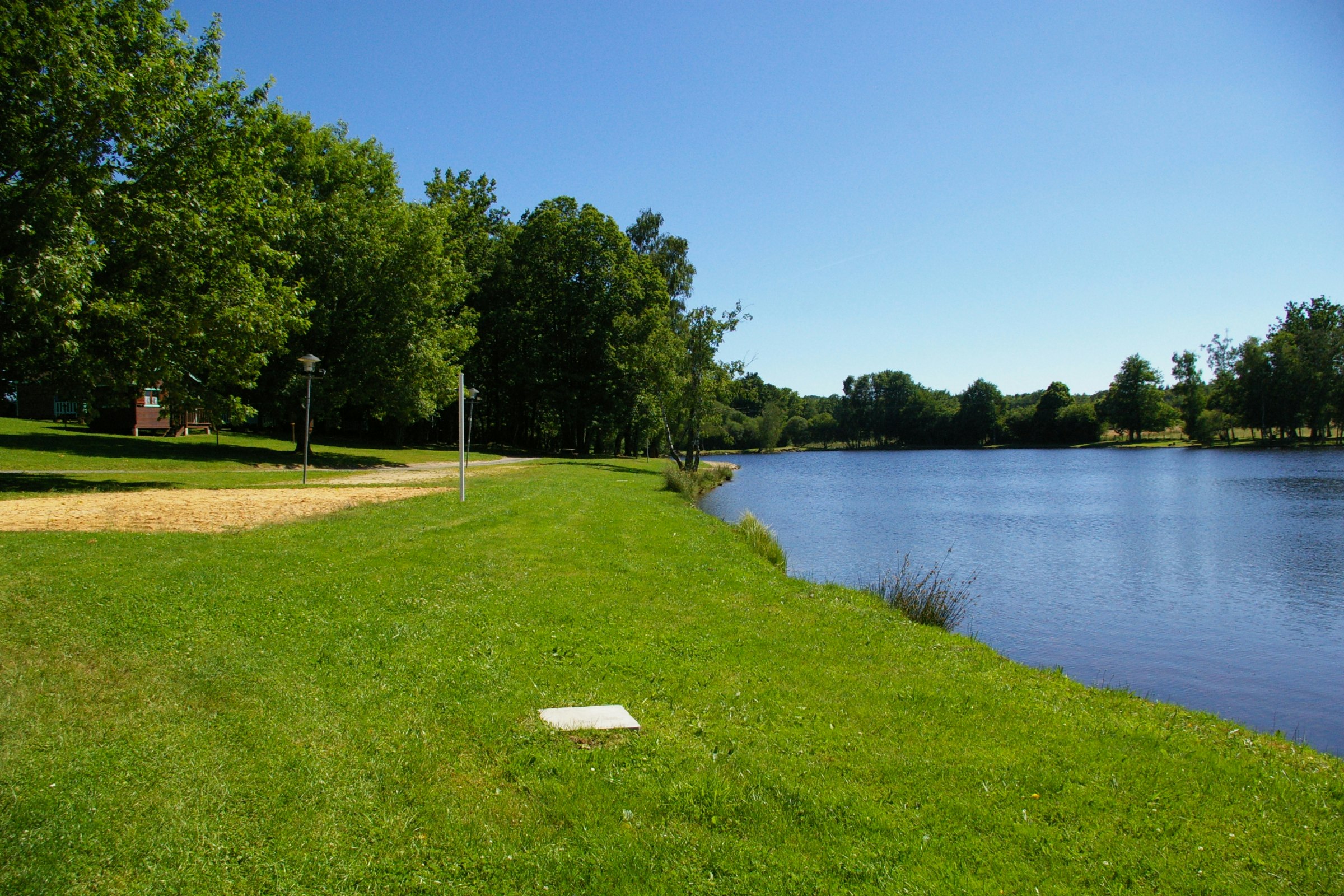
Pleasant hike on the Nexon side, starting from the Lande pond. This looped route sets out to discover the natural and architectural heritage of the surrounding villages, where well-decorated gardens and ponds are the order of the day.

Already more than 200,000 users!
Uphill
93m
Highest point
434m
Downhill
93m
Lowest point
371m
Route type
Loop
Download the map on your smartphone to save battery and rest assured to always keep access to the route, even without signal.
Includes IGN France and Swisstopo.
I indicate whether dogs are allowed or prohibited on this trail
All year
0 ratings
Also enjoy:

Already more than 200,000 users!