Uphill
230m
France > Nouvelle-Aquitaine > Haute-Vienne > Périgord-Limousin Nature Park
Length
9km
Duration
3h
Elev gain
230m
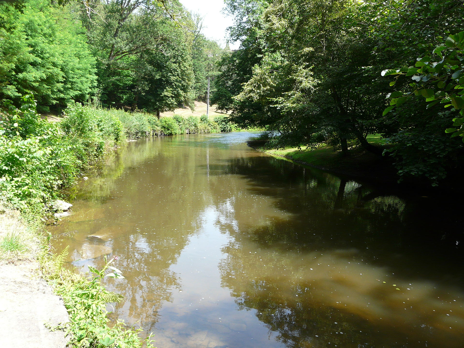
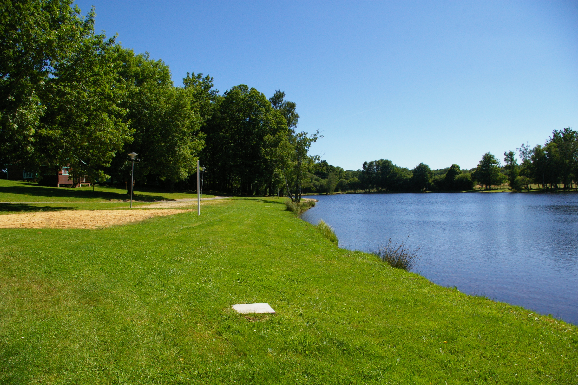
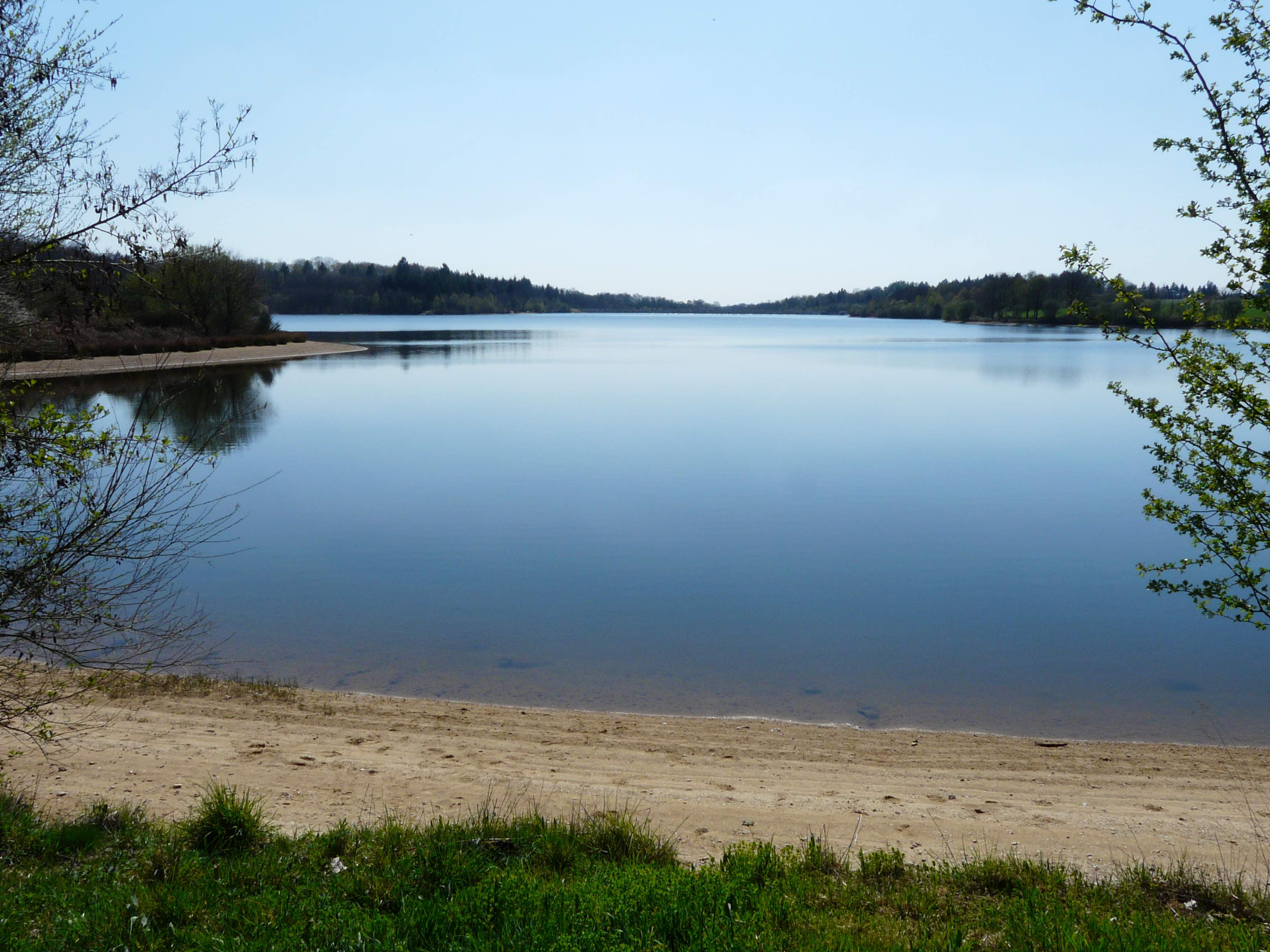
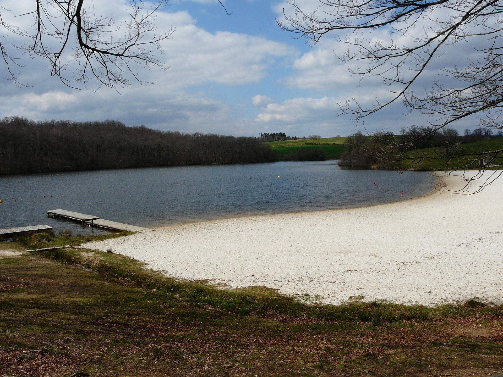
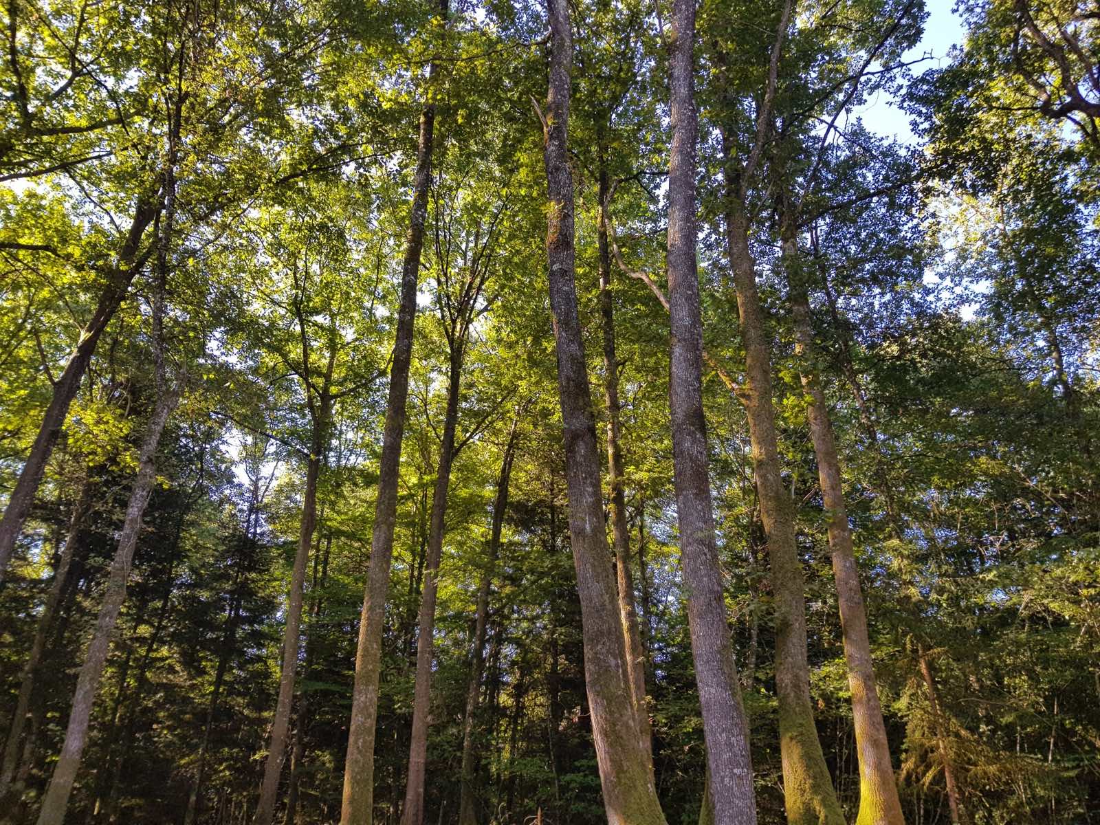
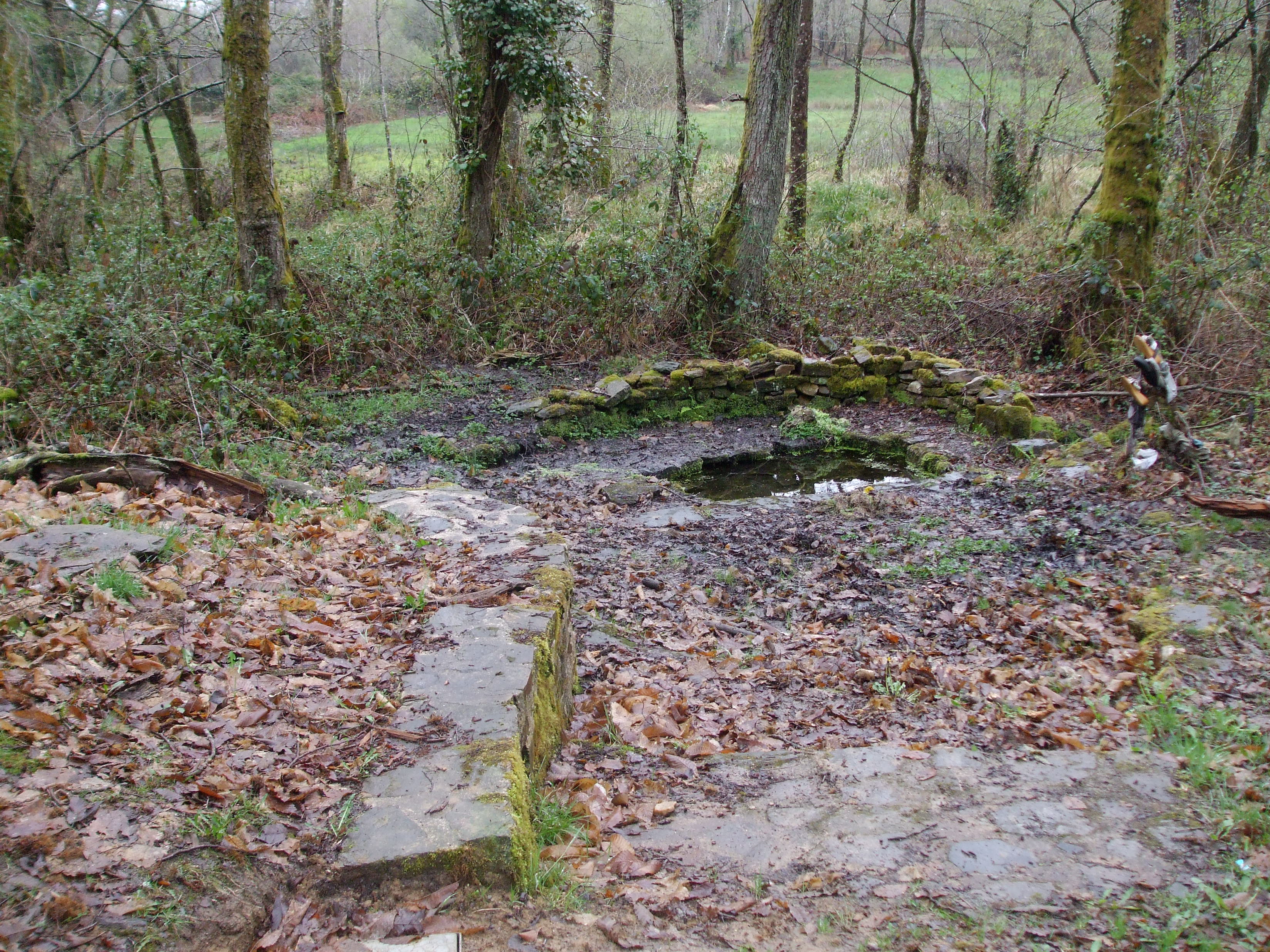
Starting from the village of Saint-Nicolas-Courbefy, this hike makes a nice loop in the country of the feuillardiers. Between the Bois de Rétabout and the crossing of the hamlet of Courbefy, abandoned since the 2000s, this route sets out to discover the "good fountains", places of worship that are found in large numbers in Limousin.

Already more than 200,000 users!
Uphill
230m
Highest point
537m
Downhill
230m
Lowest point
372m
Route type
Loop
Download the map on your smartphone to save battery and rest assured to always keep access to the route, even without signal.
Includes IGN France and Swisstopo.
I indicate whether dogs are allowed or prohibited on this trail
All year
1 rating
Also enjoy:

Already more than 200,000 users!