Uphill
42m
Length
4km
Duration
1h
Elev gain
42m
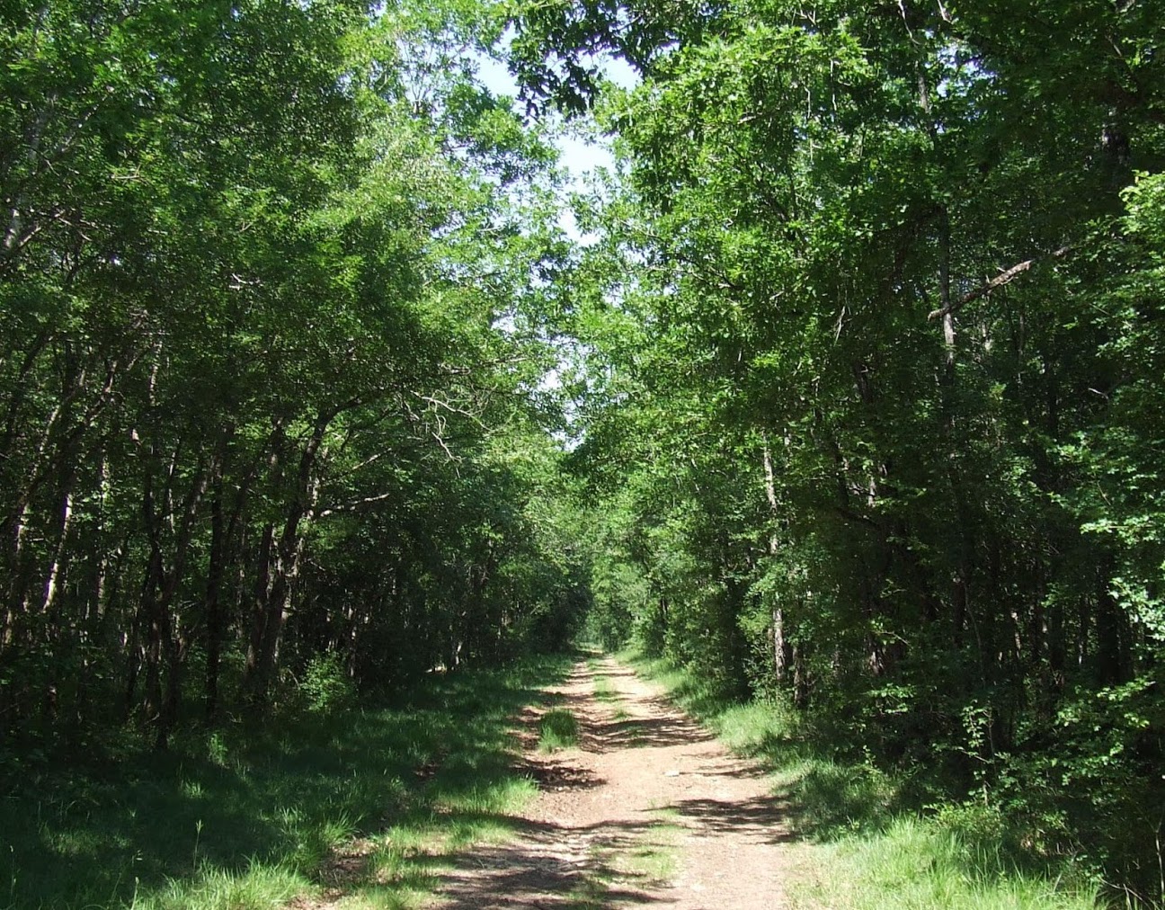
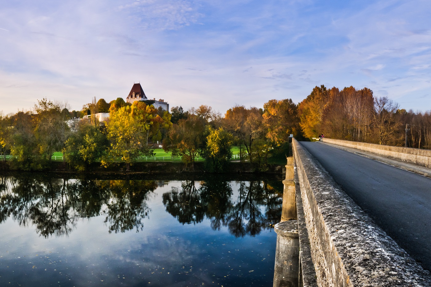
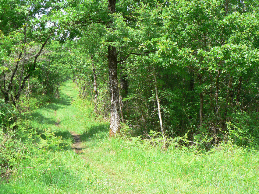
Short walk located south of La Couronne. The route makes a short loop on a pretty forest path, and allows you to fill up with fresh air in a pleasant and charming nature.

Already more than 200,000 users!
Uphill
42m
Highest point
143m
Downhill
42m
Lowest point
90m
Route type
Loop
Download the map on your smartphone to save battery and rest assured to always keep access to the route, even without signal.
Includes IGN France and Swisstopo.
I indicate whether dogs are allowed or prohibited on this trail
All year
1 rating
Also enjoy:

Already more than 200,000 users!