Uphill
61m
Length
3km
Duration
1h
Elev gain
61m
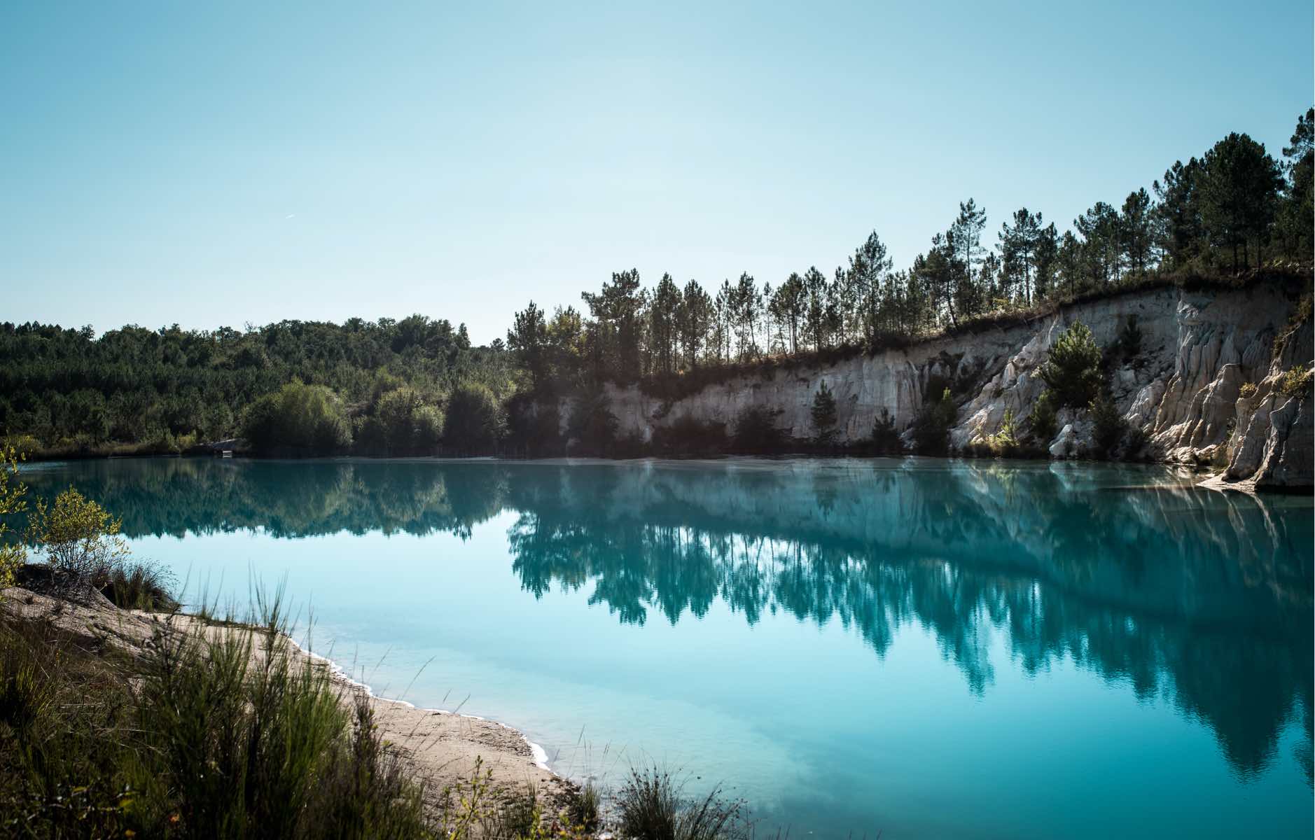
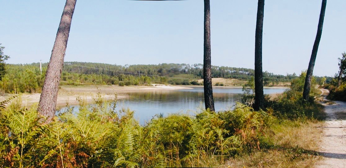
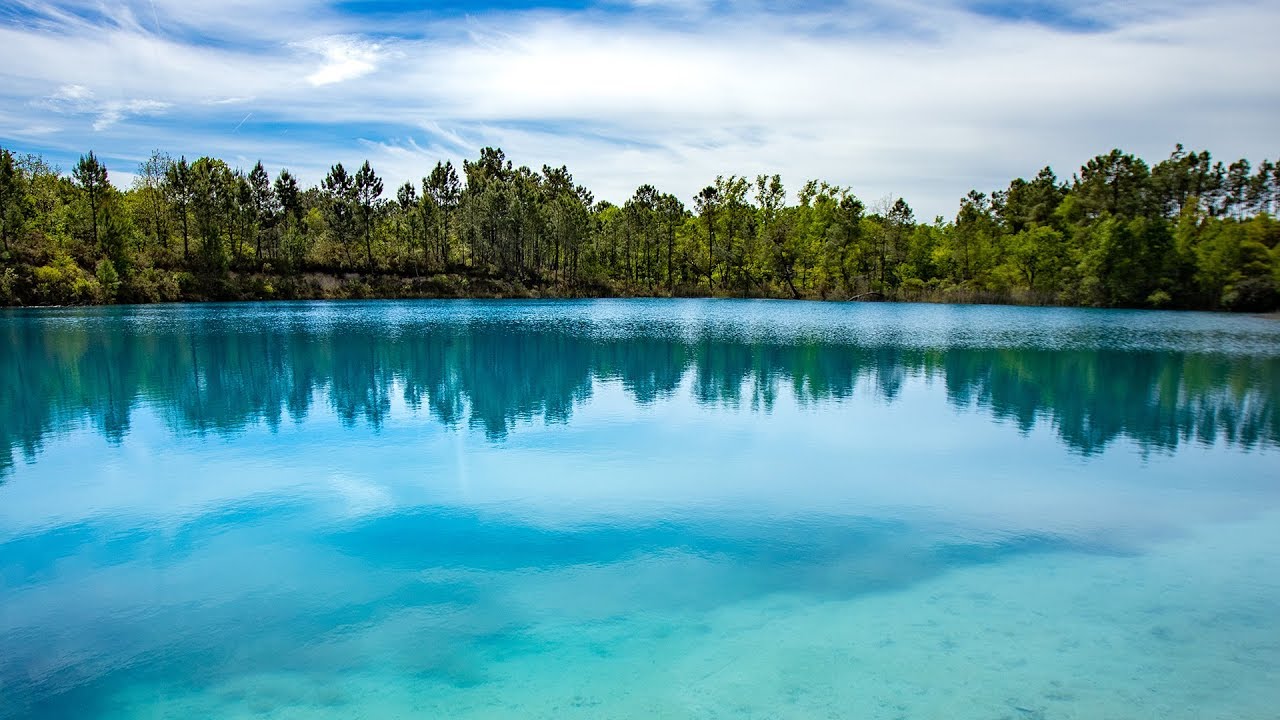
Superb walk located east of Touverac. The route makes a loop around two very beautiful lakes with turquoise water, in the heart of a peaceful and relaxing natural environment.

Already more than 200,000 users!
Uphill
61m
Highest point
136m
Downhill
61m
Lowest point
88m
Route type
Loop
Download the map on your smartphone to save battery and rest assured to always keep access to the route, even without signal.
Includes IGN France and Swisstopo.
I indicate whether dogs are allowed or prohibited on this trail
All year
2 ratings
Magnifique, vaut l'effort, suivre les flèches vertes , non accessible aux poussettes ( ni PMR ) car beaucoup d'escalier !
Also enjoy:

Already more than 200,000 users!