Uphill
134m
Length
11km
Duration
3h
Elev gain
134m
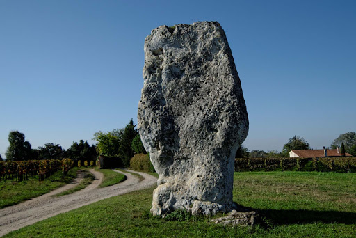
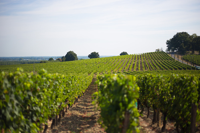
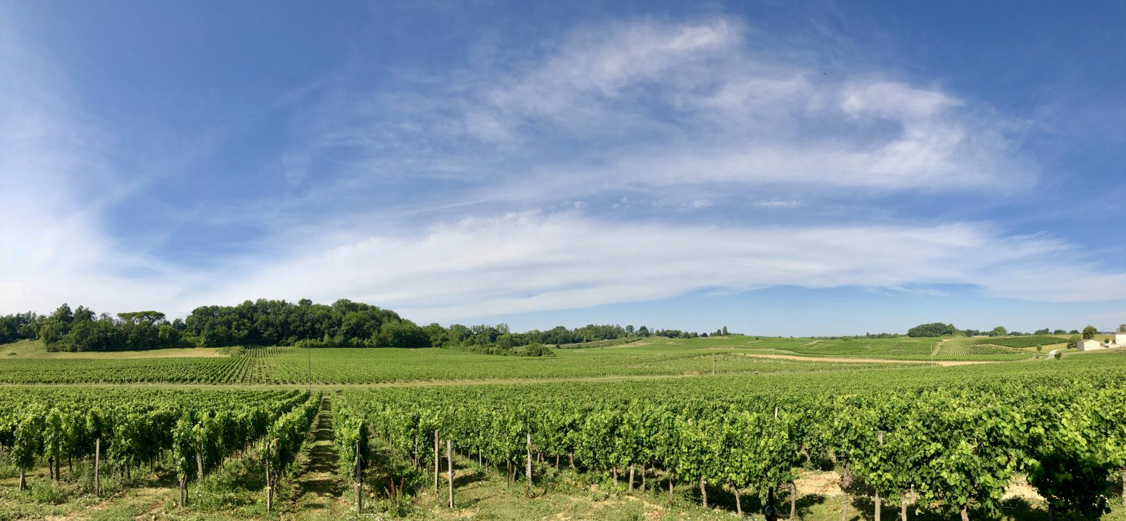
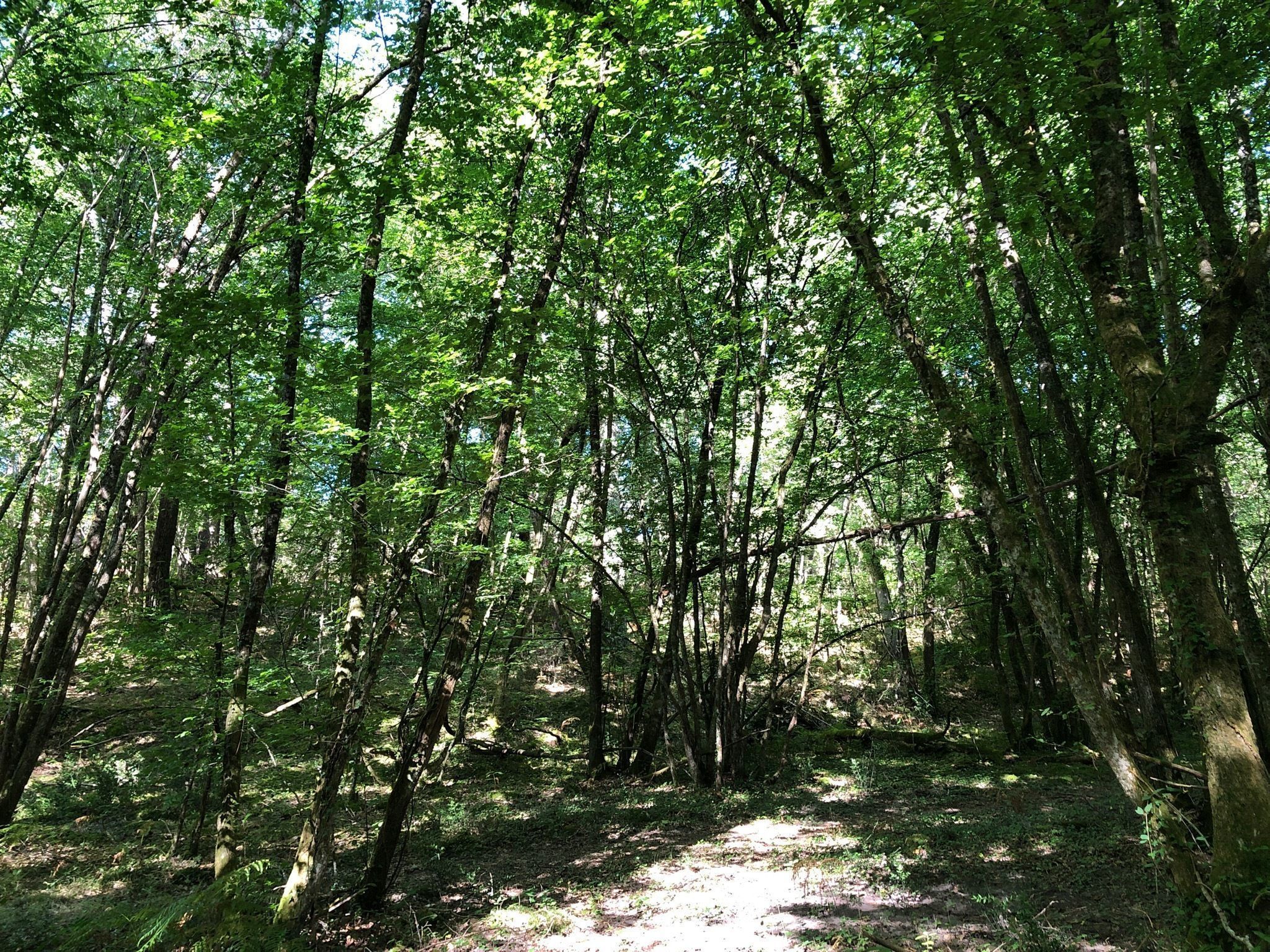
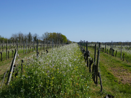
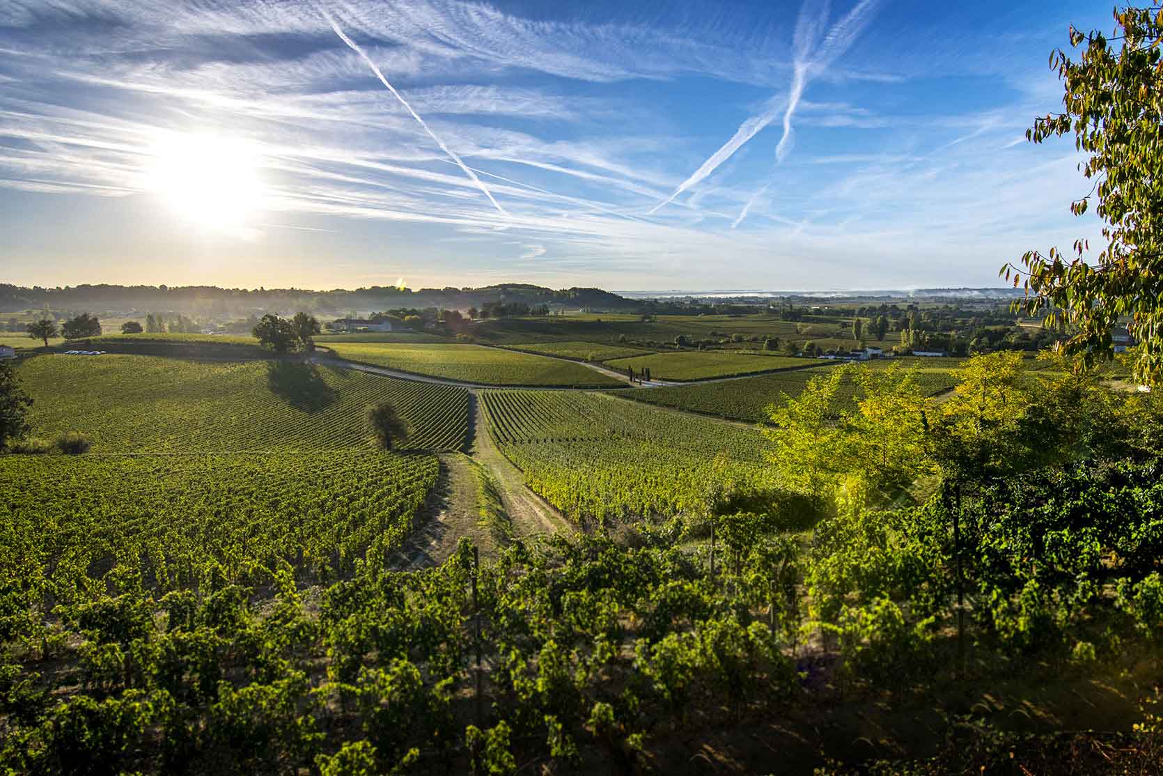
This trails winds through the vineyards for which the region is famous, allowing you to see a few castles and appreciate a nice viewpoint over the medieval city of Saint-Émilion.

Already more than 200,000 users!
Uphill
134m
Highest point
97m
Downhill
134m
Lowest point
29m
Route type
Loop
Download the map on your smartphone to save battery and rest assured to always keep access to the route, even without signal.
Includes IGN France and Swisstopo.
I indicate whether dogs are allowed or prohibited on this trail
All year
2 ratings
Also enjoy:

Already more than 200,000 users!