Uphill
348m
Length
16km
Duration
5h
Elev gain
348m
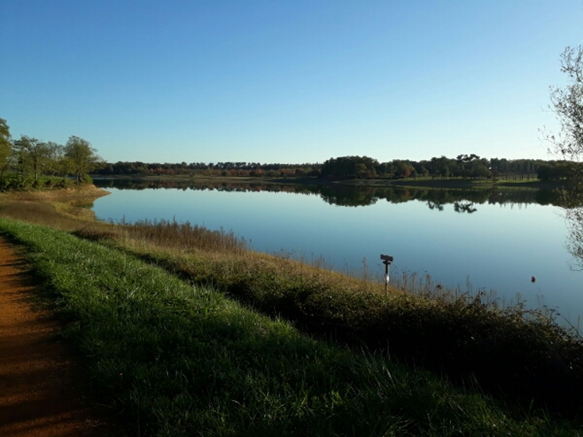
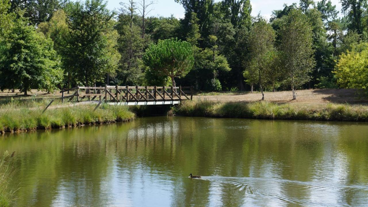
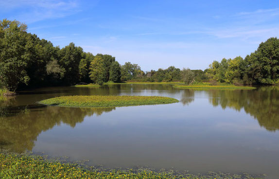
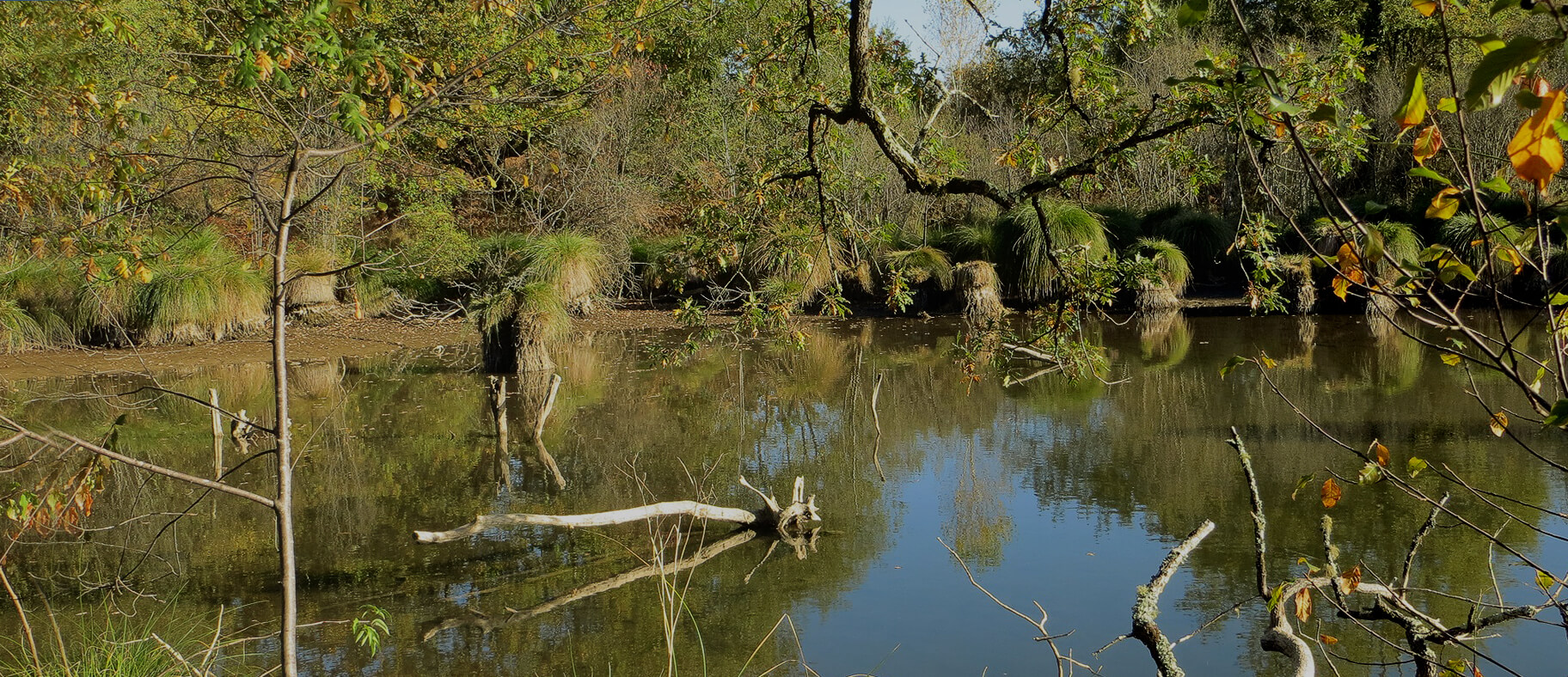
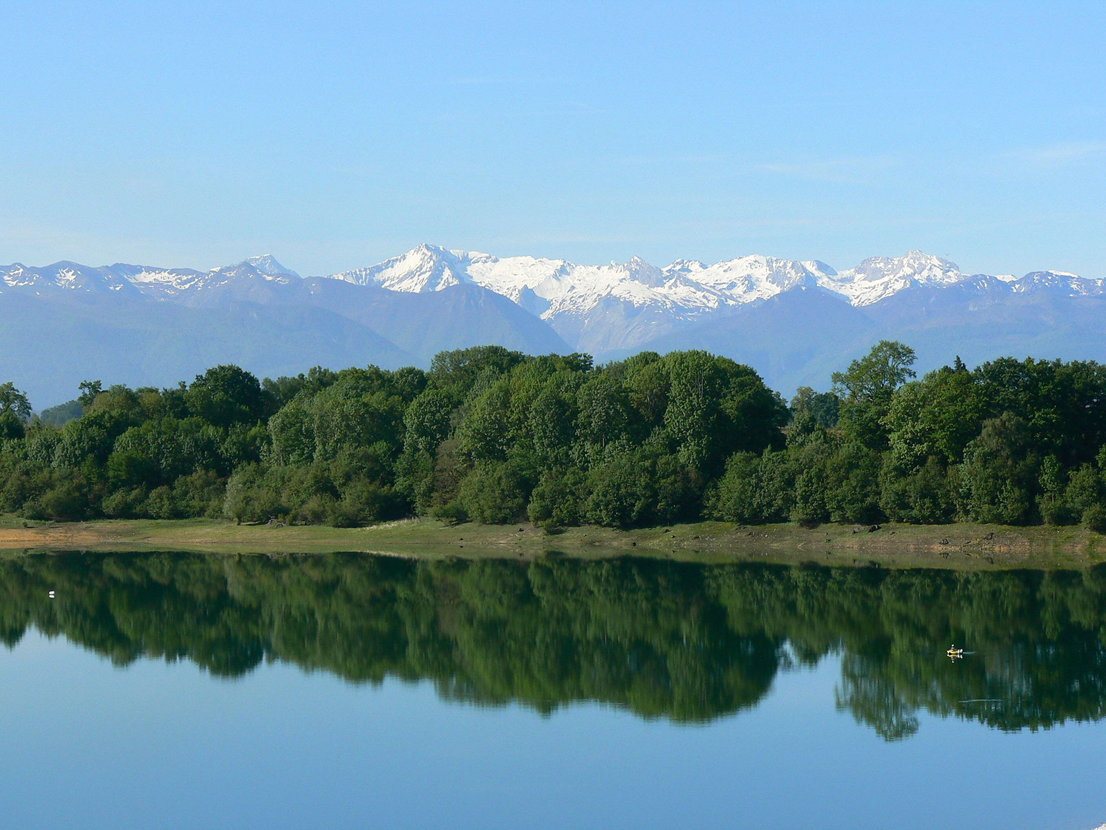
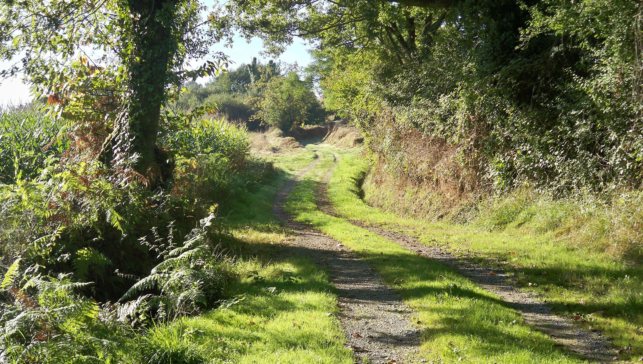
Hike from Peyre, in the foothills of the Luy de France valley. The path meanders over three valleys and offers a lovely view of the Pyrenees.

Already more than 200,000 users!
Uphill
348m
Highest point
167m
Downhill
348m
Lowest point
39m
Route type
Loop
Download the map on your smartphone to save battery and rest assured to always keep access to the route, even without signal.
Includes IGN France and Swisstopo.
I indicate whether dogs are allowed or prohibited on this trail
All year
0 ratings
Also enjoy:

Already more than 200,000 users!