Uphill
54m
Length
8km
Duration
2h
Elev gain
54m
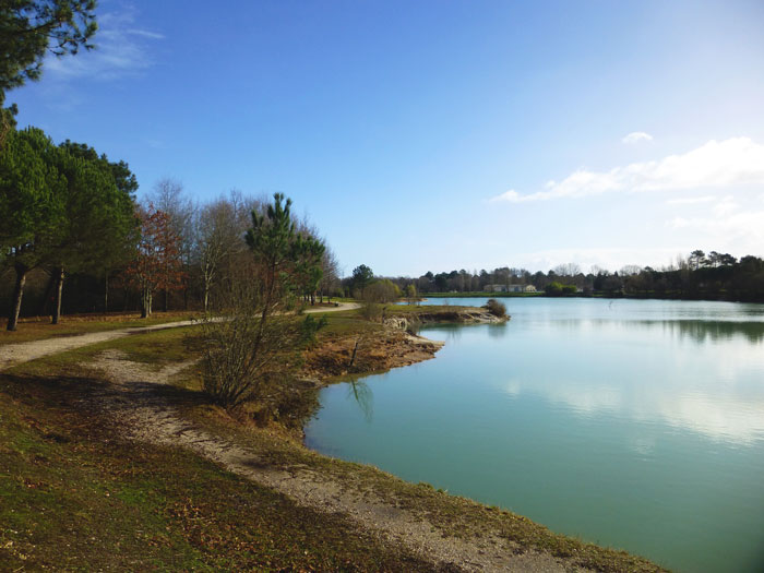
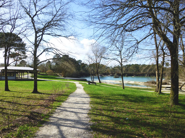
This circuit allows you to discover the Lac Bleu of Léognan, nestled in the middle of a beautiful forest park. The path then continues on tracks, between forest and vineyards.

Already more than 200,000 users!
Uphill
54m
Highest point
78m
Downhill
54m
Lowest point
44m
Route type
Loop
Download the map on your smartphone to save battery and rest assured to always keep access to the route, even without signal.
Includes IGN France and Swisstopo.
I indicate whether dogs are allowed or prohibited on this trail
All year
3 ratings
Also enjoy:

Already more than 200,000 users!