Uphill
41m
Length
1km
Duration
30min
Elev gain
41m
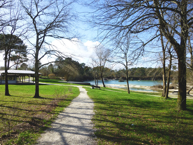
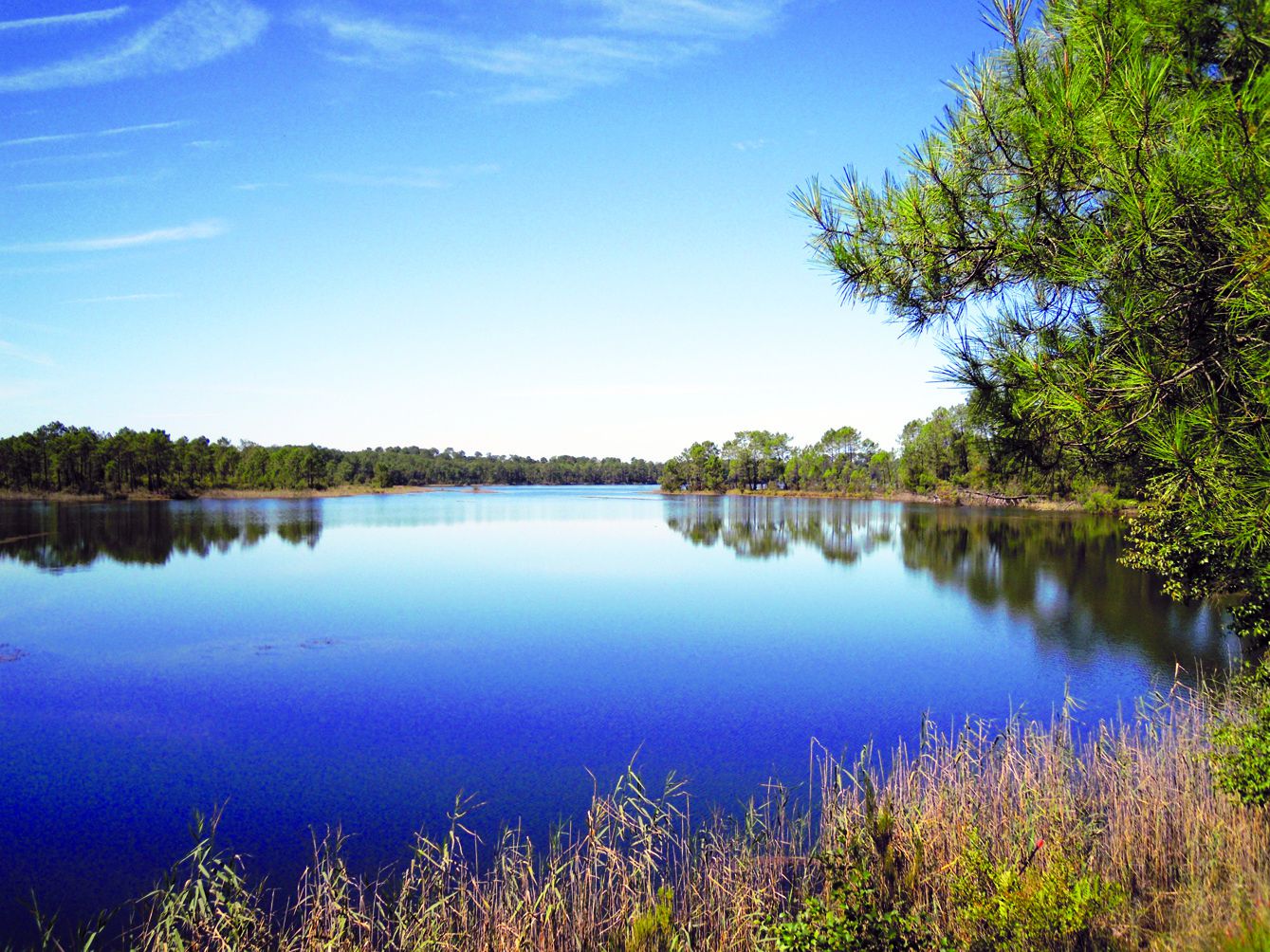
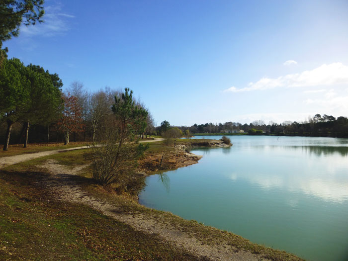
Short loop around the Lac Vert leisure center, created on a disused gravel pit. Ideal for a picnic by the water.

Already more than 200,000 users!
Uphill
41m
Highest point
72m
Downhill
41m
Lowest point
43m
Route type
Loop
Download the map on your smartphone to save battery and rest assured to always keep access to the route, even without signal.
Includes IGN France and Swisstopo.
I indicate whether dogs are allowed or prohibited on this trail
All year
0 ratings
Also enjoy:

Already more than 200,000 users!