Uphill
93m
France > Nouvelle-Aquitaine > Gironde > Landes de Gascogne Nature Park
Length
6km
Duration
2h
Elev gain
93m
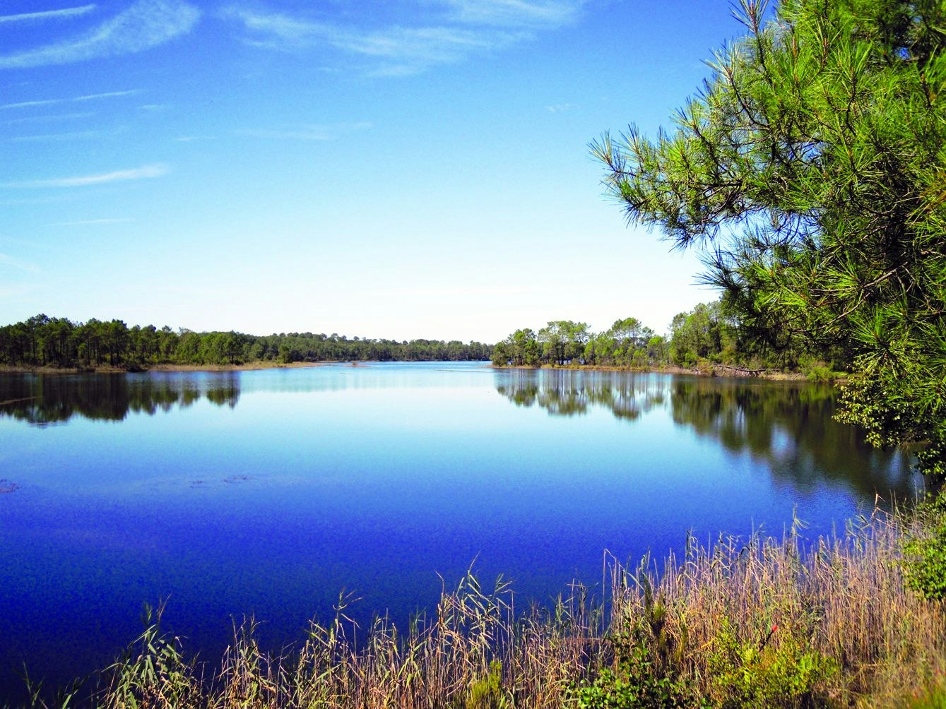
This trail goes around Bousquey Lake, the largest in the Hostens area. A calm and wooded setting for a nice walk.
⚠️ Please note: this walk is no longer possible following the fires of summer 2022.

Already more than 200,000 users!
Uphill
93m
Highest point
102m
Downhill
93m
Lowest point
70m
Route type
Loop
Download the map on your smartphone to save battery and rest assured to always keep access to the route, even without signal.
Includes IGN France and Swisstopo.
I indicate whether dogs are allowed or prohibited on this trail
All year
0 ratings
Also enjoy:

Already more than 200,000 users!


